
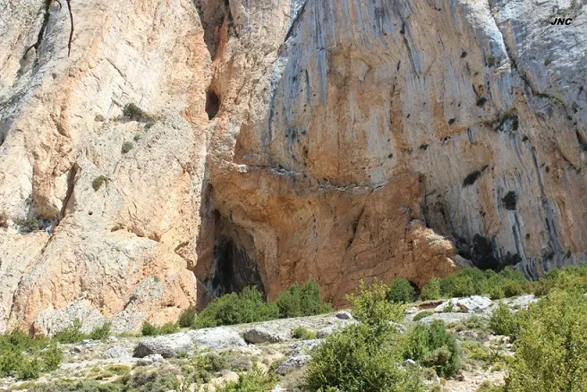
Cova Gran
A large rock shelter in the Serra de Sant Gervàs (Tremp), with a 44x28 metre portal, a passage of 31 metres and a positive height difference of +15 metres.
EspeleoWorld
Cova Gran
A large rock shelter in the Serra de Sant Gervàs (Tremp), with a 44x28 metre portal, a passage of 31 metres and a positive height difference of +15 metres.
Tremp · Pallars Jussà
Sviluppo: 31 m · Profondità: 15 m
Scheda aggiornata
https://espeleoworld.com/it/c/cova-gran-tremp
Le informazioni possono cambiare. Verifica sempre coordinate, accesso, meteo e condizioni della cavità prima di partire.
A large rock shelter in the Serra de Sant Gervàs (Tremp), with a 44x28 metre portal, a passage of 31 metres and a positive height difference of +15 metres.
Topografia
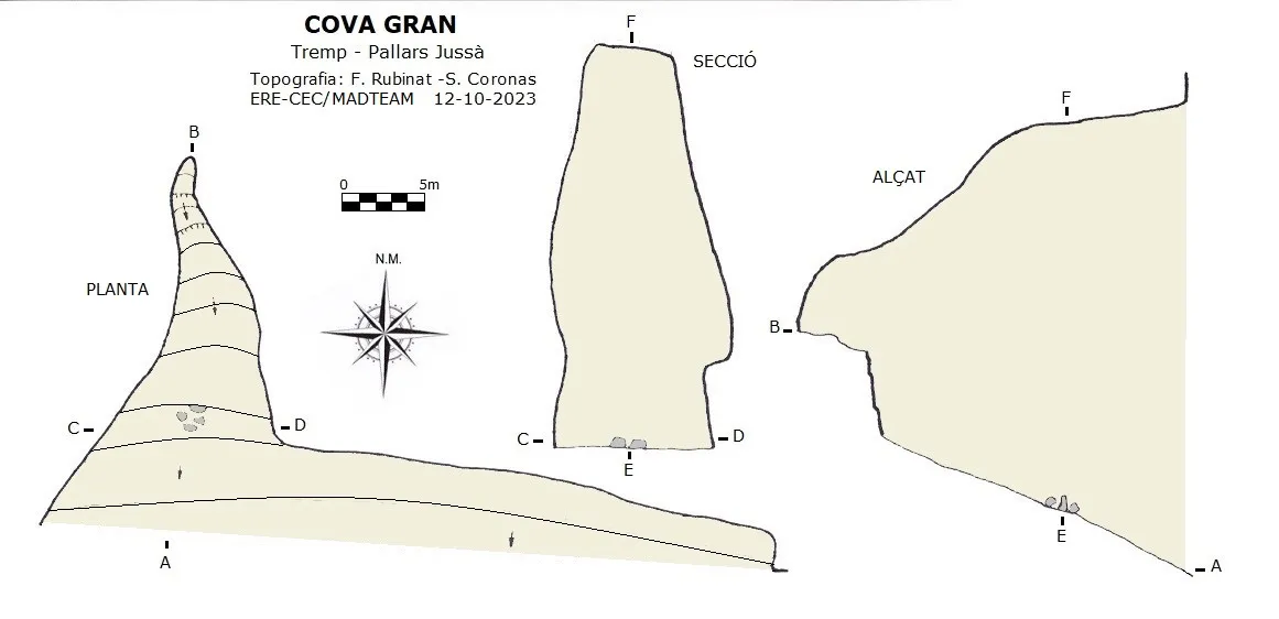
Espeleoindex · CC BY-NC 4.0, https://creativecommons.org/licenses/by-nc/4.0/ · Immagine © del suo autore.
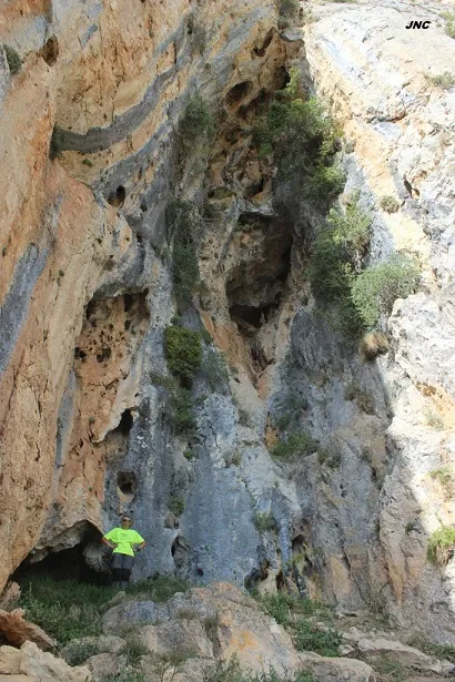
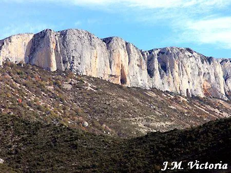
Foto
Espeleoindex · CC BY-NC 4.0, https://creativecommons.org/licenses/by-nc/4.0/ · Immagine © del suo autore.
Descrizione
Morfologia
It is a large, clear rock shelter with a portal of large dimensions (44x28 metres) which within a few metres already narrows considerably (9.65x24.5 metres). The cavity is entirely ascending and almost at the end an ascending step of about 5 metres must be overcome. In the roof of this gallery some chimneys can be seen and on its side, an elevated platform above the base of the gallery and the initial esplanade. At the E end of the rock shelter some dry-stone retaining wall of the esplanade can be seen and in the roof another notable chimney of unknown ascent. The cave has a passage of 31 metres and a positive height difference of +15 metres.
Storia
Although long known to the local people, the first speleological mention that we know of is provided by R. Jeannel, who visited it on 18-7-1911 during his biospeleological campaigns. It is not until 25-9-1977 that it is visited again by Oleguer Escolà and members of the ERE – CEC, also for biospeleological purposes.
Commenti degli utenti (0)
Nessun commento ancora.
Sii il primo a condividere la tua esperienza!
Esplorazioni registrate (0)
Nessuna esplorazione registrata.
Registra la tua visita a questa grotta!
Bibliografia
- Borràs,J.; Miñarro,JM.; Talavera,F.(1979).-”El Pallars Jussà”. Catàleg Espeleològic de Catalunya (Vol.3): 1-211. Ed Políglota.Barcelona.
- Jeannel, R. Et Racovitza, E.G. (1912).- “Enumération des grottes visitées, 1909-1911”. Biospeologica (XXIV). Archives de Zoologie Expérimentale et Générale.
- Valles, Jordi de (2008).-”Alta Ribagorça, Pallars Jussà, Pallars Sobirà, Val d'Aran”. Catàleg Espeleològic de Catalunya (vol.1)1-319. EC Gràcia/FCE.
- Dades, topografia i fotografies (JNC) facilitades per Jordi Navarro i Montse Mañosa (Centre Excursionista de Castellar del Vallès), agost de 2023.
- Coordenades topografia i fotografies facilitades per Francesc Rubinat (ERE-CEC) i Sergi Coronas (MADTEAM), octubre de 2023.
Grotte vicine
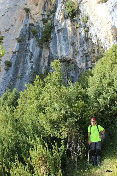
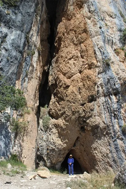


Fonte: Espeleoindex (espeleoindex.com), modificato. CC BY-NC 4.0, https://creativecommons.org/licenses/by-nc/4.0/