
Graller de Costa d'alzina
A 55-metre-deep pit near Beniure, in the municipality of Sant Esteve de la Sarga, explored in 1963 and 1967.
EspeleoWorld
Graller de Costa d'alzina
A 55-metre-deep pit near Beniure, in the municipality of Sant Esteve de la Sarga, explored in 1963 and 1967.
Sant Esteve de la Sarga · Pallars Jussà
Sviluppo: 101 m · Profondità: 55 m
Scheda aggiornata
https://espeleoworld.com/it/c/graller-de-costa-d-alzina
Le informazioni possono cambiare. Verifica sempre coordinate, accesso, meteo e condizioni della cavità prima di partire.
A 55-metre-deep pit near Beniure, in the municipality of Sant Esteve de la Sarga, explored in 1963 and 1967.
Topografia
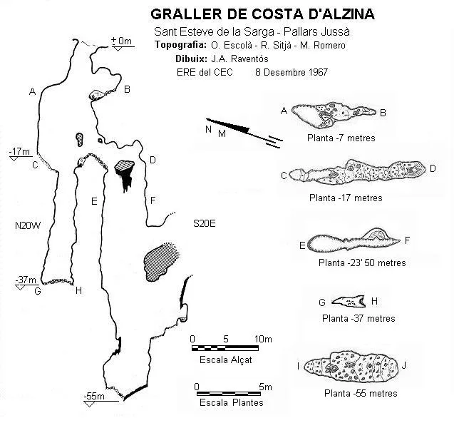

Espeleoindex · CC BY-NC 4.0, https://creativecommons.org/licenses/by-nc/4.0/ · Immagine © del suo autore.
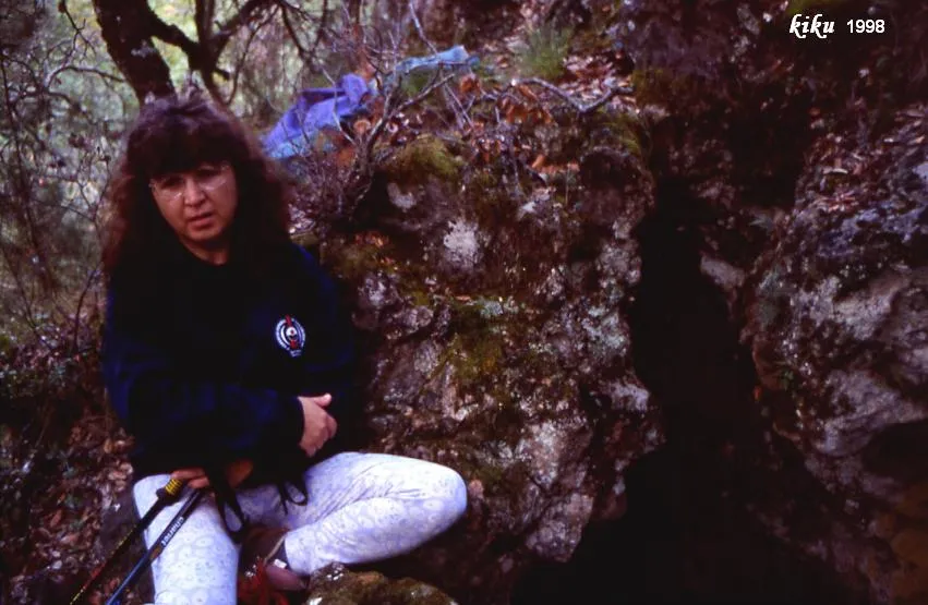
Foto

Espeleoindex · CC BY-NC 4.0, https://creativecommons.org/licenses/by-nc/4.0/ · Immagine © del suo autore.
Descrizione
Morfologia
The entrance, about 2 metres in diameter, gives way to a pit where at -7 metres we find a first ledge and at -16 we find another ledge; from here the pit continues descending to -37 metres but with a narrower section, this route offers no further continuity. Positioned on the ledge at -16 metres we will follow it southwards and reach the narrow entrance of a new pit (0.5 metres in diameter).
Concrezioni
In this 37-metre pit a drip accompanies us from the top; towards -40 metres it receives a lateral inflow that gives rise to a small “gour” and some flowstone that will accompany us to the bottom of the cavity.
Altri dettagli
The mention of Forat del Bunyidor that appears on the ICC map is more than likely to refer to the same cavity; in Beniure it is known as Brollador de Pedra Rodona.
Storia
Explored by F. Chavarria and A. Sangenís (GES del CMB) during Easter week of 1963, when they only explored the -37 metre pit. On 8 December 1967 it was fully explored by Ll. Auroux and D. González (SAS) and by R. Sitjà, M. Romero, J.I. Raventós and O. Escolà (ERE).
Note biospeleologiche
Opiliones:
Astrobunus grallator - Prosclerosoma hispanicum
Commenti degli utenti (0)
Nessun commento ancora.
Sii il primo a condividere la tua esperienza!
Esplorazioni registrate (0)
Nessuna esplorazione registrata.
Registra la tua visita a questa grotta!
Bibliografia
- Escolà i Boada, Oleguer (1970).- “Catálogo Espeleológico del Montsec”. Espeleòleg (11-12):563-565. ERE del CEC. Barcelona.
- Borràs, J; Miñarro, J.M.; Talavera, F.(1979).-Catàleg Espeleològic de Catalunya (Vol.3). ed. Políglota. Barcelona.
- Dades de biologia facilitades per Federico de la Vega.
Grotte vicine
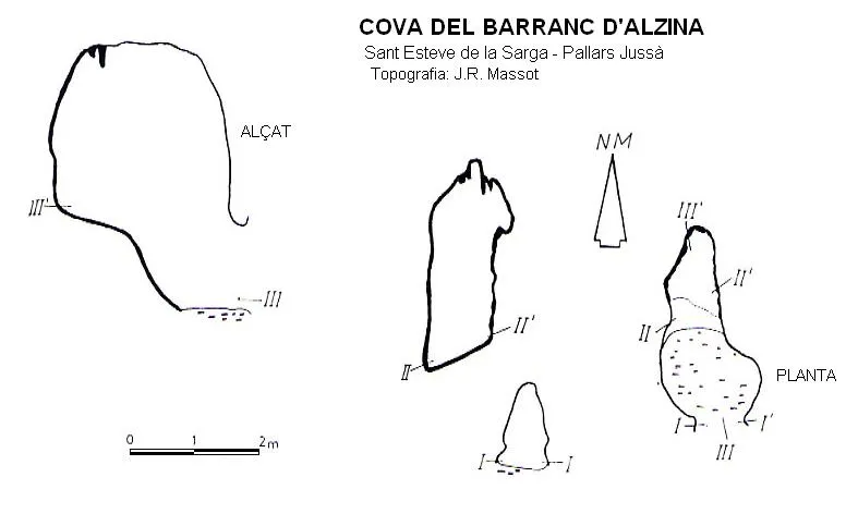
Cova del Barranc d'alzina
2.0 km · S
Sant Esteve de la Sarga (Pallars Jussà)
1 topo.
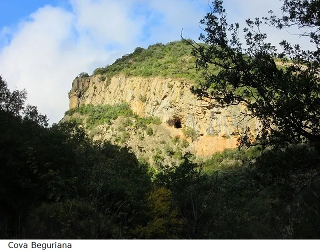
Cova Beguriana
2.1 km · E
Sant Esteve de la Sarga (Pallars Jussà)
1 topo.6 foto
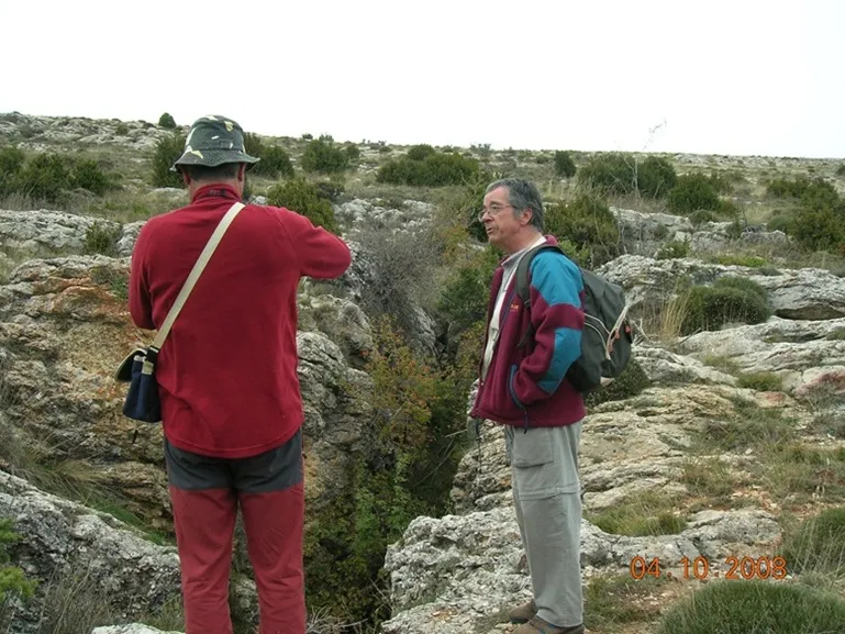
Graller del Clot del Pou
2.3 km · S
Sant Esteve de la Sarga (Pallars Jussà)
1 topo.5 foto
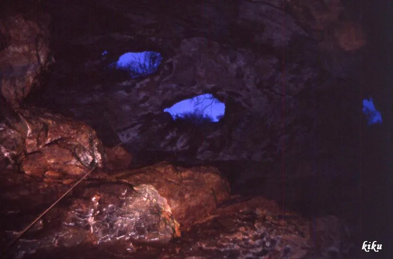
Grallera de Picon Bernat
2.3 km · S
Sant Esteve de la Sarga (Pallars Jussà)
1 topo.4 foto
Fonte: Espeleoindex (espeleoindex.com), modificato. CC BY-NC 4.0, https://creativecommons.org/licenses/by-nc/4.0/