
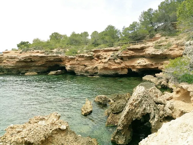
Coves del Xertolí
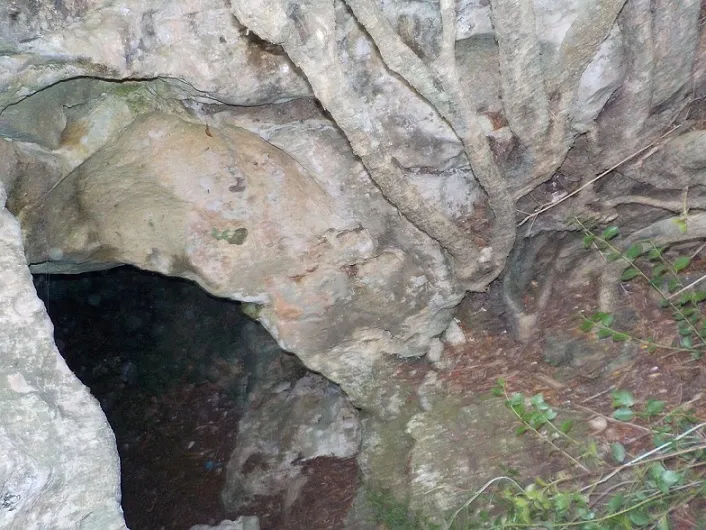
Two large sea-erosion caves linked to each other at l'Ametlla de Mar, known for ever and not cited by Faura (1909) or Ferrater (1918).
EspeleoWorld
Coves del Xertolí
Two large sea-erosion caves linked to each other at l'Ametlla de Mar, known for ever and not cited by Faura (1909) or Ferrater (1918).
Ametlla de Mar, L' · Baix Ebre
Sviluppo: 63 m · Profondità: 1 m
Scheda aggiornata
https://espeleoworld.com/it/c/coves-del-xertoli
Le informazioni possono cambiare. Verifica sempre coordinate, accesso, meteo e condizioni della cavità prima di partire.
Two large sea-erosion caves linked to each other at l'Ametlla de Mar, known for ever and not cited by Faura (1909) or Ferrater (1918).
Topografia
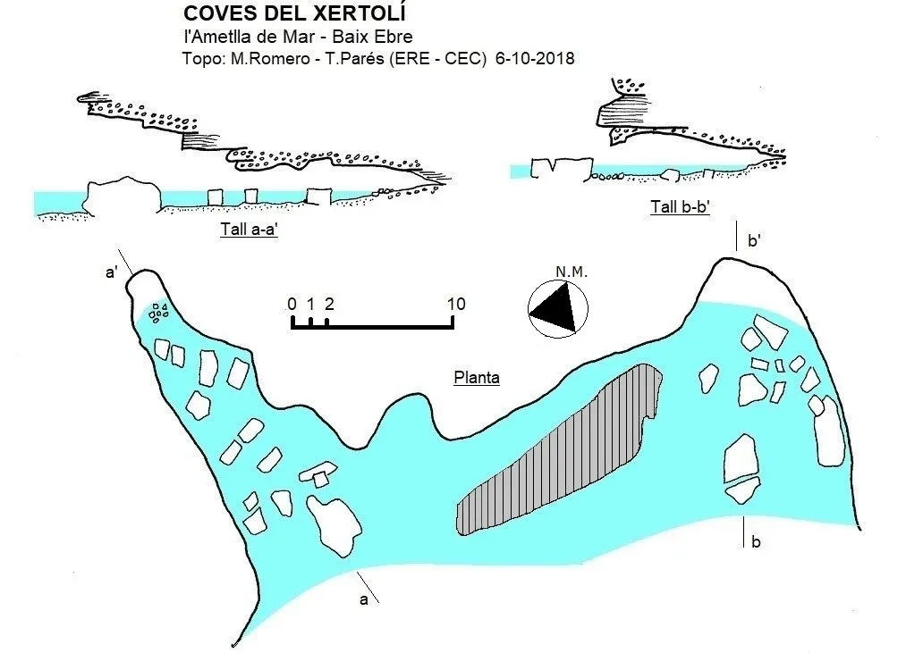
Espeleoindex · CC BY-NC 4.0, https://creativecommons.org/licenses/by-nc/4.0/ · Immagine © del suo autore.
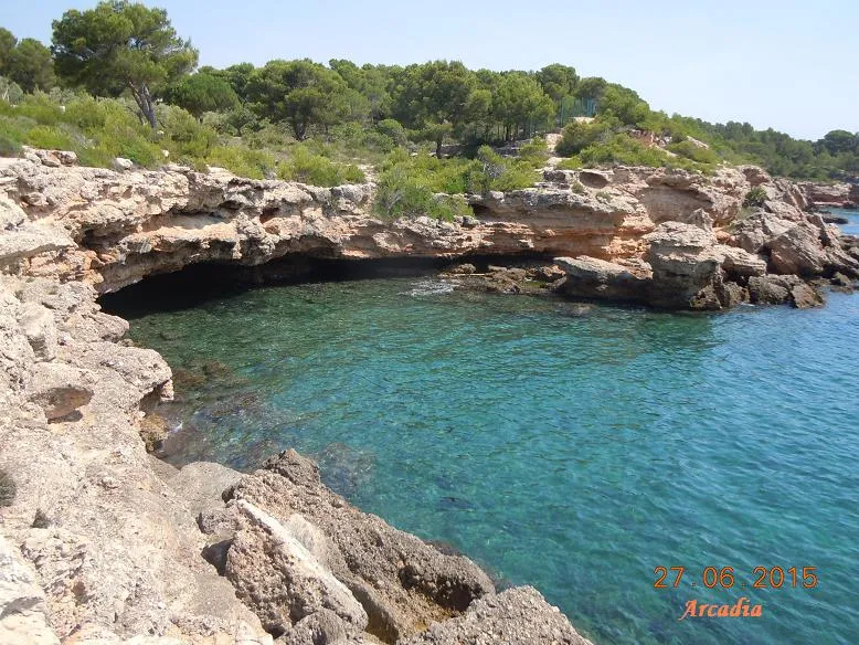
Foto
Espeleoindex · CC BY-NC 4.0, https://creativecommons.org/licenses/by-nc/4.0/ · Immagine © del suo autore.
Descrizione
Morfologia
The easternmost cave has a mouth of 13 by 2 metres and a dozen of passage, a low, almost submerged passage leads to a long and regular gallery that links with the second mouth, of larger dimensions and where a wide and lower gallery leads to the bottom of the cavity.
The alternation of strata of lutites and Quaternary conglomerates favours marine excavation and the detachment of large parallelepiped slabs, some very recent.
Idrologia
Practically the whole route is done through the water, which rarely exceeds one metre in depth.
Storia
Being so visible from the sea as from the path that follows the coast, they have been known for ever despite not being cited, at least under this name, by either Faura (1909) or Ferrater (1918). Maria Teresa Montaña (1991) calls the small cove el Xertolí and the official cartography locates a hypothetical AVENC DEL XERTOLÍ: at present only a rock bridge remains, since between marine erosion and collapses, favoured by the lithology and which the retreat of the coastline must be rapid, it has been dismantled.
Commenti degli utenti (0)
Nessun commento ancora.
Sii il primo a condividere la tua esperienza!
Esplorazioni registrate (0)
Nessuna esplorazione registrata.
Registra la tua visita a questa grotta!
Bibliografia
- Montaña i Martí, Maria Teresa (1991).- Els noms de llocs sotaiguats de la mar sitgetana a la rapitenca. 3 volums, 606 pp. + mapes. Col·lecció Ramon Berenguer IV. Diputació de Tarragona.
- Totes les dades, topografia i fotografies han estat facilitades per un grup de membres de l'ERE-CEC (A. Beguerie, T. Parés, M. Riera, J. Rius i M. Romero) que la van visitar el 6-10-2018.
Grotte vicine



Fonte: Espeleoindex (espeleoindex.com), modificato. CC BY-NC 4.0, https://creativecommons.org/licenses/by-nc/4.0/