

Cova Negra
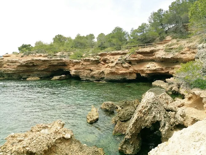
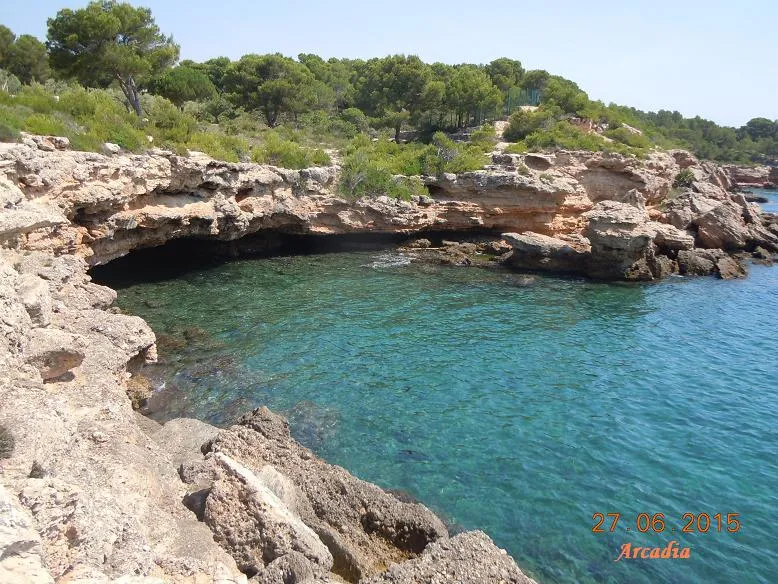
Marine erosion cave in l'Ametlla de Mar, semicircular, 20 by 12 metres, with large blocks to the west and largely occupied by shallow water.
EspeleoWorld
Cova Negra
Marine erosion cave in l'Ametlla de Mar, semicircular, 20 by 12 metres, with large blocks to the west and largely occupied by shallow water.
Ametlla de Mar, L' · Baix Ebre
Sviluppo: 12 m
Scheda aggiornata
https://espeleoworld.com/it/c/cova-negra-ametlla-de-mar
Le informazioni possono cambiare. Verifica sempre coordinate, accesso, meteo e condizioni della cavità prima di partire.
Marine erosion cave in l'Ametlla de Mar, semicircular, 20 by 12 metres, with large blocks to the west and largely occupied by shallow water.
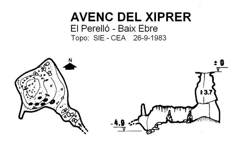
Topografia

Espeleoindex · CC BY-NC 4.0, https://creativecommons.org/licenses/by-nc/4.0/ · Immagine © del suo autore.
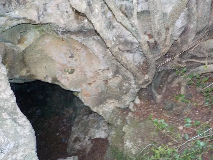
Foto
Espeleoindex · CC BY-NC 4.0, https://creativecommons.org/licenses/by-nc/4.0/ · Immagine © del suo autore.
Descrizione
Morfologia
Large semicircular cave, 20 by 12 metres, with large blocks on the western side.
Idrologia
Largely occupied by water, though shallow.
Altri dettagli
Excavated by marine erosion, favoured by the alternations of poorly consolidated conglomerate and lutites, corresponding to the Quaternary alluvial fan (Upper Pleistocene).
Storia
Known since time immemorial by the fishermen of the area, who used it as a visual reference to locate underwater fishing spots.
In the list of coastal caves of l'Ametlla de Mar (Faura, 1909: Ferraté, 1918) this cavity does not appear.
Commenti degli utenti (0)
Nessun commento ancora.
Sii il primo a condividere la tua esperienza!
Esplorazioni registrate (0)
Nessuna esplorazione registrata.
Registra la tua visita a questa grotta!
Bibliografia
- Montaña i Martí, Maria Teresa (1991).- Els noms de llocs sotaiguats de la mar sitgetana a la rapitenca. 3 volums, 606 pp. + mapes. Col·lecció Ramon Berenguer IV. Diputació de Tarragona.
- Totes les dades, topografia i fotografies han estat facilitades per un grup de membres de l'ERE-CEC (A. Beguerie, T. Parés, M. Riera, J. Rius i M. Romero) que la van visitar el 6-10-2018.
Grotte vicine


Fonte: Espeleoindex (espeleoindex.com), modificato. CC BY-NC 4.0, https://creativecommons.org/licenses/by-nc/4.0/