
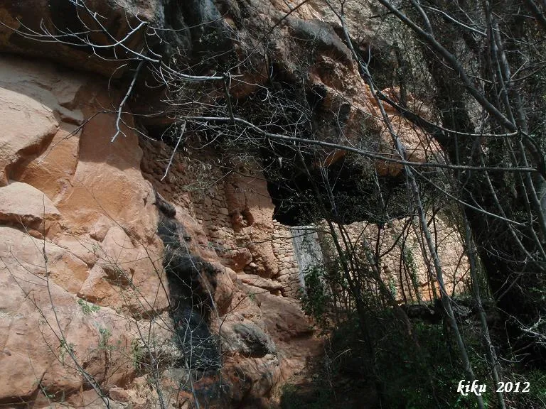
Cova Inferior de la Vansa
A worked rock shelter 18 metres long and 8 metres deep in the barranc de Fontfreda (Vilanova de Meià), divided into two rooms and with a one-metre drop.
EspeleoWorld
Cova Inferior de la Vansa
A worked rock shelter 18 metres long and 8 metres deep in the barranc de Fontfreda (Vilanova de Meià), divided into two rooms and with a one-metre drop.
Vilanova de Meià · Noguera
Sviluppo: 8 m · Profondità: 1 m
Scheda aggiornata
https://espeleoworld.com/it/c/cova-inferior-de-la-vansa
Le informazioni possono cambiare. Verifica sempre coordinate, accesso, meteo e condizioni della cavità prima di partire.
A worked rock shelter 18 metres long and 8 metres deep in the barranc de Fontfreda (Vilanova de Meià), divided into two rooms and with a one-metre drop.
Topografia
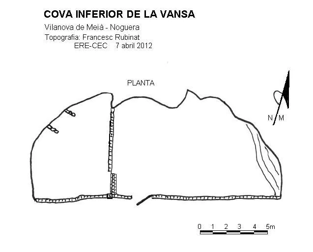

Espeleoindex · CC BY-NC 4.0, https://creativecommons.org/licenses/by-nc/4.0/ · Immagine © del suo autore.
Foto

Espeleoindex · CC BY-NC 4.0, https://creativecommons.org/licenses/by-nc/4.0/ · Immagine © del suo autore.
Descrizione
Morfologia
It is a rock shelter 18 metres wide by 8 metres deep, divided into two rooms and with a one-metre drop between the two. The whole front is closed by a wall with a door, and it is used sporadically by flocks of sheep. This rock shelter, architecturally and as a dwelling, forms part of the cova de la Vansa complex, but morphologically it is structured in a stratum located at a lower level than that of the cova de la Vansa.
Idrologia
The word "bansa" or "vansa" is a hydronym (a place name related to water). It comes from the Basque and Franco-Provençal word "laban", which means soft, slippery, like the river that rises at the Font Freda and descends through the barranc de Fontfreda.
Storia
There is evidence of the place name from the beginning of 1010, as it appears as a boundary of the endowment that Count Ermengol II of Urgell made to the church of Montmagastre. Later it formed part of the Baronia de Lavansa and in 1926 it was annexed to the municipality of Vilanova de Meià. It was inhabited permanently until the year 1932 by the Puigpinós family. It served as a hiding place during the civil war; later Solé, nicknamed "el Grives", lived there; from 1941 until 1950 it was inhabited by Ventura Puigpinós, born in the house at the beginning of the 20th century; afterwards it remained abandoned. On 29 October 1967 it was visited by several members of the SAS-CGB and of the ERE of the CEC. At present the place is much frequented by climbers.
Commenti degli utenti (0)
Nessun commento ancora.
Sii il primo a condividere la tua esperienza!
Esplorazioni registrate (0)
Nessuna esplorazione registrata.
Registra la tua visita a questa grotta!
Bibliografia
- Cortés i Ribelles, Manuel.(1984).- El Montsec i Muntanyes Veïnes. Centre Excursionista de Lleida.
- Escolà i Boada, Oleguer (1970).- “Catálogo Espeleológico del Montsec”. Espeleòleg (11-12):453-541. ERE del CEC. Barcelona.
- Reig,Joan; Aymamí,Gener; Peidró,Eliseo.(1998).-”Baronia de Lavansa: Romànic i trogloditisme amb incògnites”. Excursionisme (270):230-236. UEC. Barcelona.
- Vega, Josep de la. (1981).-”Aplec de documents arqueològics de les coves del Montsec i llur projecció a les comarques i serres properes”. Mediterrània (12): 1-359.
Grotte vicine
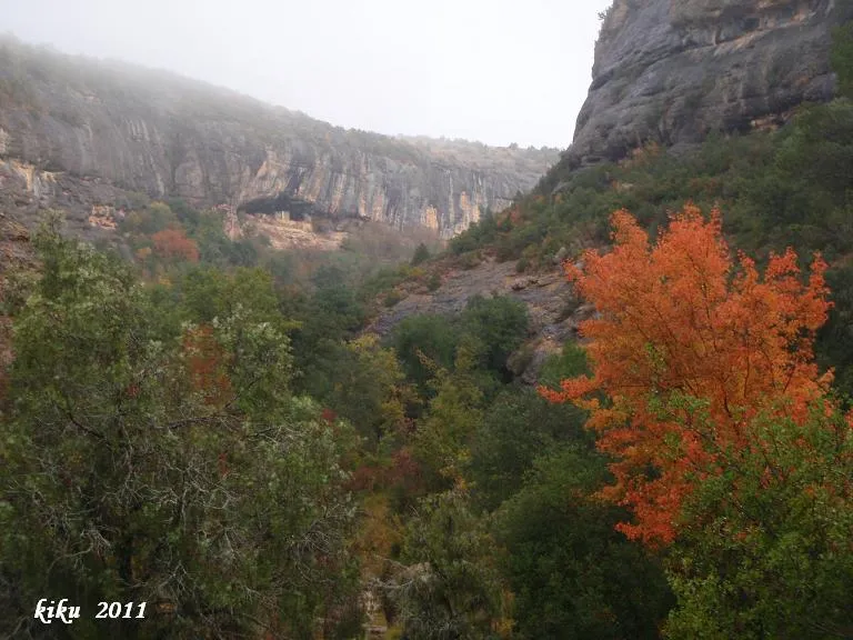
Cova de la Vansa
0.1 km · SO
Vilanova de Meià (Noguera)
2 topo.7 foto
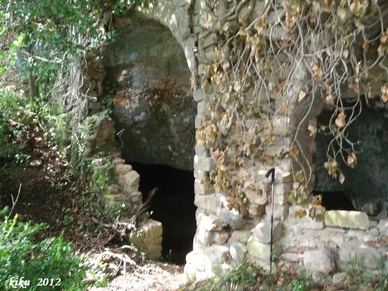
Cova de l'Ermita de la Vansa
0.2 km · SO
Vilanova de Meià (Noguera)
2 topo.4 foto
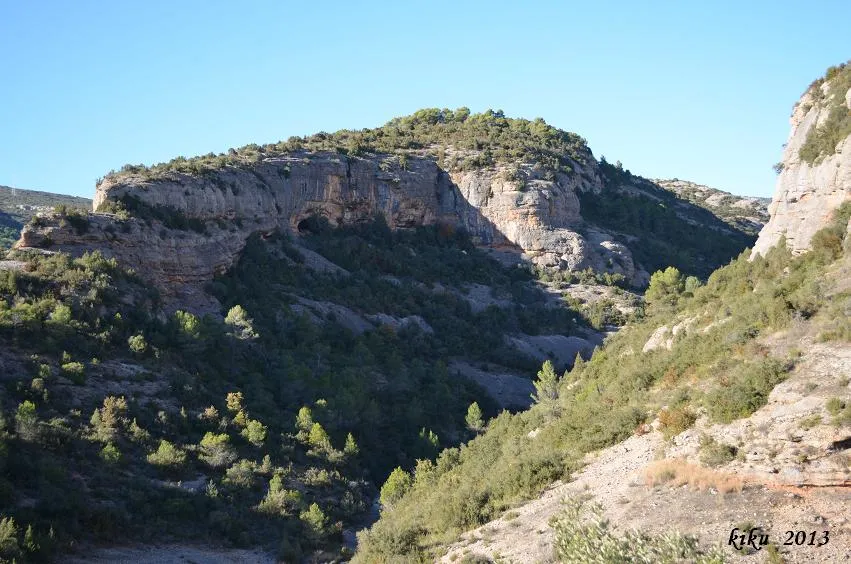
Cova dels Carrers de Lluçars
0.4 km · O
Vilanova de Meià (Noguera)
1 topo.8 foto
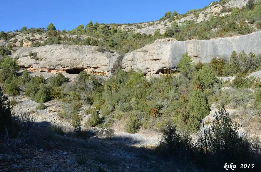
les Tres Coves
0.6 km · O
Vilanova de Meià (Noguera)
1 topo.4 foto
Fonte: Espeleoindex (espeleoindex.com), modificato. CC BY-NC 4.0, https://creativecommons.org/licenses/by-nc/4.0/