
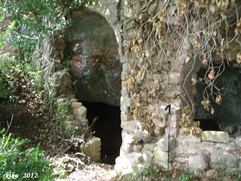
Cova de l'Ermita de la Vansa
A 13-metre-deep excavated cave at the barranc de Fontfreda, in Tòrrec, municipality of Vilanova de Meià, preceded by the ruins of an 11th-century Romanesque hermitage.
EspeleoWorld
Cova de l'Ermita de la Vansa
A 13-metre-deep excavated cave at the barranc de Fontfreda, in Tòrrec, municipality of Vilanova de Meià, preceded by the ruins of an 11th-century Romanesque hermitage.
Vilanova de Meià · Noguera
Sviluppo: 13 m · Profondità: 1 m
Scheda aggiornata
https://espeleoworld.com/it/c/cova-de-l-ermita-de-la-vansa
Le informazioni possono cambiare. Verifica sempre coordinate, accesso, meteo e condizioni della cavità prima di partire.
A 13-metre-deep excavated cave at the barranc de Fontfreda, in Tòrrec, municipality of Vilanova de Meià, preceded by the ruins of an 11th-century Romanesque hermitage.
Topografia
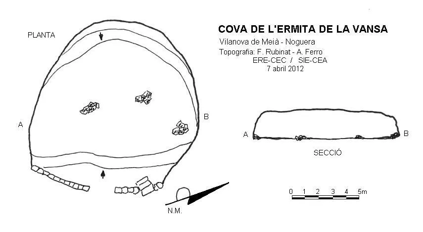
Espeleoindex · CC BY-NC 4.0, https://creativecommons.org/licenses/by-nc/4.0/ · Immagine © del suo autore.
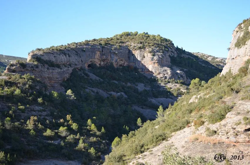
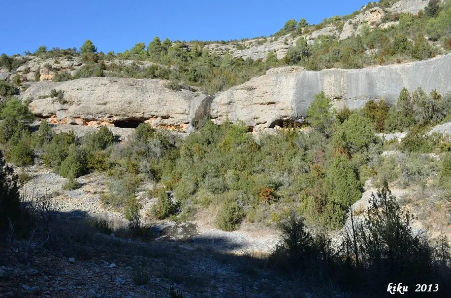
Foto
Espeleoindex · CC BY-NC 4.0, https://creativecommons.org/licenses/by-nc/4.0/ · Immagine © del suo autore.
Descrizione
Morfologia
It is a cave in the form of a hall 13x12 metres in diameter and 2 metres high.
Progressione
The access to it is preceded by the ruins of an 11th-century Romanesque hermitage (Mare de Déu de Gràcia or Santa Maria de la Vansa), of which it formed part. Currently, and due to the collapse of the hermitage, access to the cave is direct; when the hermitage was standing, access must have been from inside the hermitage by means of some stairs that are still preserved.
Storia
The oldest reference to the existence of the Hermitage and consequently of the cave dates from the year 1391, although its construction corresponds to the 11th century, with Gothic additions.
Commenti degli utenti (0)
Nessun commento ancora.
Sii il primo a condividere la tua esperienza!
Esplorazioni registrate (0)
Nessuna esplorazione registrata.
Registra la tua visita a questa grotta!
Bibliografia
- Cortés i Ribelles, Manuel.(1984).- El Montsec i Muntanyes Veïnes. Centre Excursionista de Lleida.
- Escolà i Boada, Oleguer (1970).- “Catálogo Espeleológico del Montsec”. Espeleòleg (11-12):453-541. ERE del CEC. Barcelona.
- Reig,Joan; Aymamí,Gener; Peidró,Eliseo.(1998).-”Baronia de Lavansa: Romànic i trogloditisme amb incògnites”. Excursionisme (270):230-236. UEC. Barcelona.
- Vega, Josep de la. (1981).-”Aplec de documents arqueològics de les coves del Montsec i llur projecció a les comarques i serres properes”. Mediterrània (12): 1-359.
Grotte vicine
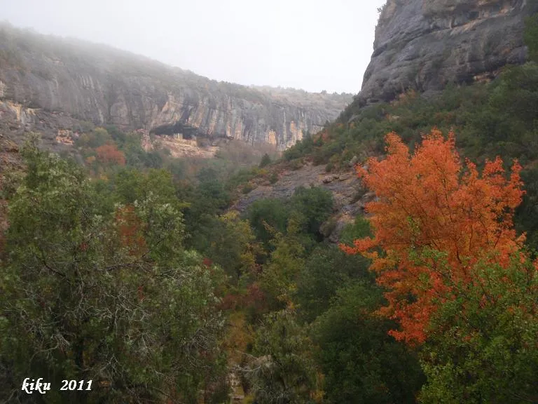
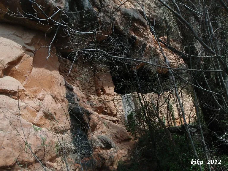


Fonte: Espeleoindex (espeleoindex.com), modificato. CC BY-NC 4.0, https://creativecommons.org/licenses/by-nc/4.0/