
Cova del Valent
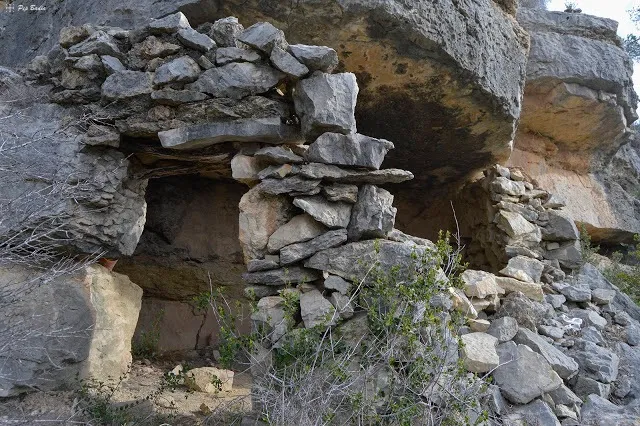
Small rock shelter in the Roca Roja area, in the Montsià, formed by a large rock overhang closed off with a dry-stone wall.
EspeleoWorld
Cova del Valent
Small rock shelter in the Roca Roja area, in the Montsià, formed by a large rock overhang closed off with a dry-stone wall.
Alcanar · Montsià
Sviluppo: 5 m
Scheda aggiornata
https://espeleoworld.com/it/c/cova-del-valent
Le informazioni possono cambiare. Verifica sempre coordinate, accesso, meteo e condizioni della cavità prima di partire.
Small rock shelter in the Roca Roja area, in the Montsià, formed by a large rock overhang closed off with a dry-stone wall.
Foto
Espeleoindex · CC BY-NC 4.0, https://creativecommons.org/licenses/by-nc/4.0/ · Immagine © del suo autore.
Descrizione
Morfologia
It is no more than a large rock overhang that has formed a lower space which has been closed off by a dry-stone wall, which must have served as a refuge for shepherds.
No survey is available and therefore we do not know the exact dimensions of the concavity.
Storia
Certainly known for a long time by those with good knowledge of the Montsià.
Georeferenced on the ICGC map and on other hiking maps.
Commenti degli utenti (0)
Nessun commento ancora.
Sii il primo a condividere la tua esperienza!
Esplorazioni registrate (0)
Nessuna esplorazione registrata.
Registra la tua visita a questa grotta!
Bibliografia
- Totes les dades i fotografies ha estat extretes del blog: senderes.blogspot (de Pep Badia, la Ràpita). Inclou ruta de wikiloc i track.
Grotte vicine

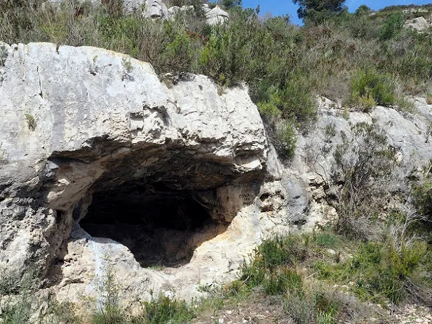
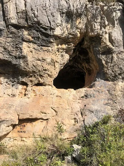
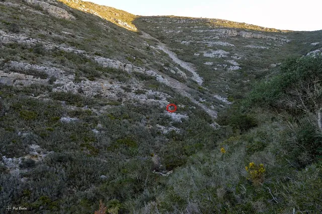

Fonte: Espeleoindex (espeleoindex.com), modificato. CC BY-NC 4.0, https://creativecommons.org/licenses/by-nc/4.0/