

Cova de Tarrits
A cavity with 12 metres of passage in the municipality of Àger, known since ancient times and used as a sheepfold.
EspeleoWorld
Cova de Tarrits
A cavity with 12 metres of passage in the municipality of Àger, known since ancient times and used as a sheepfold.
Àger · Noguera
Sviluppo: 12 m
Scheda aggiornata
https://espeleoworld.com/it/c/cova-de-tarrits
Le informazioni possono cambiare. Verifica sempre coordinate, accesso, meteo e condizioni della cavità prima di partire.
A cavity with 12 metres of passage in the municipality of Àger, known since ancient times and used as a sheepfold.
Topografia

Espeleoindex · CC BY-NC 4.0, https://creativecommons.org/licenses/by-nc/4.0/ · Immagine © del suo autore.
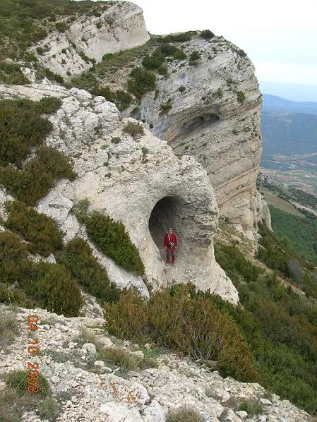
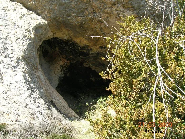
Foto
Espeleoindex · CC BY-NC 4.0, https://creativecommons.org/licenses/by-nc/4.0/ · Immagine © del suo autore.
Descrizione
Morfologia
It is a cavity with 12 metres of passage, completely clear due to its wide entrance.
Storia
Known since ancient times and used as a sheepfold. It seems that it was visited by the Club Gimnàstic Barcelonès in the sixties, as the initials painted at the mouth corroborate this.
Commenti degli utenti (0)
Nessun commento ancora.
Sii il primo a condividere la tua esperienza!
Esplorazioni registrate (0)
Nessuna esplorazione registrata.
Registra la tua visita a questa grotta!
Bibliografia
Rubinat Aumedes, Francesc (1986).- “Nota sobre tres cavidades del Montsec (La Noguera)” Espeleosie (28): 23-25. SIE- CE Àliga. Barcelona
Grotte vicine



Fonte: Espeleoindex (espeleoindex.com), modificato. CC BY-NC 4.0, https://creativecommons.org/licenses/by-nc/4.0/