
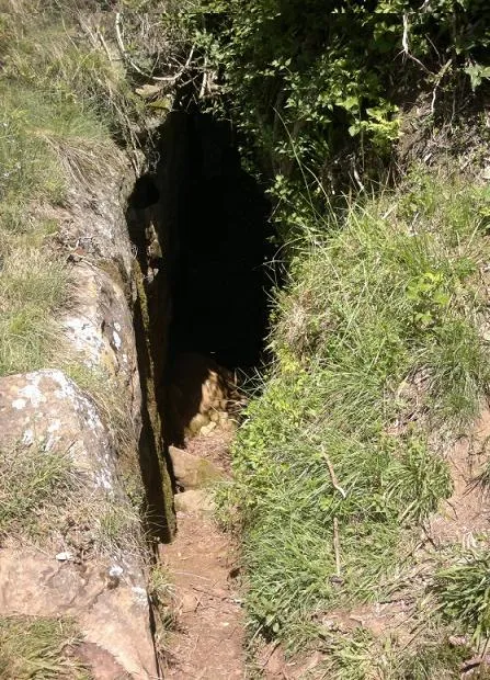
Cova de Roca Lladre
Small cave with 80 m of passage at Marbolenys, in the Serra del Corb (Garrotxa), with two entrances, a 5 m pit and an estimated vertical range of 13 m (+7;-6).
EspeleoWorld
Cova de Roca Lladre
Small cave with 80 m of passage at Marbolenys, in the Serra del Corb (Garrotxa), with two entrances, a 5 m pit and an estimated vertical range of 13 m (+7;-6).
Sant Feliu de Pallerols · Garrotxa
Sviluppo: 80 m · Profondità: 13 m
Scheda aggiornata
https://espeleoworld.com/it/c/cova-de-roca-lladre
Le informazioni possono cambiare. Verifica sempre coordinate, accesso, meteo e condizioni della cavità prima di partire.
Small cave with 80 m of passage at Marbolenys, in the Serra del Corb (Garrotxa), with two entrances, a 5 m pit and an estimated vertical range of 13 m (+7;-6).
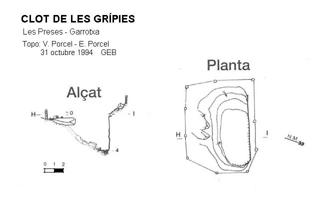
Topografia
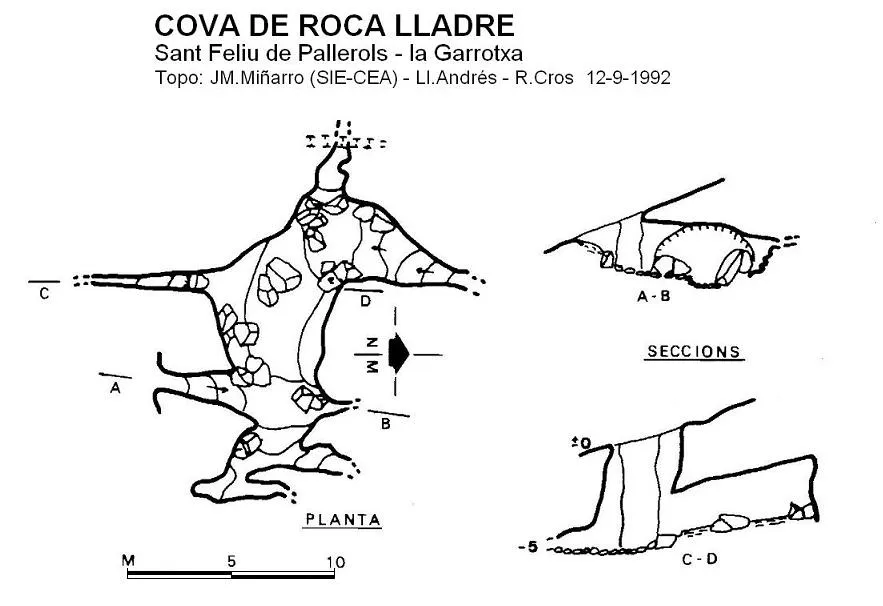
Espeleoindex · CC BY-NC 4.0, https://creativecommons.org/licenses/by-nc/4.0/ · Immagine © del suo autore.
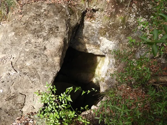
Foto
Espeleoindex · CC BY-NC 4.0, https://creativecommons.org/licenses/by-nc/4.0/ · Immagine © del suo autore.
Descrizione
Morfologia
Consists of a single gallery which can be entered through two entrances that intersect laterally with the main gallery. The lower entrance has a short descending ramp that opens out in the very middle of the gallery; to the right it soon ends in two impenetrable passages and to the left it leads to the base of a 5 m pit which is the upper entrance. At the end of the gallery an impenetrable fissure can be seen that communicates with the outside. A narrow laminar passage and some further passages, explored later, increase its length to 80 m. The estimated vertical range is 13 m (+7;-6).
Storia
Although it has been known for many years by hikers and local people, mentioned in various hiking guides and on the Editorial Alpina map, no specific data on the cavity were available until it was visited and surveyed by the SIE – CE Àliga in September 1992, accompanied by some nature-loving friends from Sant Feliu de Pallerols. Visited again by members of the EC Gràcia and the GE Badalona in August 2015, while carrying out a review of data and exploration of some new passages that extend the length to 80 m. As for the toponymy, in Sant Feliu the few who know it call it Cova de Roca Lladre. On old Editorial Alpina maps it appears as Cova del Lladre and in the ICGC cartography there is more variety: the nearby summit appears as Roca Lladre, the point where the cavity is located is labelled Cova de Rocalladre and above it, in larger type, Forat de Rocalladre.
Commenti degli utenti (0)
Nessun commento ancora.
Sii il primo a condividere la tua esperienza!
Esplorazioni registrate (0)
Nessuna esplorazione registrata.
Registra la tua visita a questa grotta!
Bibliografia
- Valles, J. de (2009).- Catàleg espeleològic de Catalunya. Vol.3: 381 pp. Espeleo Club de Gràcia / Federació Catalana d'Espeleologia. Barcelona.
- Actualització de dades, topografia (2015) i altres fotografies, extretes del web: geb.cat (del Grup d'Espeleologia de Badalona). Apunt del dia 1-5-2016
Grotte vicine
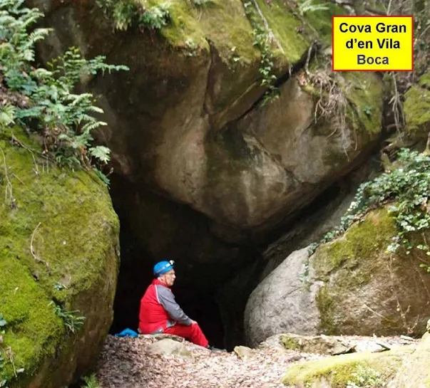
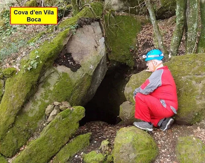


Fonte: Espeleoindex (espeleoindex.com), modificato. CC BY-NC 4.0, https://creativecommons.org/licenses/by-nc/4.0/