
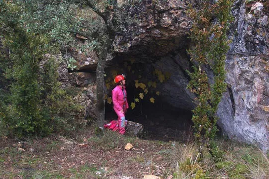
Cova de Joan d'os
A cave with 114 metres of passage near Tartareu (Les Avellanes i Santa Linya), explored and excavated in 1915 and resurveyed in 2007.
EspeleoWorld
Cova de Joan d'os
A cave with 114 metres of passage near Tartareu (Les Avellanes i Santa Linya), explored and excavated in 1915 and resurveyed in 2007.
Avellanes i Santa Linya, Les · Noguera
Sviluppo: 114 m · Profondità: 29 m
Scheda aggiornata
https://espeleoworld.com/it/c/cova-de-joan-d-os
Le informazioni possono cambiare. Verifica sempre coordinate, accesso, meteo e condizioni della cavità prima di partire.
A cave with 114 metres of passage near Tartareu (Les Avellanes i Santa Linya), explored and excavated in 1915 and resurveyed in 2007.
Topografia
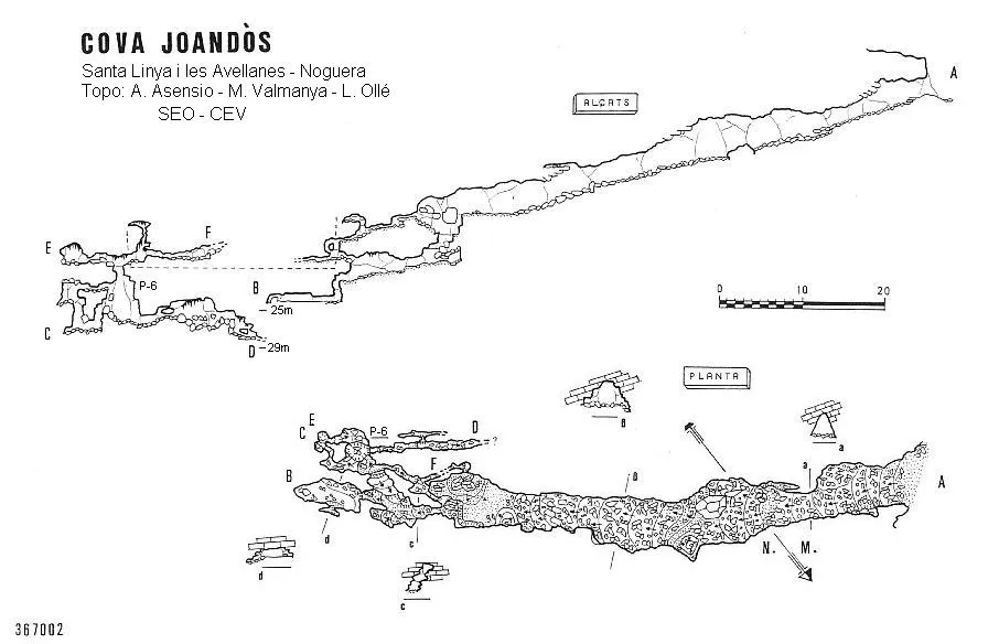

Espeleoindex · CC BY-NC 4.0, https://creativecommons.org/licenses/by-nc/4.0/ · Immagine © del suo autore.
Foto

Espeleoindex · CC BY-NC 4.0, https://creativecommons.org/licenses/by-nc/4.0/ · Immagine © del suo autore.
Descrizione
Morfologia
The 3x4 metre entrance gives way to a descending gallery of about 50 metres and a section similar to the entrance. At this point we find on one hand a couple of vertical drops, as well as on the other hand, a crawl that leads us through a new sector of galleries, which end up coinciding with the previous ones and allow reaching a small chamber 4x9 and 1.5 metres high.
Storia
Explored and excavated by Pere Bosch Gimpera, Josep Colomines Roca and Matias Pallarès Gil during 1915. Important Eneolithic site.
In 2007 Toni Asensio (SEO-CEV) carried out a survey revision, locating new galleries that increase the length and depth of the cavity.
Toponymy: It seems that according to toponymy, the name of the cave should be Cova de Juandòs, but the fact that from the beginning it has been called Cova de Joan d'Os in all the publications where the cavity is cited and especially in archaeology, makes modification of the name by which the cave is known very unlikely.
Note biospeleologiche
Coleoptera
- Lagariella colominasi (Zariquiey, 1924)
(previously: Speonomus (Speonomites) colominasi Zariquiey, 1924 (J.Bertran – JM Sanmartin, 9-11-1968)
Commenti degli utenti (0)
Nessun commento ancora.
Sii il primo a condividere la tua esperienza!
Esplorazioni registrate (0)
Nessuna esplorazione registrata.
Registra la tua visita a questa grotta!
Bibliografia
- Cortés i Ribelles, Manuel.(1984).- El Montsec i Muntanyes Veïnes. Centre Excursionista de Lleida.
- De La Vega, J.(1969).-”Avance de los materiales arqueológicos procedentes de la cueva de Joan d'Os (Tartareu). Mediterrània (4-5):20-27.
- De La Vega, F.(1972).-”Contribución al conocimiento espeleológico de la sierra de Sant Miquel (Montsec). Senderos (162):18-22. UEC.
- Escolà i Boada, Oleguer (1970).- “Catálogo Espeleológico del Montsec”. Espeleòleg (11-12):453-541. ERE del CEC. Barcelona.
- Gàzquez i Pons, Josep Lluís (1995).-”Catàleg Espeleològic de la Noguera”. Grallera (3-4):1-90.GELL-CE Lleida.
- Vallespí Pérez, Enrique.(2001).-”Reconocimiento arqueológico del bajo Aragón en el siglo XIX y primer tercio del XX: evocación de sus protagonistas”. SPAL (10):57-73.
- Coordenades, situació i fotografies aportades per Alfred Montserrat (ERE del CEC).
- Topografia actualitzada facilitada per Toni Asensio (SEO-CE Vallirana).
Grotte vicine
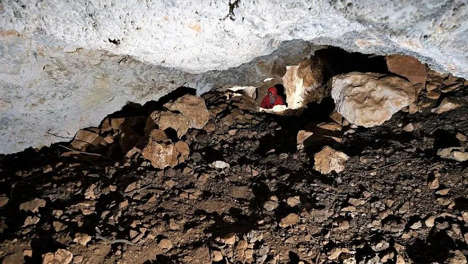
Cova Patxarro
0.7 km · SE
Avellanes i Santa Linya, Les (Noguera)
1 topo.9 foto
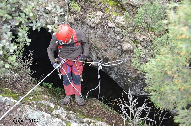
Forat del Caco
1.9 km · NE
Avellanes i Santa Linya, Les (Noguera)
1 topo.13 foto
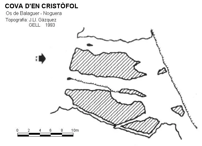
Cova d'en Cristòfol
3.4 km · O
Os de Balaguer (Noguera)
1 topo.
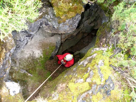
Forat Florés
3.8 km · E
Avellanes i Santa Linya, Les (Noguera)
1 topo.7 foto
Fonte: Espeleoindex (espeleoindex.com), modificato. CC BY-NC 4.0, https://creativecommons.org/licenses/by-nc/4.0/