
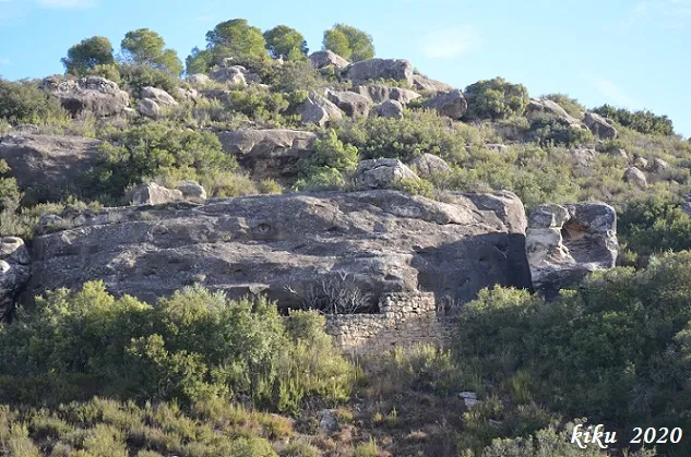
Cova de Baladrons
A rock shelter worked in the Baladrons valley, el Cogul, known since ancient times and today abandoned.
EspeleoWorld
Cova de Baladrons
A rock shelter worked in the Baladrons valley, el Cogul, known since ancient times and today abandoned.
Cogul, El · Garrigues
Sviluppo: 6 m · Profondità: 1 m
Scheda aggiornata
https://espeleoworld.com/it/c/cova-de-baladrons
Le informazioni possono cambiare. Verifica sempre coordinate, accesso, meteo e condizioni della cavità prima di partire.
A rock shelter worked in the Baladrons valley, el Cogul, known since ancient times and today abandoned.
Topografia
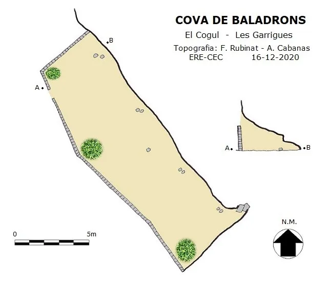
Espeleoindex · CC BY-NC 4.0, https://creativecommons.org/licenses/by-nc/4.0/ · Immagine © del suo autore.
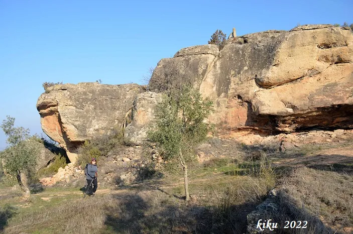
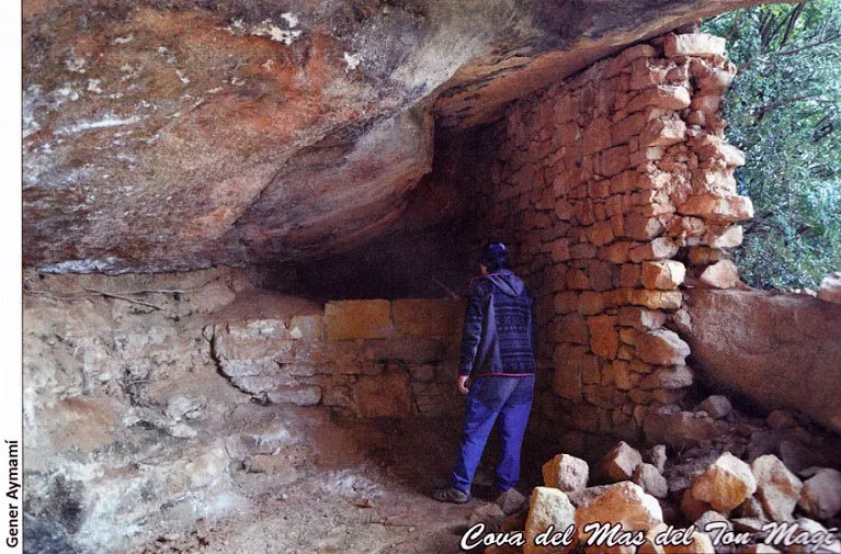
Foto
Espeleoindex · CC BY-NC 4.0, https://creativecommons.org/licenses/by-nc/4.0/ · Immagine © del suo autore.
Descrizione
Morfologia
Rock shelter 16 metres wide in the worked part and five metres beyond the enclosure; it has a maximum depth of 6 metres and the height ranges from 2.8 metres at the porch to about 40 centimetres in the inner part of the rock shelter. The wall that closes the rock shelter in its central part reaches the ceiling, acting as a pillar in an attempt to support the rock that serves as a roof.
Storia
Known since ancient times and used as shelter from bad weather, it is currently in a state of abandonment. It should be borne in mind that the majority of the rock shelters in the comarca of Garrigues which are toponymically called “Coves” are in reality, for the most part, artificial. They are excavated from a rock that serves as a roof and with the consequent hollowing out below until the space necessary for the desired purpose is achieved; often the inner walls acted as supports for the ceiling. The abandonment of these spaces has led to their being left without maintenance, where time and erosion itself have ended up collapsing some of these rock shelters; an example is found at the cova del Miquel del Moix, located almost at the head of this same Baladrons valley, where part of the rock roof has slipped, leaving the rock shelter collapsed.
Commenti degli utenti (0)
Nessun commento ancora.
Sii il primo a condividere la tua esperienza!
Esplorazioni registrate (0)
Nessuna esplorazione registrata.
Registra la tua visita a questa grotta!
Bibliografia
- Esquerda Ribes, Mateu (2004).-”La cova de les Creus, la cova de la Pujola i el despoblat de la Cova al terme de Cogul”. IV Trobada d'Estudiosos de la Comarca de les Garrigues. 35-56. Les Borges Blanques.
- Martín i Vilaseca, Fèlix; Serra i Batlle, Ramon (1991).-Les construccions de pedra seca a la comarca de les Garrigues. 1-145. Pagès Editors. Lleida.
- Martín i Vilaseca, Fèlix; Preixens i Llevadot, Josep (2005).-Les construccions de pedra seca. 1-457. Pagès Editors. Lleida.
- Preixens i Llevadot, Josep (2003).-”Inventari de les cabanes de la comarca de les Garrigues”. Dovella (Hivern 2002):27-30. Manresa.
- Coordenades, dades, topografia i fotografies facilitades per Arcadia Cabanas i Francesc Rubinat (ERE-CEC). Desembre 2020.
Grotte vicine
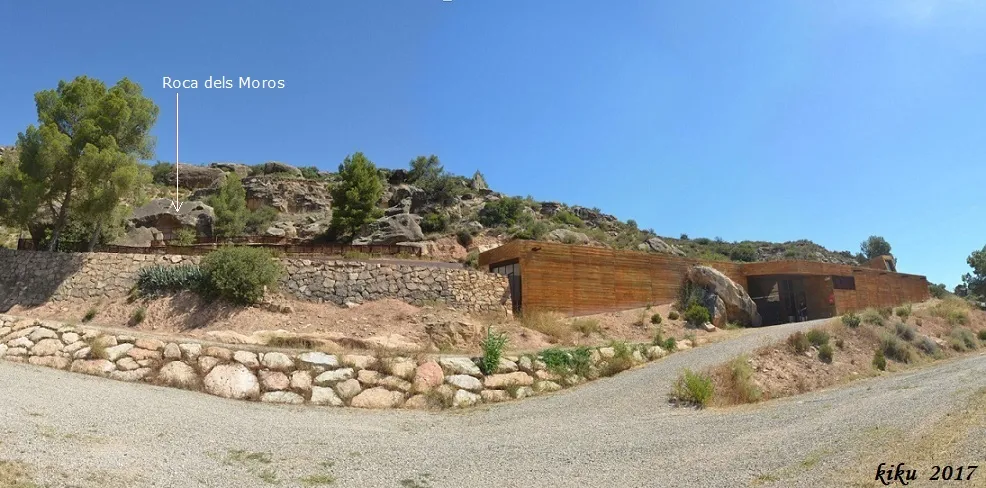
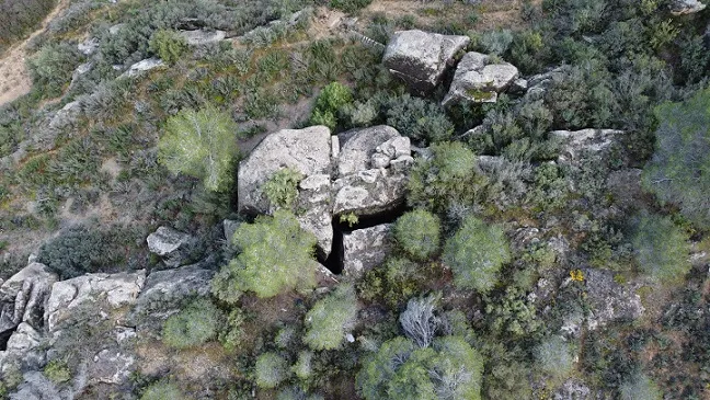


Fonte: Espeleoindex (espeleoindex.com), modificato. CC BY-NC 4.0, https://creativecommons.org/licenses/by-nc/4.0/