
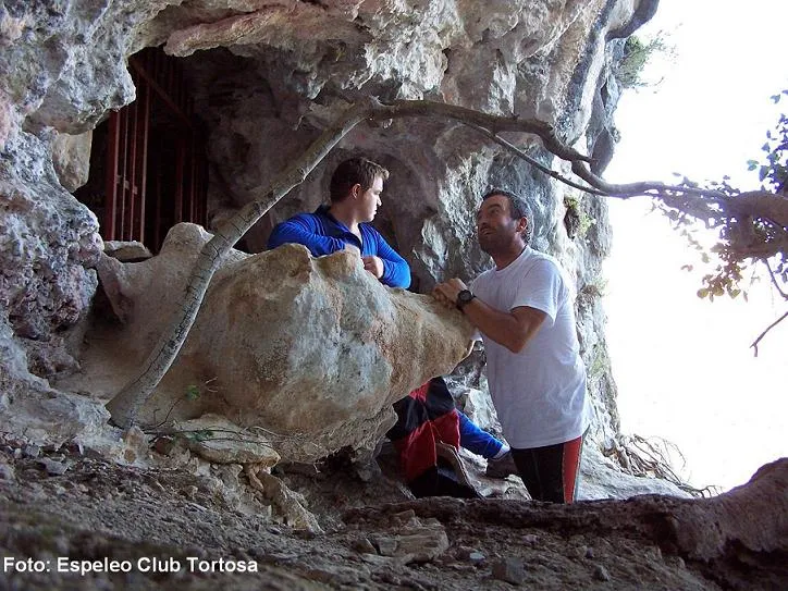
Cova d'en Domingo Grau
A 156 m long cave in Horta de Sant Joan (el Port), with an entrance 1.30 x 1.20 m, galleries, a hall with lithogenic concretions and a gour, a 6 m small shaft and a total elevation change of 16.20 m (-6.70; +9.50).
EspeleoWorld
Cova d'en Domingo Grau
A 156 m long cave in Horta de Sant Joan (el Port), with an entrance 1.30 x 1.20 m, galleries, a hall with lithogenic concretions and a gour, a 6 m small shaft and a total elevation change of 16.20 m (-6.70; +9.50).
Horta de Sant Joan · Terra Alta
Sviluppo: 156 m · Profondità: 16 m
Scheda aggiornata
https://espeleoworld.com/it/c/cova-d-en-domingo-grau
Le informazioni possono cambiare. Verifica sempre coordinate, accesso, meteo e condizioni della cavità prima di partire.
A 156 m long cave in Horta de Sant Joan (el Port), with an entrance 1.30 x 1.20 m, galleries, a hall with lithogenic concretions and a gour, a 6 m small shaft and a total elevation change of 16.20 m (-6.70; +9.50).
Topografia
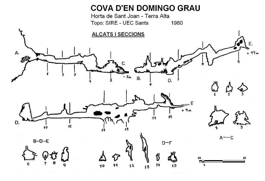
Espeleoindex · CC BY-NC 4.0, https://creativecommons.org/licenses/by-nc/4.0/ · Immagine © del suo autore.
Foto
Espeleoindex · CC BY-NC 4.0, https://creativecommons.org/licenses/by-nc/4.0/ · Immagine © del suo autore.
Descrizione
Morfologia
The entrance (1.30 x 1.20 m), protected by an iron grille that is currently always open, communicates with a gallery about 15 metres long that leads to a kind of hall from which different passages branch off. If we follow the one ahead, according to the direction of entry, we find a step about 4 metres in diameter and 3 in elevation change; the lower gallery turns left and after a narrow passage we reach an elongated hall (10 x 3.10 m).
Returning to the first junction, on the right a gallery begins, about 16 metres long and ascending, until reaching a 6 metre small shaft followed by a gallery of 14 metres until the diaclase becomes impassable.
On the right and at the start of the previous gallery, there is another one in which the first section must be crawled, until reaching a sharp left turn where it widens and you must progress through the middle zone of a jointed gallery about 50 metres long, until reaching a low passage that soon becomes impenetrable.
The total elevation change of the cavity is 16.20 metres (-6.70; +9.50).
Concrezioni
The elongated hall (10 x 3.10 m) contains numerous lithogenic concretions.
Idrologia
The elongated hall has a gour at the end, normally full of water.
Progressione
To access the entrance a fixed rope with knots is needed to overcome the vertical step. Inside, returning to the first junction, on the right a gallery begins, about 16 metres long and ascending, until reaching a 6 metre small shaft. On the right and at the start of the previous gallery, there is another one in which the first section must be crawled, until reaching a sharp left turn where it widens and you must progress through the middle zone of a jointed gallery about 50 metres long.
Altri dettagli
Cave of 156 m of passage in Horta de Sant Joan (el Port).
Storia
It seems that the first exploration took place around the year 1975 by members of a group whose initials were SEP (we do not know which one it could be). Some time later, the existence of this cave reached the ears of a member of SIRE – UEC Sants, and even that surveys existed that ranged between 250 and 600 metres of passage (?).
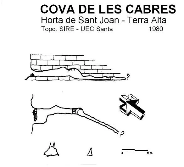
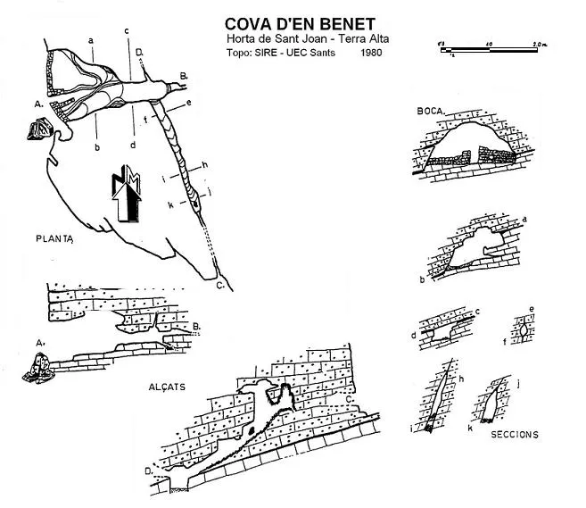
In 1980 they visited the cavity and made the only survey of which we are aware, and together with other small cavities in the surroundings they published them in their bulletin.
It should be said that it is a cave quite well known in the area, possibly more by hikers and curious visitors than by cavers. It seems that for a time the cavity was protected by a metal grille.
Addendum: We update the record again (May 2016) providing new data on the first exploration, thanks to the copy of a report that our friend Toni Inglés has provided us and that appeared in one of his “lost folders”.
The initials SEP correspond to the Secció d'Espeleologia Puigcastellar of the Centre Excursionista Puigcastellar (Santa Coloma de Gramenet), which during the year 1975 organised the campaign Operación Beceite – 75. They were taken to the cave by a former shepherd from Horta de Sant Joan whom they met at the village bar, his name: Domingo Grau, and to whom they dedicated the cave.
In the aforementioned report they only deal with this cave and we do not know whether they went on to explore more cavities in the area. The survey of the cavity also appears, and now (41 years later) we are pleased to include it as a first. According to their data the cavity had a passage length of 211 metres.
Commenti degli utenti (0)
Nessun commento ancora.
Sii il primo a condividere la tua esperienza!
Esplorazioni registrate (0)
Nessuna esplorazione registrata.
Registra la tua visita a questa grotta!
Bibliografia
- Estruel, Miquel (1990).- Ruta per conèixer la Terra Alta (Excursions – Escalada – Espeleologia). Vol. II: 119 pp. Centre Excursionista de Gandesa.
- SIRE-UEC Sants (1981).- “Contribución al catálogo espeleológico de Tarragona – Horta de Sant Joan, Terra Alta” Boletín de Informacion SIRE (6): 62-79 (3ª época). SIRE – Unió Excursionista de Catalunya – Sants. Barcelona.
- Revisió de coordenades i d'aproximació (abril 2016), facilitades per Joan Pallisé (Montblanc)
- Memòria inèdita de la SE Puigcastellar (Santa Coloma de Gramenet) de l'any 1975 facilitada per Toni Inglès (ERE – CEC)
Grotte vicine
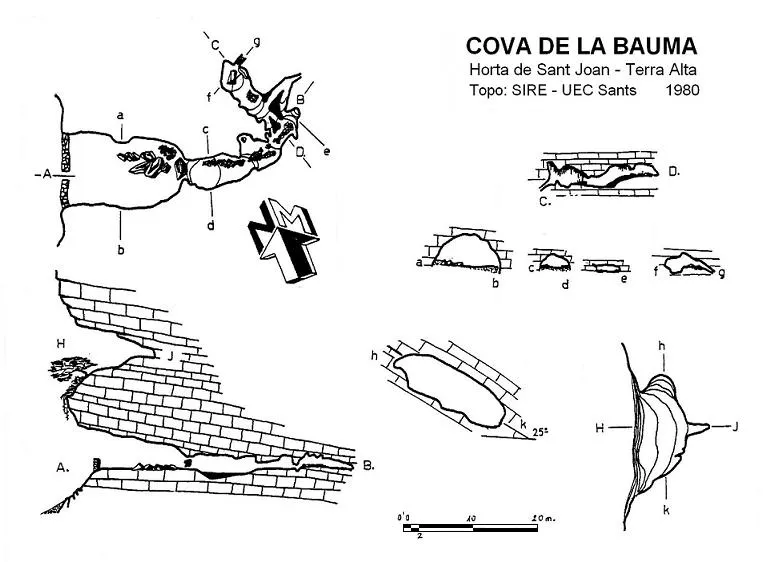
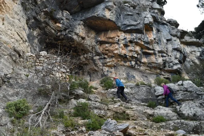


Fonte: Espeleoindex (espeleoindex.com), modificato. CC BY-NC 4.0, https://creativecommons.org/licenses/by-nc/4.0/