

Cigalera de Comaviera
A 22 m deep pit in the municipality of Alt Àneu, on the right-hand slope of the ravine where EA.1, EA.2 and EA.3 are located, further to the SE and on the upper part of the ridge that leads towards the summit of Campaus.
EspeleoWorld
Cigalera de Comaviera
A 22 m deep pit in the municipality of Alt Àneu, on the right-hand slope of the ravine where EA.1, EA.2 and EA.3 are located, further to the SE and on the upper part of the ridge that leads towards the summit of Campaus.
Alt Àneu · Pallars Sobirà
Sviluppo: 36 m · Profondità: 22 m
Scheda aggiornata
https://espeleoworld.com/it/c/cigalera-de-comaviera
Le informazioni possono cambiare. Verifica sempre coordinate, accesso, meteo e condizioni della cavità prima di partire.
A 22 m deep pit in the municipality of Alt Àneu, on the right-hand slope of the ravine where EA.1, EA.2 and EA.3 are located, further to the SE and on the upper part of the ridge that leads towards the summit of Campaus.
Topografia


Espeleoindex · CC BY-NC 4.0, https://creativecommons.org/licenses/by-nc/4.0/ · Immagine © del suo autore.
Foto

Espeleoindex · CC BY-NC 4.0, https://creativecommons.org/licenses/by-nc/4.0/ · Immagine © del suo autore.
Descrizione
Morfologia
Pit 22 m deep. Large entrance about 8 to 10 metres in diameter at the surface, which narrows until it opens into a 10-metre shaft.
Progressione
The base of the shaft is almost entirely occupied by a snow deposit. A passage between the ice and the wall allows descent down a ramp that, in little more than a dozen metres, closes among small-sized debris.
Storia
Discovered and explored in August 1977 during the first campaign of the Société Spéléologique du Plantaurel.
Toponymy: According to the map, the sector where the pit is located is cited as: Comaviera, Coma Viera or Comabiera.
Commenti degli utenti (0)
Nessun commento ancora.
Sii il primo a condividere la tua esperienza!
Esplorazioni registrate (0)
Nessuna esplorazione registrata.
Registra la tua visita a questa grotta!
Bibliografia
Géraud, Ph. (1978).-'Reconnaissance spéléologique du massif de Roca Blanca (Province de Lérida-Espagne)' L'Echo des Ténèbres (2): 4-6; S.S. Plantaurel
Valles, Jordi de (2008).-'Alta Ribagorça, Pallars Jussà, Pallars Sobirà i Val d'Aran'. Catàleg Espeleològic de Catalunya (vol.1):1-319. EC Gràcia / FCE.
Dades i Fotografies facilitades per Joan Pallisé, juny de 2026.
Grotte vicine
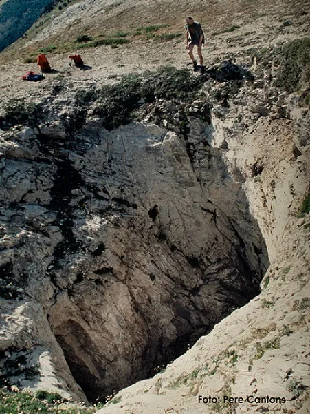
Cigalera de l'Obaga de Baleran
0.1 km · N
Alt Àneu (Pallars Sobirà)
5 topo.12 foto
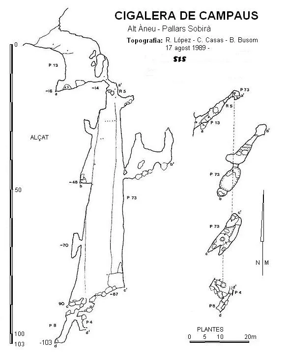
Cigalera de Campaus
0.2 km · S
Alt Àneu (Pallars Sobirà)
1 topo.

Avenc Ea.8 d'Escala Alta
0.2 km · NE
Alt Àneu (Pallars Sobirà)
1 topo.2 foto
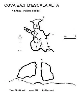
Cova Ea.3 d'Escala Alta
0.3 km · NO
Alt Àneu (Pallars Sobirà)
1 topo.
Fonte: Espeleoindex (espeleoindex.com), modificato. CC BY-NC 4.0, https://creativecommons.org/licenses/by-nc/4.0/