

Avenc Ea.8 d'Escala Alta
A cavity on a steep slope in the municipality of Alt Àneu that descends 17 m of elevation drop.
EspeleoWorld
Avenc Ea.8 d'Escala Alta
A cavity on a steep slope in the municipality of Alt Àneu that descends 17 m of elevation drop.
Alt Àneu · Pallars Sobirà
Sviluppo: 40 m · Profondità: 17 m
Scheda aggiornata
https://espeleoworld.com/it/c/avenc-ea-8-d-escala-alta
Le informazioni possono cambiare. Verifica sempre coordinate, accesso, meteo e condizioni della cavità prima di partire.
A cavity on a steep slope in the municipality of Alt Àneu that descends 17 m of elevation drop.
Topografia


Espeleoindex · CC BY-NC 4.0, https://creativecommons.org/licenses/by-nc/4.0/ · Immagine © del suo autore.
Foto

Espeleoindex · CC BY-NC 4.0, https://creativecommons.org/licenses/by-nc/4.0/ · Immagine © del suo autore.
Descrizione
Morfologia
The entrance, 3x3 metres, leads by a very steep drop to a chamber 30 metres long by about 12 metres wide on average and, on a gentle slope between blocks and gravel, reaches its lowest point, where a 2-metre drop attains the point of maximum elevation drop at -17.5 metres. In this final stretch three chimneys begin that appear to be able to climb up to very close to the surface.
Storia
Discovered and explored by the SS Plantaurel on 14 August 1979.
Commenti degli utenti (0)
Nessun commento ancora.
Sii il primo a condividere la tua esperienza!
Esplorazioni registrate (0)
Nessuna esplorazione registrata.
Registra la tua visita a questa grotta!
Bibliografia
Géraud, Ph. (1979).-'Roca Blanca 1979' L'Echo des Ténèbres (5):33-45, SS Plantaurel.
Valles, Jordi de (2008).-'Alta Ribagorça, Pallars Jussà, Pallars Sobirà i Val d'Aran'. Catàleg Espeleològic de Catalunya (vol.1):1-319. EC Gràcia / FCE.
Coordenades, dades i Fotografies facilitades per Joan Pallisé, juny de 2026.
Grotte vicine
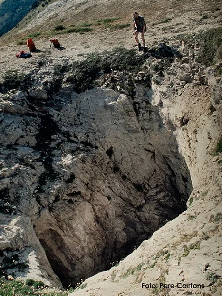
Cigalera de l'Obaga de Baleran
0.2 km · O
Alt Àneu (Pallars Sobirà)
5 topo.12 foto

Cigalera de Comaviera
0.2 km · SO
Alt Àneu (Pallars Sobirà)
1 topo.1 foto
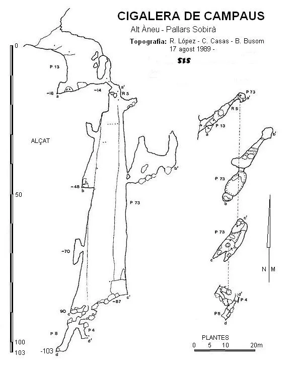
Cigalera de Campaus
0.3 km · SO
Alt Àneu (Pallars Sobirà)
1 topo.
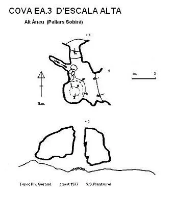
Cova Ea.3 d'Escala Alta
0.4 km · O
Alt Àneu (Pallars Sobirà)
1 topo.
Fonte: Espeleoindex (espeleoindex.com), modificato. CC BY-NC 4.0, https://creativecommons.org/licenses/by-nc/4.0/