
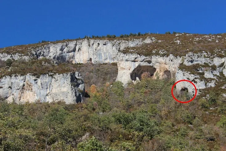
Balma Petita de la Cambra dels Bocs
A rock shelter in Gisclareny, with an entrance porch 12m wide and about 7m high, walls on a steep slope covered in flowstone. Long known in the area, it had never been catalogued speleologically.
EspeleoWorld
Balma Petita de la Cambra dels Bocs
A rock shelter in Gisclareny, with an entrance porch 12m wide and about 7m high, walls on a steep slope covered in flowstone. Long known in the area, it had never been catalogued speleologically.
Gisclareny · Berguedà
Sviluppo: 7 m · Profondità: 4 m
Scheda aggiornata
https://espeleoworld.com/it/c/balma-petita-de-la-cambra-dels-bocs
Le informazioni possono cambiare. Verifica sempre coordinate, accesso, meteo e condizioni della cavità prima di partire.
A rock shelter in Gisclareny, with an entrance porch 12m wide and about 7m high, walls on a steep slope covered in flowstone. Long known in the area, it had never been catalogued speleologically.
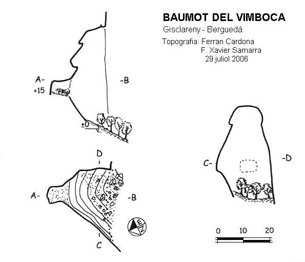
Topografia
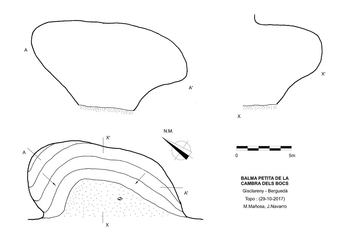
Espeleoindex · CC BY-NC 4.0, https://creativecommons.org/licenses/by-nc/4.0/ · Immagine © del suo autore.
Foto
Espeleoindex · CC BY-NC 4.0, https://creativecommons.org/licenses/by-nc/4.0/ · Immagine © del suo autore.
Descrizione
Morfologia
Rock shelter with a wide entrance porch 12m wide and about 7m high, structured for the most part by walls on a steep slope, leaving very little surface with relatively flat ground.
Concrezioni
The walls of the rock shelter are practically covered in flowstone on a steep slope, completely rounded and without edges.
Progressione
We will continue on foot along the same track, crossing the Monnell bridge and going up parallel to the river for a stretch of approximately 1 Km, we will leave the track to go up along the Torrent de Vimboca by a path for about 400m, we leave this path and take a somewhat more lost trail marked in blue, which branches off from the torrent in a W direction and passes by the side of the hermitage of Sant Romà d'Oreis in about 540m, the trail continues and within 500m the Cambra dels Bocs is already visible towards the north, at a greater height and at the other end of the channel, the trail continues and will pass to the other end of the channel in about 560m, at this point we leave the trail and head north through the forest, in a stretch of about 660m and a drop of about 300m.
Storia
Long known in the area, it had never been catalogued speleologically.
Commenti degli utenti (0)
Nessun commento ancora.
Sii il primo a condividere la tua esperienza!
Esplorazioni registrate (0)
Nessuna esplorazione registrata.
Registra la tua visita a questa grotta!
Bibliografia
- “La Cambra dels Bocs” (22-01-2017) de la WEB engarrista.com http://www.engarrista.com/node/859
- Coordenades, topografia, dades i fotos 'JNC' facilitades per Jordi Navarro i Montse Mañosa (Centre Excursionista de Castellar del Vallès).
Grotte vicine
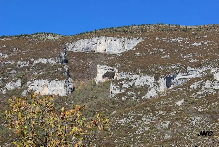
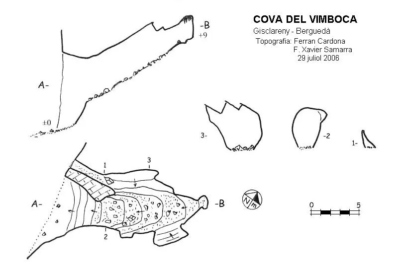


Fonte: Espeleoindex (espeleoindex.com), modificato. CC BY-NC 4.0, https://creativecommons.org/licenses/by-nc/4.0/