
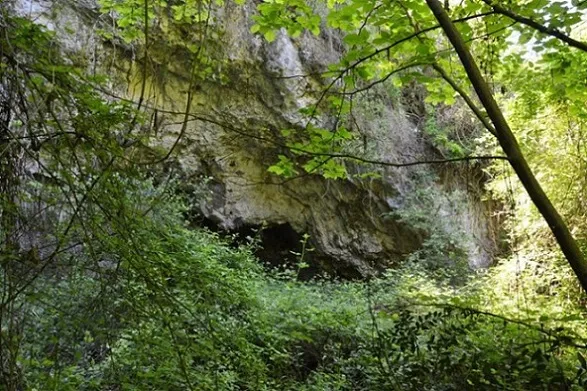
Balma del Noguer
Spacious rock shelter near Torrelletes, in Castellet i la Gornal.
EspeleoWorld
Balma del Noguer
Spacious rock shelter near Torrelletes, in Castellet i la Gornal.
Castellet i la Gornal · Alt Penedès
Sviluppo: 8 m · Profondità: 2 m
Scheda aggiornata
https://espeleoworld.com/it/c/balma-del-noguer
Le informazioni possono cambiare. Verifica sempre coordinate, accesso, meteo e condizioni della cavità prima di partire.
Spacious rock shelter near Torrelletes, in Castellet i la Gornal.
Topografia
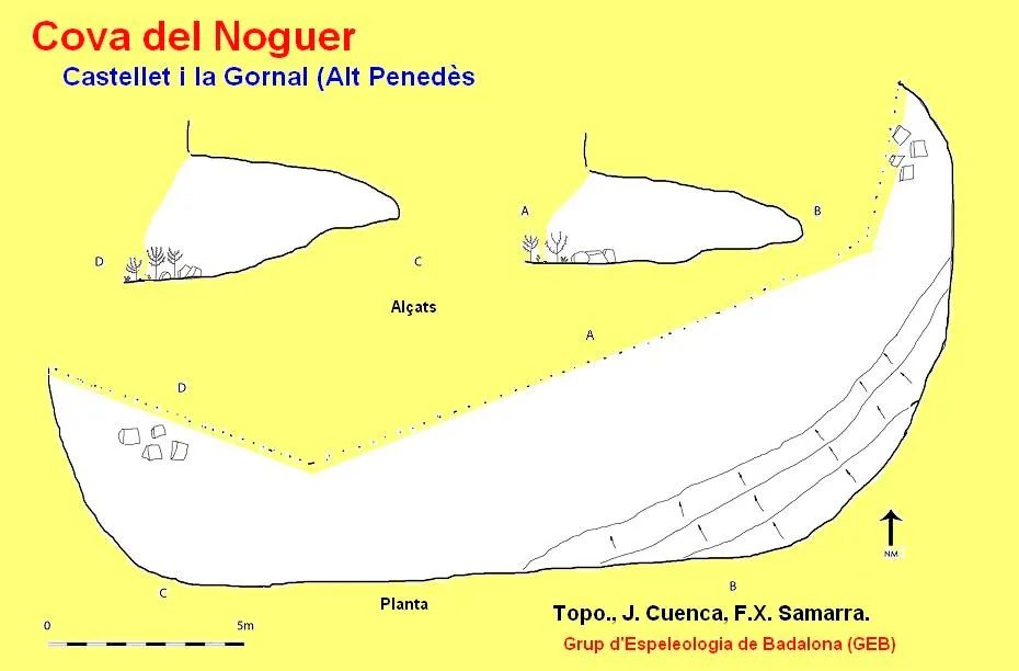

Espeleoindex · CC BY-NC 4.0, https://creativecommons.org/licenses/by-nc/4.0/ · Immagine © del suo autore.
Foto

Espeleoindex · CC BY-NC 4.0, https://creativecommons.org/licenses/by-nc/4.0/ · Immagine © del suo autore.
Descrizione
Morfologia
The maximum measurements of the rock shelter are 30 metres wide, by 8 metres deep and 6 metres high.
Idrologia
It seems that formerly, inside the rock shelter, there was a channel that conducted the water captured from the infiltrations of the ceiling to a small pool located outside.
Storia
Cavity known since time immemorial.
Commenti degli utenti (0)
Nessun commento ancora.
Sii il primo a condividere la tua esperienza!
Esplorazioni registrate (0)
Nessuna esplorazione registrata.
Registra la tua visita a questa grotta!
Bibliografia
- Aymamí, Gener (1997).- “Contribució al coneixement espeleològic de l'Alt Penedès (18ena. Nota).” Excursionisme (260): 254. Unió Excursionista de Catalunya. Barcelona.
- Altres dades, coordenades, topografia 2017 i fotografies extretes del web: geb.cat (del GE Badalona). Apunt del 6-6-2017. Dades: Ana Ruiz, Josep Cuenca i Xavier Samarra (GEB).
Grotte vicine
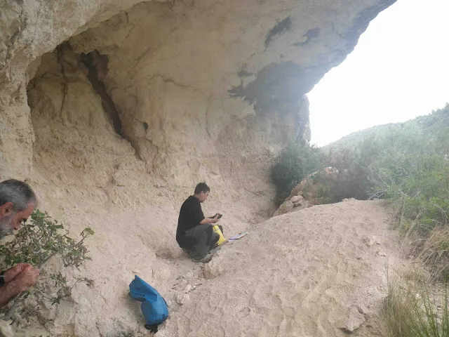
Cova d'en Muntaner
0.7 km · SO
Castellet i la Gornal (Alt Penedès)
1 topo.2 foto
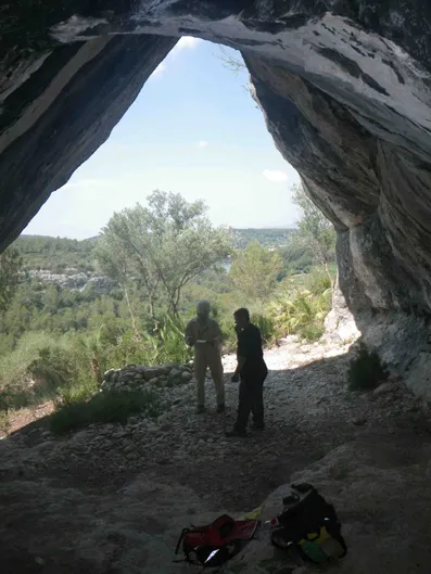
Cova Fosca
0.9 km · S
Castellet i la Gornal (Alt Penedès)
1 topo.2 foto
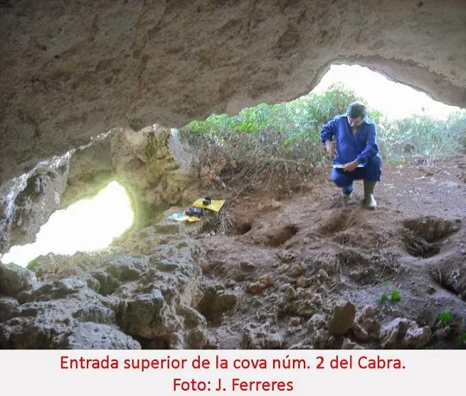
Cova Nº2 del Cabra
1.1 km · SO
Castellet i la Gornal (Alt Penedès)
1 topo.2 foto
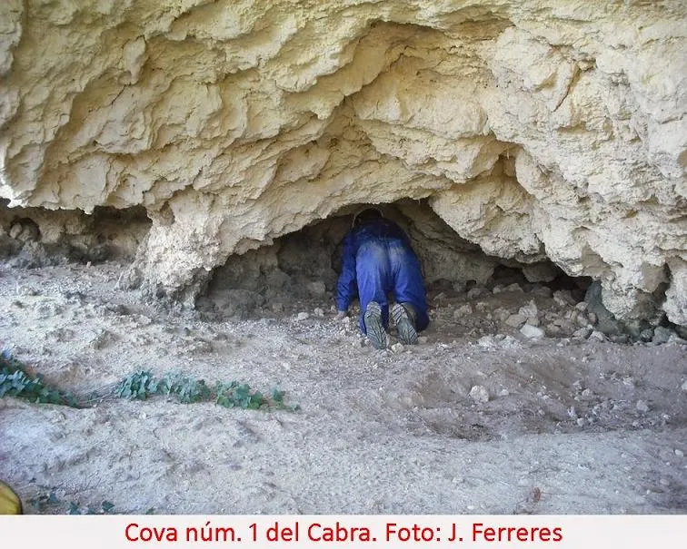
Cova Nº1 del Cabra
1.1 km · SO
Castellet i la Gornal (Alt Penedès)
2 topo.1 foto
Fonte: Espeleoindex (espeleoindex.com), modificato. CC BY-NC 4.0, https://creativecommons.org/licenses/by-nc/4.0/