
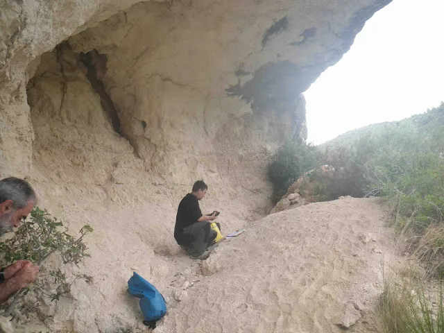
Cova d'en Muntaner
A 19 m-long rock shelter in Castellet i la Gornal, in Alt Penedès.
EspeleoWorld
Cova d'en Muntaner
A 19 m-long rock shelter in Castellet i la Gornal, in Alt Penedès.
Castellet i la Gornal · Alt Penedès
Sviluppo: 19 m · Profondità: 5 m
Scheda aggiornata
https://espeleoworld.com/it/c/cova-d-en-muntaner
Le informazioni possono cambiare. Verifica sempre coordinate, accesso, meteo e condizioni della cavità prima di partire.
A 19 m-long rock shelter in Castellet i la Gornal, in Alt Penedès.
Topografia
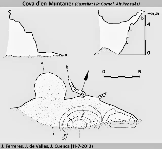

Espeleoindex · CC BY-NC 4.0, https://creativecommons.org/licenses/by-nc/4.0/ · Immagine © del suo autore.
Foto

Espeleoindex · CC BY-NC 4.0, https://creativecommons.org/licenses/by-nc/4.0/ · Immagine © del suo autore.
Descrizione
Morfologia
It is a rock shelter 17.5 metres wide, 5 metres deep and 4.5 metres high at its maximum. The centre of the rock shelter is occupied by a cone of sand resulting from the degradation of the rock. In the E part there are some large blocks, and in the W part a low, wide passage allows us to continue for about 5 m.
Progressione
In front of the cone there are two narrow crevices through which we can climb with difficulty for about 5 m.
Storia
Known since time immemorial.
Commenti degli utenti (0)
Nessun commento ancora.
Sii il primo a condividere la tua esperienza!
Esplorazioni registrate (0)
Nessuna esplorazione registrata.
Registra la tua visita a questa grotta!
Bibliografia
- Virella, J. (1978).- “Experiències a l'entorn de la localització d'estacions prehistòriques”. Miscel·lània Penedesenca (1): 241-269. Institut d'Estudis Penedesencs.
- Miñarro, JM. (1994).- Inventari Espeleològic de Catalunya. La Serralada Litoral. Vol. 3. Federació Catalana d'Espeleologia. Barcelona.
- Totes les dades, topografia i fotografies han estat extretes del blog: cavitatsdecatalunya.blogspot (de Jordi de Valles). Post del 10 de desembre del 2013. Fitxa Original de: Jaume Ferreres, Jordi de Valles (EC Gràcia), Josep Cuenca (GE Badalona).
Grotte vicine
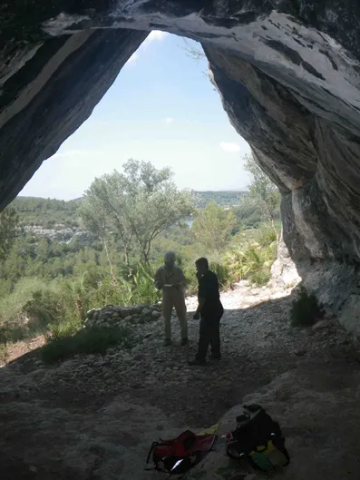
Cova Fosca
0.3 km · S
Castellet i la Gornal (Alt Penedès)
1 topo.2 foto
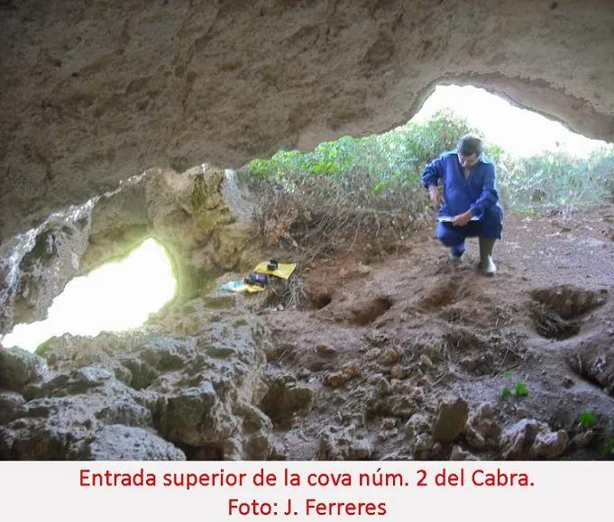
Cova Nº2 del Cabra
0.5 km · SO
Castellet i la Gornal (Alt Penedès)
1 topo.2 foto
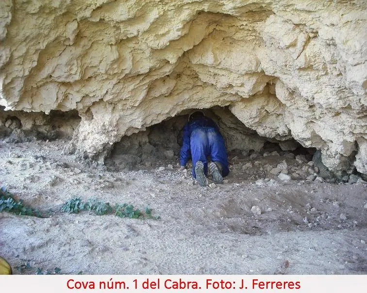
Cova Nº1 del Cabra
0.5 km · SO
Castellet i la Gornal (Alt Penedès)
2 topo.1 foto
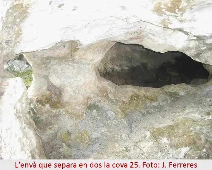
Cova Vint-i-cinc
0.5 km · SO
Castellet i la Gornal (Alt Penedès)
2 topo.1 foto
Fonte: Espeleoindex (espeleoindex.com), modificato. CC BY-NC 4.0, https://creativecommons.org/licenses/by-nc/4.0/