
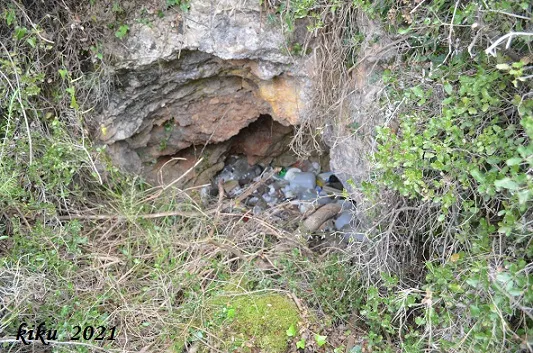
Avencó del Lledoner
Old sparry calcite working, known since ancient times and cited by N. Llopis in 1941, today full of rubbish and practically collapsed.
EspeleoWorld
Avencó del Lledoner
Old sparry calcite working, known since ancient times and cited by N. Llopis in 1941, today full of rubbish and practically collapsed.
Cervelló · Baix Llobregat
Sviluppo: 4 m · Profondità: 2 m
Scheda aggiornata
https://espeleoworld.com/it/c/avenco-del-lledoner
Le informazioni possono cambiare. Verifica sempre coordinate, accesso, meteo e condizioni della cavità prima di partire.
Old sparry calcite working, known since ancient times and cited by N. Llopis in 1941, today full of rubbish and practically collapsed.
Topografia
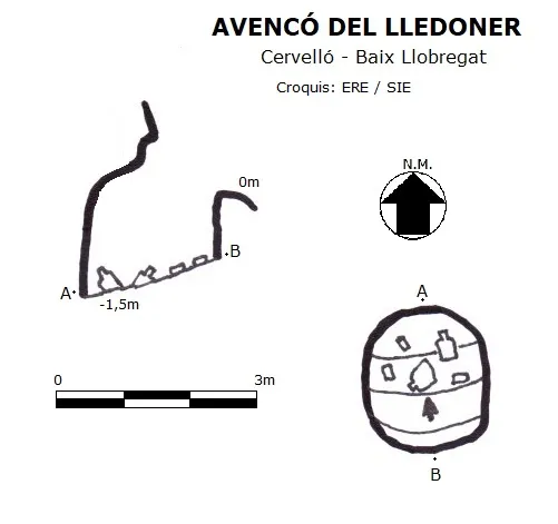
Espeleoindex · CC BY-NC 4.0, https://creativecommons.org/licenses/by-nc/4.0/ · Immagine © del suo autore.
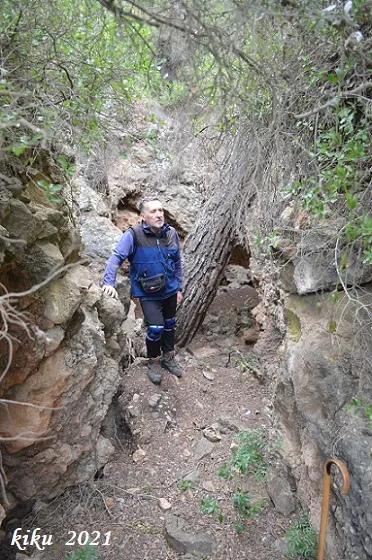
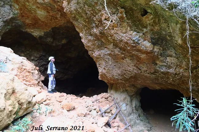
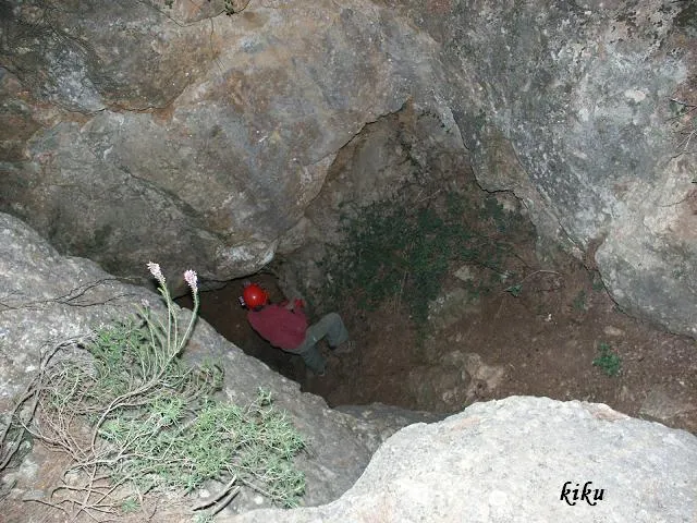
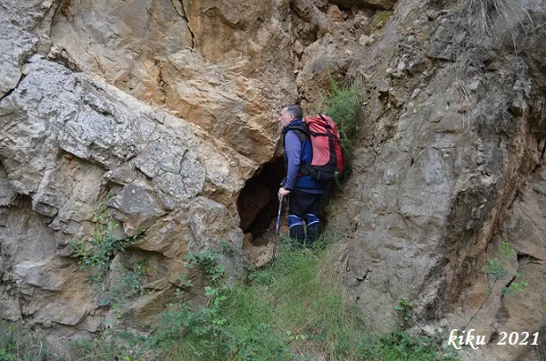
Foto
Espeleoindex · CC BY-NC 4.0, https://creativecommons.org/licenses/by-nc/4.0/ · Immagine © del suo autore.
Descrizione
Morfologia
Of the original 6 metres it had, at present only 1.5 metres is accessible.
Altri dettagli
At present the cavity is full of rubbish.
Storia
Known since ancient times and used as a sparry calcite working, it is already cited by N. Llopis in an article published in 1941; in this, and due to a typographical error, it is cited with a depth of -61 metres, when in reality it was 6 metres.
At the end of the 90s of the last century and the first years of this one, an equine facility (now dismantled) was installed only 5 metres from the cavity and which occupied the whole open area situated to the S of the cavity; unfortunately the proximity of the cavity to the aforementioned installation was used to throw all kinds of tools and rubbish, leaving the cavity practically collapsed.
Commenti degli utenti (0)
Nessun commento ancora.
Sii il primo a condividere la tua esperienza!
Esplorazioni registrate (0)
Nessuna esplorazione registrata.
Registra la tua visita a questa grotta!
Bibliografia
- Llopis Lladó, N. (1941).-”Morfologia e hidrología subterránea de la parte oriental del macizo cárstico de Garraf (Barcelona)”. Estudios Geográficos (4):413-466.
- Rubinat Aumedes, F. (1984). “Catàleg Espeleològic del Massís de Garraf. Unitat Septentrional. Sectors 9-11-13”. GOURS (10) : 19-73. GEFOMA. Barcelona.
- Rubinat Aumedes, F. (2004).-“Catàleg Espeleològic del Massís de l'Ordal”. Espeleosie (Monogràfic):1-117. SIE-CE Àliga. Barcelona.
- Valles, Jordi de (2017).-”Baix Llobregat”. Catàleg Espeleològic de Catalunya (Vol.6):1-468. EC Gràcia/FCE.
- Dades, coordenades i fotografies facilitades per Juli Serrano (SIE-CEA) i Francesc Rubinat (ERE-CEC), abril de 2021.
Grotte vicine


Fonte: Espeleoindex (espeleoindex.com), modificato. CC BY-NC 4.0, https://creativecommons.org/licenses/by-nc/4.0/