
Avencó de Coll Verdeguer
Old sparry calcite working, known since ancient times and cited by N. Llopis in 1941; the 2004 and 2017 catalogues wrongly list it as disappeared.
EspeleoWorld
Avencó de Coll Verdeguer
Old sparry calcite working, known since ancient times and cited by N. Llopis in 1941; the 2004 and 2017 catalogues wrongly list it as disappeared.
Cervelló · Baix Llobregat
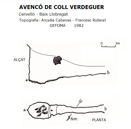
Sviluppo: 19 m · Profondità: 7 m
Scheda aggiornata
https://espeleoworld.com/it/c/avenco-de-coll-verdeguer
Le informazioni possono cambiare. Verifica sempre coordinate, accesso, meteo e condizioni della cavità prima di partire.
Old sparry calcite working, known since ancient times and cited by N. Llopis in 1941; the 2004 and 2017 catalogues wrongly list it as disappeared.
Topografia
Espeleoindex · CC BY-NC 4.0, https://creativecommons.org/licenses/by-nc/4.0/ · Immagine © del suo autore.
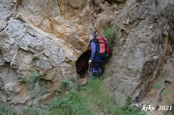
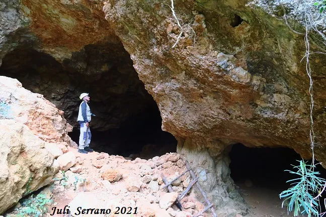
Foto
Espeleoindex · CC BY-NC 4.0, https://creativecommons.org/licenses/by-nc/4.0/ · Immagine © del suo autore.
Descrizione
Morfologia
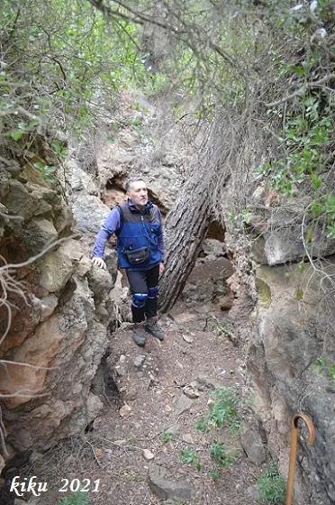
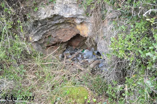
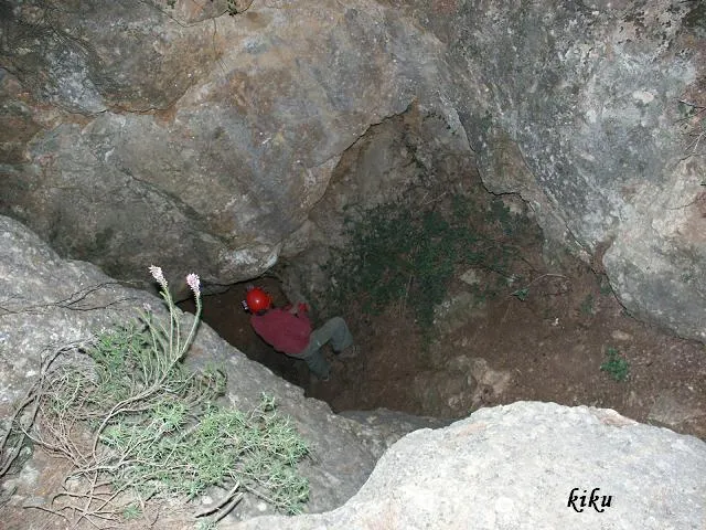
From the upper part it presents a shaft of about 7.5 metres, but it can be accessed from the lower part through a kind of trench obstructed by a large pine in the middle and which, passing under a rock bridge, leads us into the base of the shaft.
Progressione
From the upper part it presents a shaft of about 7.5 metres, but it can be accessed from the lower part through a kind of trench obstructed by a large pine in the middle and which, passing under a rock bridge, leads us into the base of the shaft.
Storia
Known since ancient times and used as a sparry calcite working, it is already cited by N. Llopis in an article published in 1941.
Both in the Catàleg Espeleològic del Massís de l'Ordal (2004) and in the Catàleg Espeleològic de Catalunya (vol.6-2017), the cavity is wrongly cited as disappeared.
Commenti degli utenti (0)
Nessun commento ancora.
Sii il primo a condividere la tua esperienza!
Esplorazioni registrate (0)
Nessuna esplorazione registrata.
Registra la tua visita a questa grotta!
Bibliografia
- Llopis Lladó, N. (1941).-”Morfologia e hidrología subterránea de la parte oriental del macizo cárstico de Garraf (Barcelona)”. Estudios Geográficos (4):413-466.
- Rubinat Aumedes, F. (1984). “Catàleg Espeleològic del Massís de Garraf. Unitat Septentrional. Sectors 9-11-13”. GOURS (10) : 19-73. GEFOMA. Barcelona.
- Rubinat Aumedes, F. (2004).-“Catàleg Espeleològic del Massís de l'Ordal”. Espeleosie (Monogràfic):1-117. SIE-CE Àliga. Barcelona.
- Valles, Jordi de (2017).-”Baix Llobregat”. Catàleg Espeleològic de Catalunya (Vol.6):1-468. EC Gràcia/FCE.
- Dades, coordenades i fotografies facilitades per Juli Serrano (SIE-CEA) i Francesc Rubinat (ERE-CEC), abril de 2021.
Grotte vicine


Fonte: Espeleoindex (espeleoindex.com), modificato. CC BY-NC 4.0, https://creativecommons.org/licenses/by-nc/4.0/