
Avenc dels Topògrafs
Avenc dels Topògrafs: a 45-metre-deep cavity in Olesa de Bonesvalls, with an entrance in an old sparry calcite working, concretion-covered galleries and a main shaft that reaches -45 m.
EspeleoWorld
Avenc dels Topògrafs
Avenc dels Topògrafs: a 45-metre-deep cavity in Olesa de Bonesvalls, with an entrance in an old sparry calcite working, concretion-covered galleries and a main shaft that reaches -45 m.
Olesa de Bonesvalls · Alt Penedès
Sviluppo: 131 m · Profondità: 45 m
Scheda aggiornata
https://espeleoworld.com/it/c/avenc-dels-topografs
Le informazioni possono cambiare. Verifica sempre coordinate, accesso, meteo e condizioni della cavità prima di partire.
Avenc dels Topògrafs: a 45-metre-deep cavity in Olesa de Bonesvalls, with an entrance in an old sparry calcite working, concretion-covered galleries and a main shaft that reaches -45 m.
Topografia
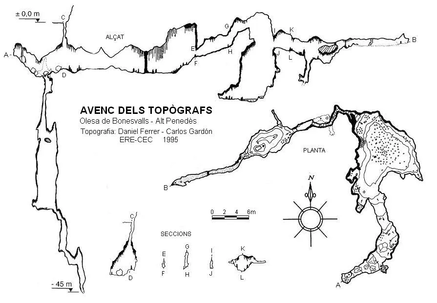

Espeleoindex · CC BY-NC 4.0, https://creativecommons.org/licenses/by-nc/4.0/ · Immagine © del suo autore.
Foto

Espeleoindex · CC BY-NC 4.0, https://creativecommons.org/licenses/by-nc/4.0/ · Immagine © del suo autore.
Descrizione
Morfologia
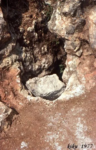
The small entrance of the pit opens in an old sparry calcite working. A shaft with a 0.3-metre-diameter conduit places us at the roof of the gallery. Once at the base, towards the S it leads to a small chamber with two columns and the access to the main shaft, which on descending places us at the deepest point of the pit, -45m. Towards the N, we come to the main chamber of the cavity; this is of medium dimensions and profusely covered in speleothems. Towards the W of the chamber we find a large cascade of flags, among which we find the passage that places us at the head of a shaft, at the bottom of which water can be found. Continuing through the window that hangs on the W side, we reach a pretty little room, and finally, the terminal gallery where sandy sediments predominate.
Concrezioni
The main chamber is profusely covered in speleothems. Towards the W of the chamber there is a large cascade of flags. The small chamber has two columns.
Idrologia
At the bottom of the shaft found at the head, after the large cascade of flags, water can be found.
Progressione
The small entrance of the pit opens in an old sparry calcite working. A shaft with a 0.3-metre-diameter conduit places us at the roof of the gallery. Once at the base, towards the S it leads to a small chamber with two columns and the access to the main shaft, which on descending places us at the deepest point of the pit, -45m. Towards the N, we come to the main chamber of the cavity. Towards the W of the chamber we find a large cascade of flags, among which we find the passage that places us at the head of a shaft. Continuing through the window that hangs on the W side, we reach a pretty little room, and finally, the terminal gallery.
Storia
The discovery and first exploration of the Avenc dels Topògrafs has always been an unknown. Joan Borràs (1980) notes that its discovery, following a dig, was carried out in 1966, without specifying who its first explorers were, who, on seeing the beauty of the cavity and in order to protect it, decided to block the small entrance again. Apparently, the pit was reopened years later, Borràs indicates in early 1977, but the first bibliographic reference we know of is a survey carried out by members of SIRE – UEC Sants on 7 September 1976, and they already found the entrance accessible. A few months later, in January 1977, it was also the subject of a new survey by members of the Grup Geogràfic de Gràcia, although these call it in the singular: Avenc del Topògraf.
It should be said that around 1975, in Barcelona speleological circles, a rumour circulated that a group of enthusiastic youths from the village of Ordal had found a series of pits in the area and that one of them was of great beauty. Were they the discoverers of the Avenc dels Topògrafs? And the name? Did the first explorers or the rediscoverers give it that name? Why dels Topògrafs? Perhaps to establish a certain parallel with the relatively nearby Avenc dels Geòlegs?
Can anyone resolve any of these unknowns for us?
Commenti degli utenti (0)
Nessun commento ancora.
Sii il primo a condividere la tua esperienza!
Esplorazioni registrate (0)
Nessuna esplorazione registrata.
Registra la tua visita a questa grotta!
Bibliografia
- Borràs, J. (1980).- “Nota sobre els Fondos del Lledoner i de l'Arcada”. Sota Terra (1): 13-21. GES – Club Muntanyenc Barcelonès.
- AA (1977).- “Avenc dels Topògrafs” Boletín de Información SIRE (1-2)(3ª època): 12 pp. s/numerar. SIRE – Unió Excursionista de Catalunya-Sants. Barcelona.
- Bascuñana,J.;Garriga,M.(1977).-”Avenc del Topògraf”. Exploracions (1):22-27. GGG. Barcelona.
- Gardón Carlos.(1996).-”l'Avenc dels Topògrafs”. Espeleòleg (41):9-11. ERE-CE Catalunya. Barcelona.
- Rubinat Aumedes, Francesc.(1988).-”Catàleg Espeleològic del massís de l'Ordal. Unitat Septentrional. Sector 12”. EspeleoSie (30):13-68. SIE-CE Àliga. Barcelona.
- Rubinat Aumedes, Francesc.(2004).-Catàleg Espeleològic del massís de l'Ordal (monogràfic):1-117. SIE-CE Àliga. Barcelona.
- Coordenades i fotografies “JNC” facilitades per Jordi Navarro del Centre Excursionista de Castellar del Vallès.
- Fitxa actualitzada abril de 2018. Topografia inèdita facilitada per Ferran Verges.
Grotte vicine
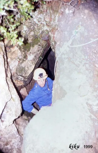
Avenc Font I Sagué
0.0 km · SE
Olesa de Bonesvalls (Alt Penedès)
2 topo.14 foto
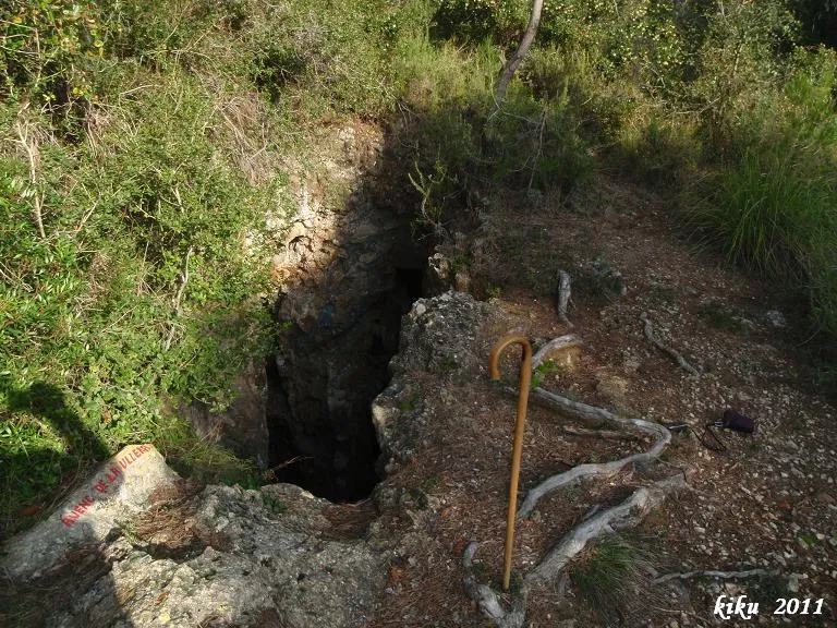
Avenc de la Ullera
0.2 km · N
Olesa de Bonesvalls (Alt Penedès)
2 topo.6 foto
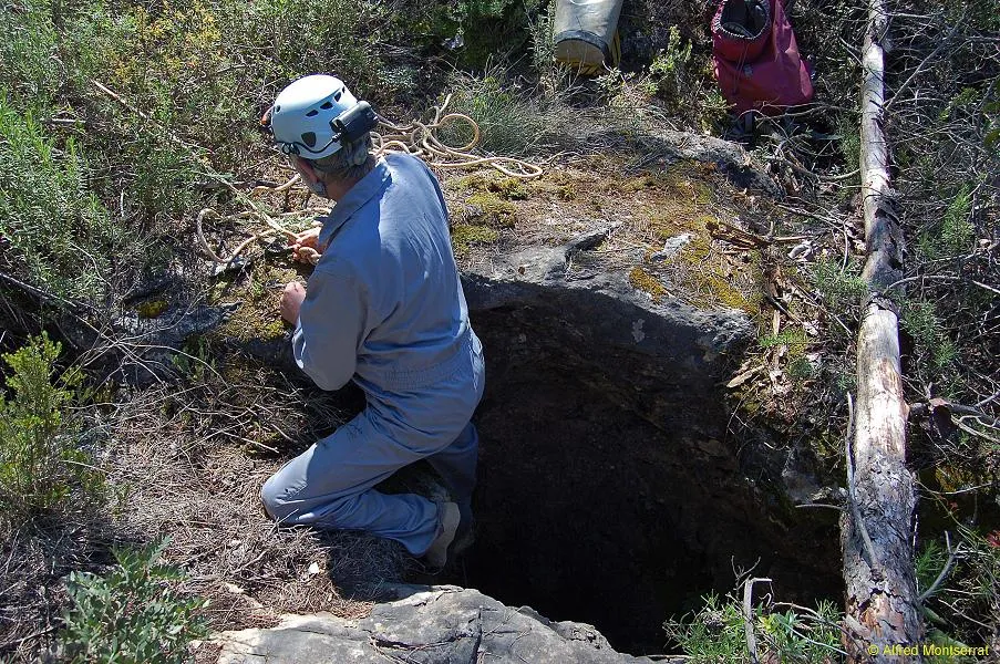
Avenc dels Caçadors
0.3 km · SE
Olesa de Bonesvalls (Alt Penedès)
1 topo.6 foto
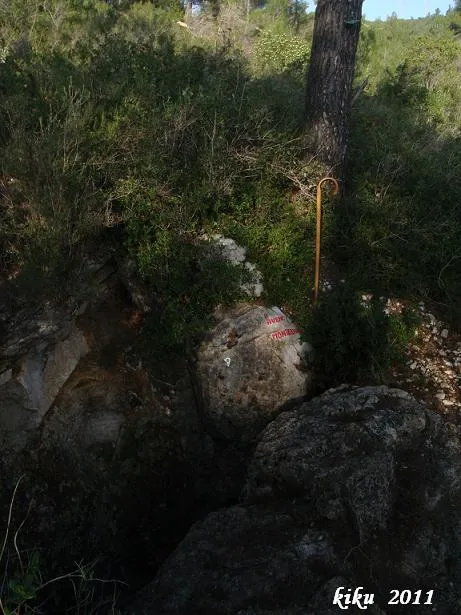
Avenc Montesinos
0.4 km · N
Olesa de Bonesvalls (Alt Penedès)
1 topo.7 foto
Fonte: Espeleoindex (espeleoindex.com), modificato. CC BY-NC 4.0, https://creativecommons.org/licenses/by-nc/4.0/