
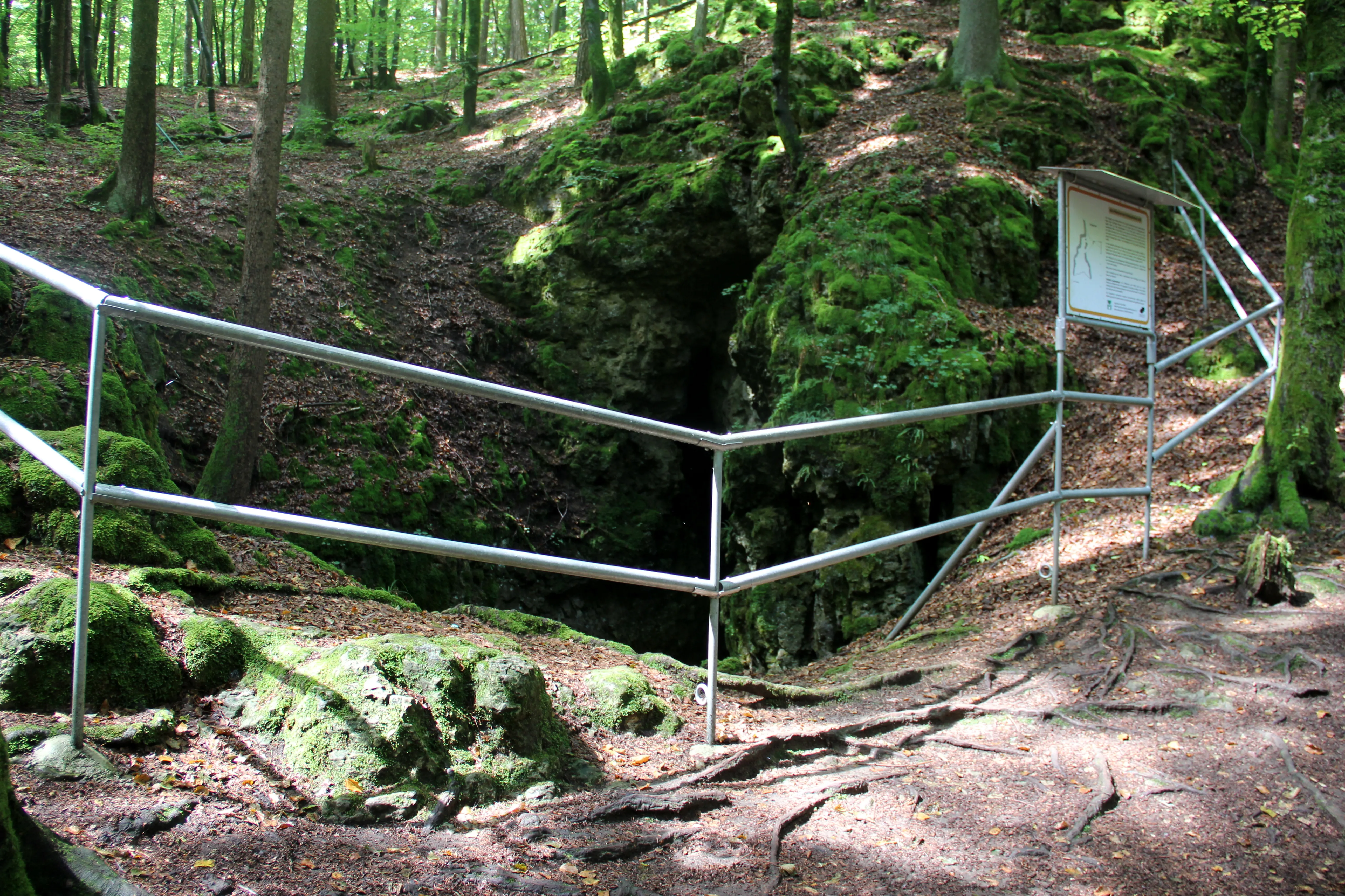
Windloch
The Windloch is a natural karst cave near Großmeinfeld in the Middle Franconian municipality of Hartenstein in the district of Nürnberger Land in Bavaria.
EspeleoWorld
Windloch
The Windloch is a natural karst cave near Großmeinfeld in the Middle Franconian municipality of Hartenstein in the district of Nürnberger Land in Bavaria.
Hartenstein
Longueur: 15 m
Fiche actualisée
https://espeleoworld.com/fr/c/windloch-hartenstein
Les informations peuvent changer. Vérifiez toujours les coordonnées, l'accès, la météo et l'état de la cavité avant de partir.
The Windloch is a natural karst cave near Großmeinfeld in the Middle Franconian municipality of Hartenstein in the district of Nürnberger Land in Bavaria.
Photos
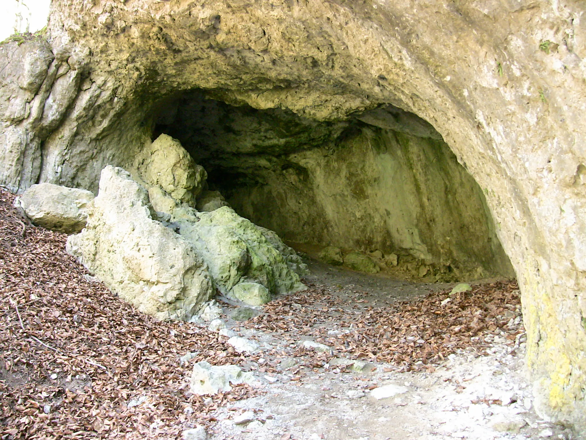
© Derzno · CC BY 3.0, https://creativecommons.org/licenses/by/3.0/ · Wikimedia Commons · https://commons.wikimedia.org/wiki/File:Windloch_(A5)_04.jpg
Description
Autres détails
It is listed in the Geotopkataster Bayern under the number 574H015. In the Höhlenkataster Fränkische Alb (HFA) it is registered as A 5. The cave is part of the FFH area Höhlen der nördlichen Frankenalb (6335-305).
Commentaires des utilisateurs (0)
Aucun commentaire pour le moment.
Soyez le premier à partager votre expérience !
Explorations enregistrées (0)
Aucune exploration enregistrée pour le moment.
Enregistrez votre visite dans cette cavité !
Grottes à proximité

Source : Geotopkataster Bayern (Bayerisches Landesamt für Umwelt) (www.umweltatlas.bayern.de), avec modifications. CC BY 4.0, https://creativecommons.org/licenses/by/4.0/ Datenquelle: Bayerisches Landesamt für Umwelt, www.lfu.bayern.de · https://www.umweltatlas.bayern.de/mapapps/resources/reports/sb_geotope/generateBericht.pdf?additionallayerfieldvalue=574H015 · données de 2026 · Source : Wikidata – cave items (Germany) (www.wikidata.org), avec modifications. CC0 1.0, https://creativecommons.org/publicdomain/zero/1.0/ Wikidata (CC0 1.0) · longueur · obtenu le 2026-11-13 · données de 2026 · Source : German Wikipedia – article leads (cave descriptions) (de.wikipedia.org), avec modifications. CC BY-SA 4.0, https://creativecommons.org/licenses/by-sa/4.0/ Wikipedia contributors (de.wikipedia.org), CC BY-SA 4.0 · Texte de Wikipedia contributors (Windloch (Großmeinfeld)) · adapté par Espeleoworld (normalisé, traduit) ; l'adaptation est sous licence CC BY-SA 4.0, https://creativecommons.org/licenses/by-sa/4.0/ · description · obtenu le 2026-11-13 · https://de.wikipedia.org/wiki/Windloch_(Gro%C3%9Fmeinfeld) · données de 2026