
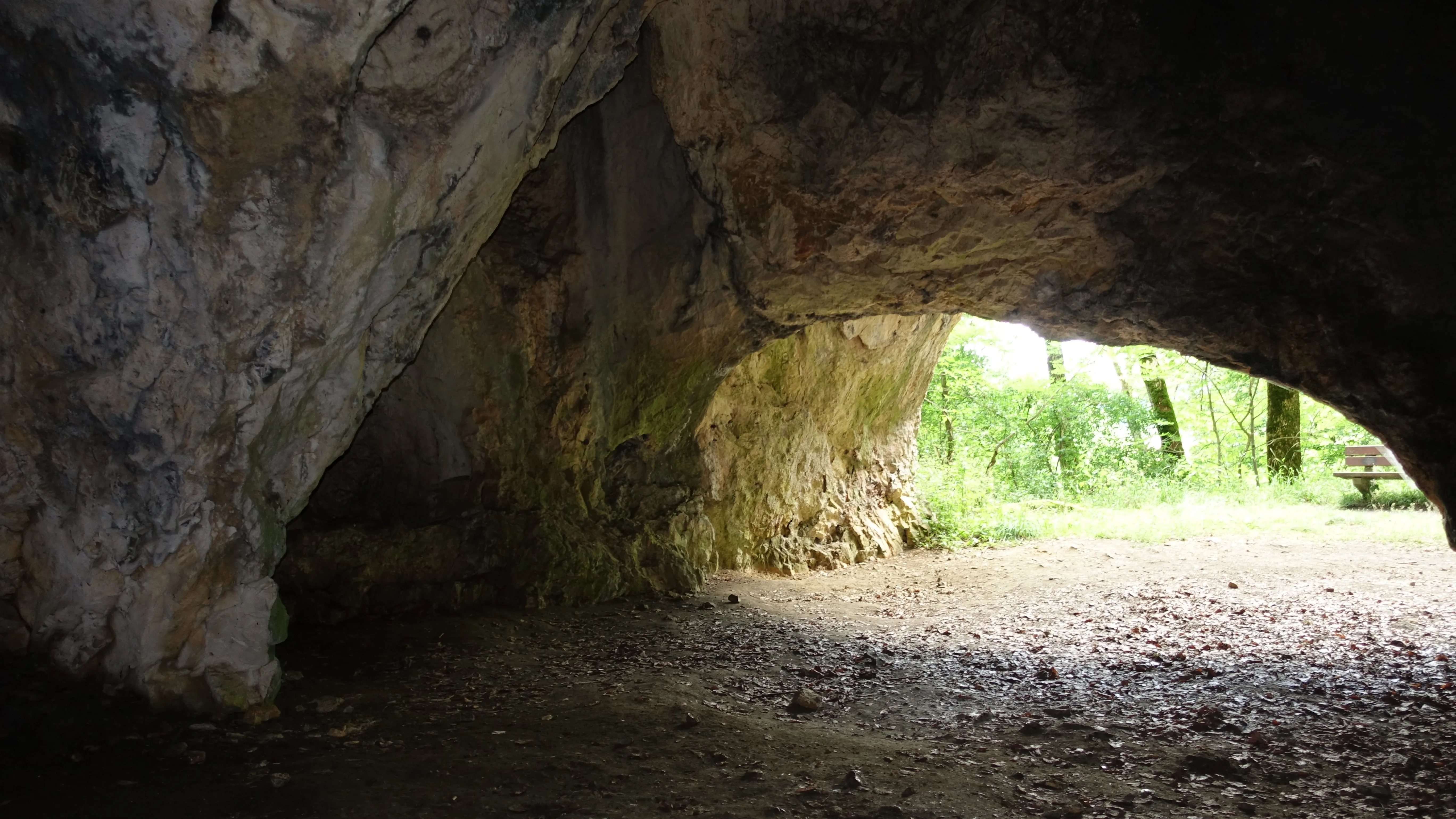
Sirgensteinhöhle
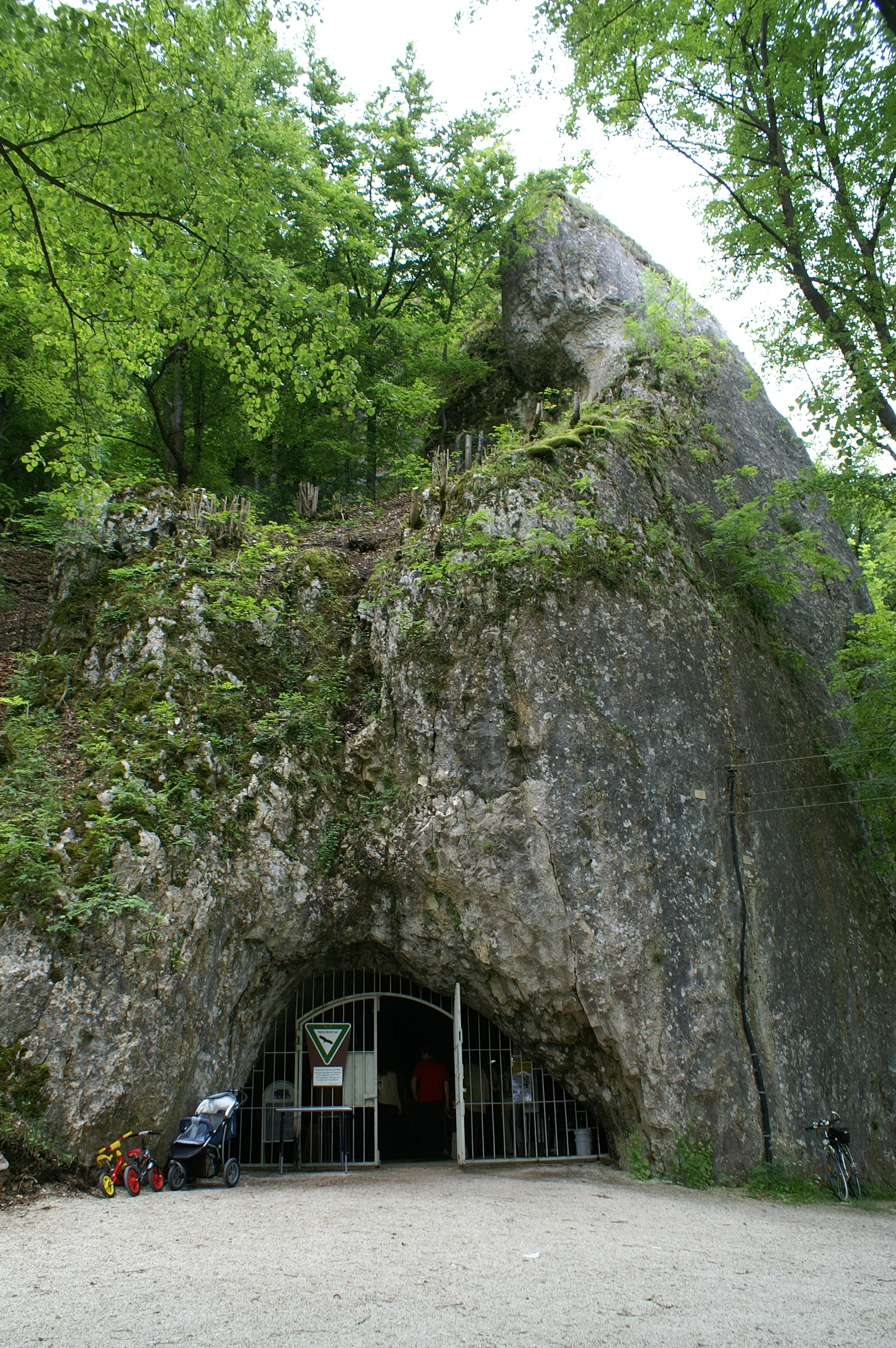
The Sirgenstein is a Stone Age dwelling site and a twenty-metre-high rock of the White Jura on the northwestern slope of the Ach valley.
EspeleoWorld
Sirgensteinhöhle
The Sirgenstein is a Stone Age dwelling site and a twenty-metre-high rock of the White Jura on the northwestern slope of the Ach valley.
Blaubeuren
Fiche actualisée
https://espeleoworld.com/fr/c/sirgensteinhoehle-blaubeuren
Les informations peuvent changer. Vérifiez toujours les coordonnées, l'accès, la météo et l'état de la cavité avant de partir.
The Sirgenstein is a Stone Age dwelling site and a twenty-metre-high rock of the White Jura on the northwestern slope of the Ach valley.
Photos
© Franzfoto · CC BY-SA 4.0, https://creativecommons.org/licenses/by-sa/4.0/ · Wikimedia Commons · https://commons.wikimedia.org/wiki/File:Schelklingen_-_Sirgensteinh%C3%B6hle_im_Achtal.JPG
Description
Morphologie
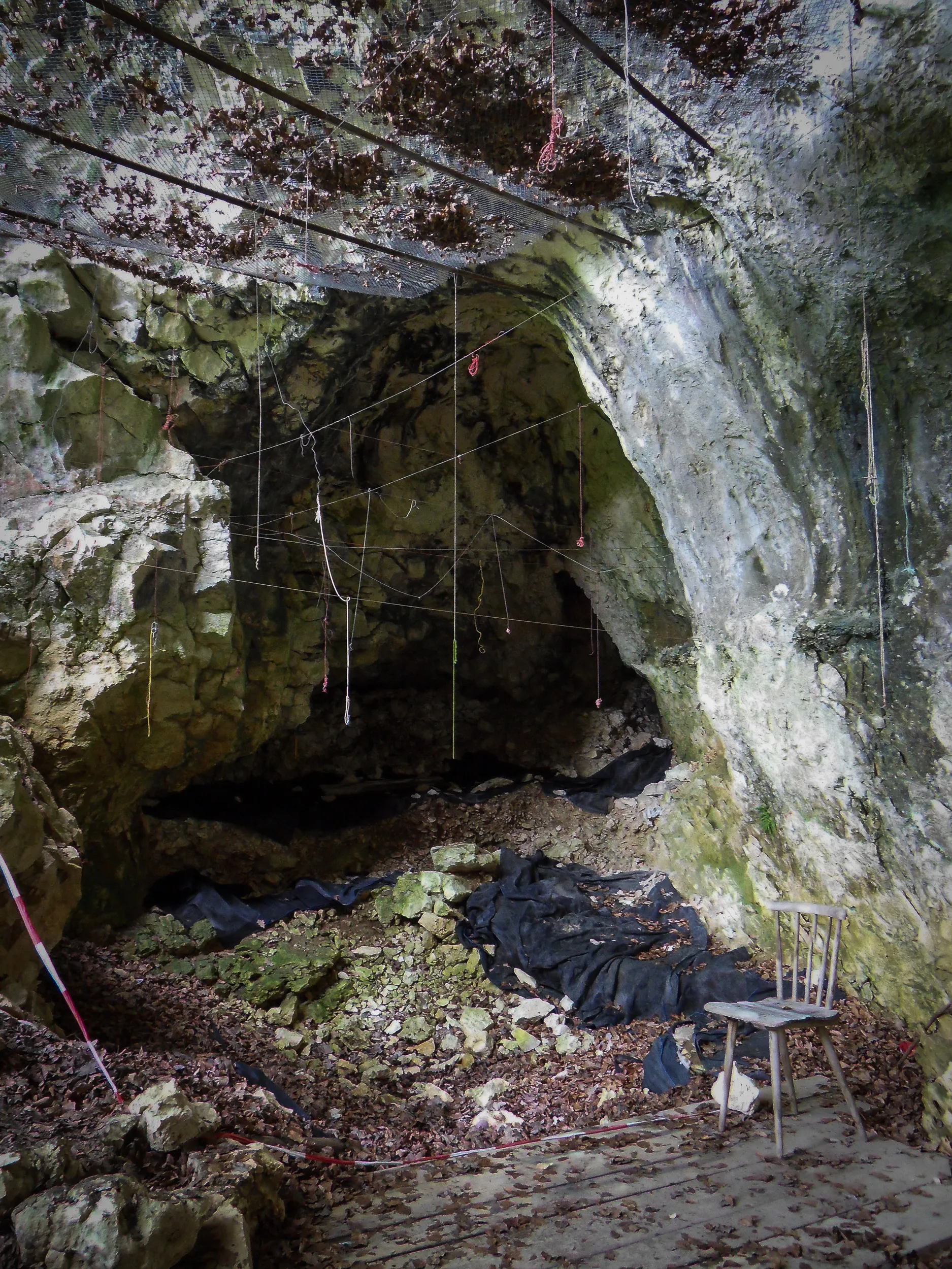
The Sirgenstein is a twenty-metre-high rock of the White Jura, situated at an elevation of 565 m above sea level. The karst cave is located in a sponge reef knoll roughly 35 metres above today's valley floor. The archaeological site is distinguished into the Sirgensteinhöhle, a Wohnhöhle (dwelling cave), as well as an abri on the south wall.
Autres détails
The Sirgenstein is a Stone Age dwelling site. The castle remnant Sirgenstein survives from the Middle Ages.
Histoire
In 2017 the Sirgensteinhöhle was inscribed into the UNESCO World Heritage as part of the World Heritage site Caves and Ice Age Art in the Swabian Jura.
Commentaires des utilisateurs (0)
Aucun commentaire pour le moment.
Soyez le premier à partager votre expérience !
Explorations enregistrées (0)
Aucune exploration enregistrée pour le moment.
Enregistrez votre visite dans cette cavité !
Grottes à proximité

Source : Geotopkataster Baden-Württemberg (Regierungspräsidium Freiburg – LGRB) (services.lgrb-bw.de), avec modifications. Data licence Germany – attribution – version 2.0 (dl-de/by-2-0), https://www.govdata.de/dl-de/by-2-0 Datenquelle: Regierungspräsidium Freiburg - LGRB, www.lgrb-bw.de · données de 2026 · Source : Wikidata – cave items (Germany) (www.wikidata.org), avec modifications. CC0 1.0, https://creativecommons.org/publicdomain/zero/1.0/ Wikidata (CC0 1.0) · noms · obtenu le 2026-11-13 · données de 2026 · Source : German Wikipedia – article leads (cave descriptions) (de.wikipedia.org), avec modifications. CC BY-SA 4.0, https://creativecommons.org/licenses/by-sa/4.0/ Wikipedia contributors (de.wikipedia.org), CC BY-SA 4.0 · Texte de Wikipedia contributors (Sirgensteinhöhle) · adapté par Espeleoworld (normalisé, traduit) ; l'adaptation est sous licence CC BY-SA 4.0, https://creativecommons.org/licenses/by-sa/4.0/ · description · obtenu le 2026-11-13 · https://de.wikipedia.org/wiki/Sirgensteinh%C3%B6hle · données de 2026