
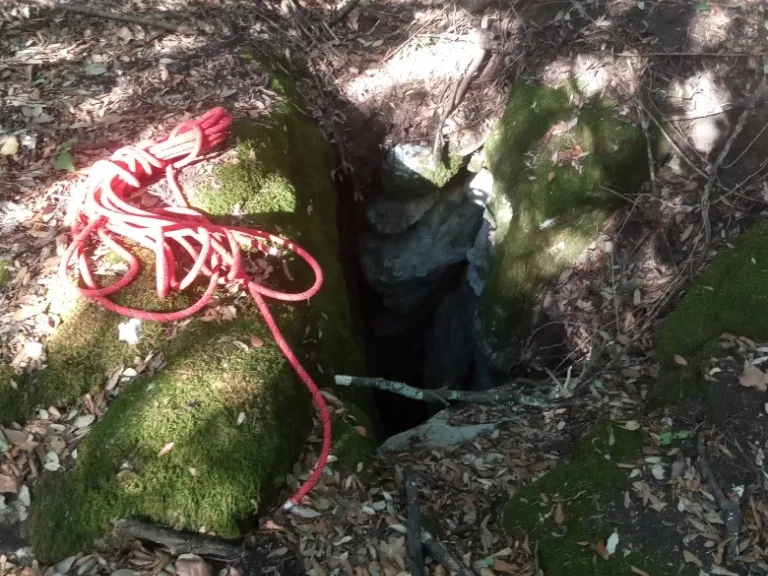
Pozzi della Piana Ingresso Dinamite
A ground-level hole near the slide entrance, with a predominantly horizontal trend and demanding traversability.
EspeleoWorld
Pozzi della Piana Ingresso Dinamite
A ground-level hole near the slide entrance, with a predominantly horizontal trend and demanding traversability.
Orvieto
Développement du réseau: 2555 m · Dénivelé du réseau: 21 m
Fiche actualisée
https://espeleoworld.com/fr/c/pozzi-della-piana-ingresso-dinamite-orvieto-terni
Les informations peuvent changer. Vérifiez toujours les coordonnées, l'accès, la météo et l'état de la cavité avant de partir.
A ground-level hole near the slide entrance, with a predominantly horizontal trend and demanding traversability.
Photos
© Mauro Barbieri · LicenseRef-FUGS-media-per-item · Federazione Umbra Gruppi Speleologici (FUGS), Catasto Speleologico dell'Umbria · https://catasto.fugs.it/index.php?mod=caves&op=view&id=873
Description
Morphologie
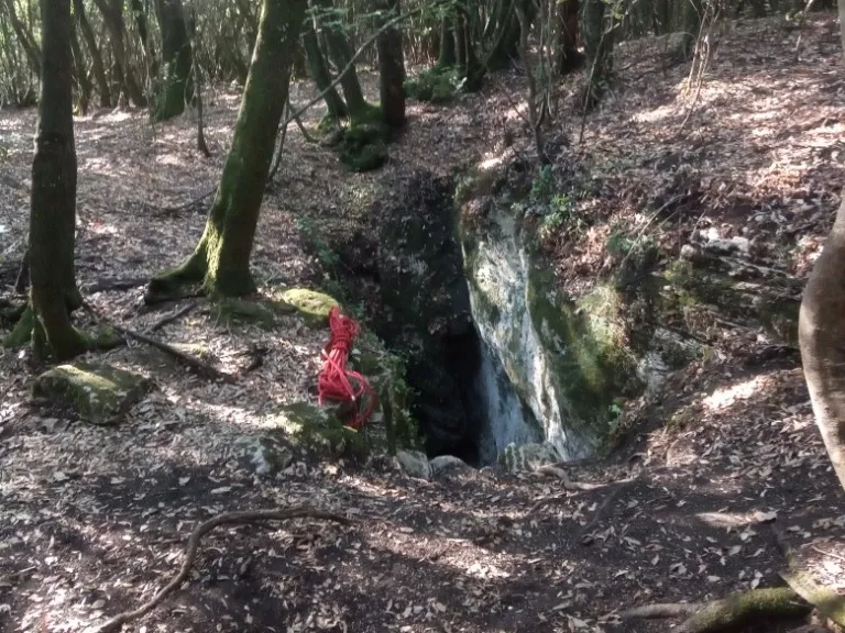
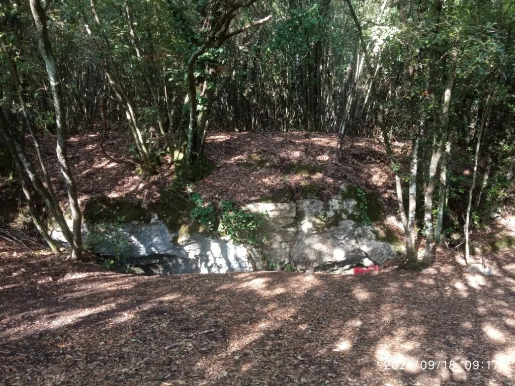
Ground-level hole in the vicinity of the slide entrance. On the rocks surrounding the entrance, the grooves produced by the small ladders used in the past for access can be seen.
Trend: Predominantly horizontal.
Progression
Traversability: Demanding; recommended period: All year. Rigging: Temporary. Hazards: Dangerous access.
Autres détails
Geology: TRA Carbonate and travertine deposits - Quaternary (Pleistocene - Holocene); Travertines; Obliterated.
Histoire
Finds: Archaeological, Palaeoethnological. Studies: Archaeological, Palaeoethnological, Anthropological.
Bio
Studies and monitoring: Biospeleological.
Commentaires des utilisateurs (0)
Aucun commentaire pour le moment.
Soyez le premier à partager votre expérience !
Explorations enregistrées (0)
Aucune exploration enregistrée pour le moment.
Enregistrez votre visite dans cette cavité !
Grottes à proximité

Source : Catasto Cavità Umbria (Federazione Umbra Gruppi Speleologici, FUGS) (catasto.fugs.it), avec modifications. LicenseRef-FUGS-no-licence-stated Federazione Umbra Gruppi Speleologici (FUGS), Catasto Speleologico dell'Umbria · https://catasto.fugs.it/index.php?mod=caves&op=view&id=873 · données de 2025 · Source : Catasto Cavità Umbria (Federazione Umbra Gruppi Speleologici, FUGS) (catasto.fugs.it), avec modifications. LicenseRef-FUGS-media-per-item Federazione Umbra Gruppi Speleologici (FUGS), Catasto Speleologico dell'Umbria · données de 2025