
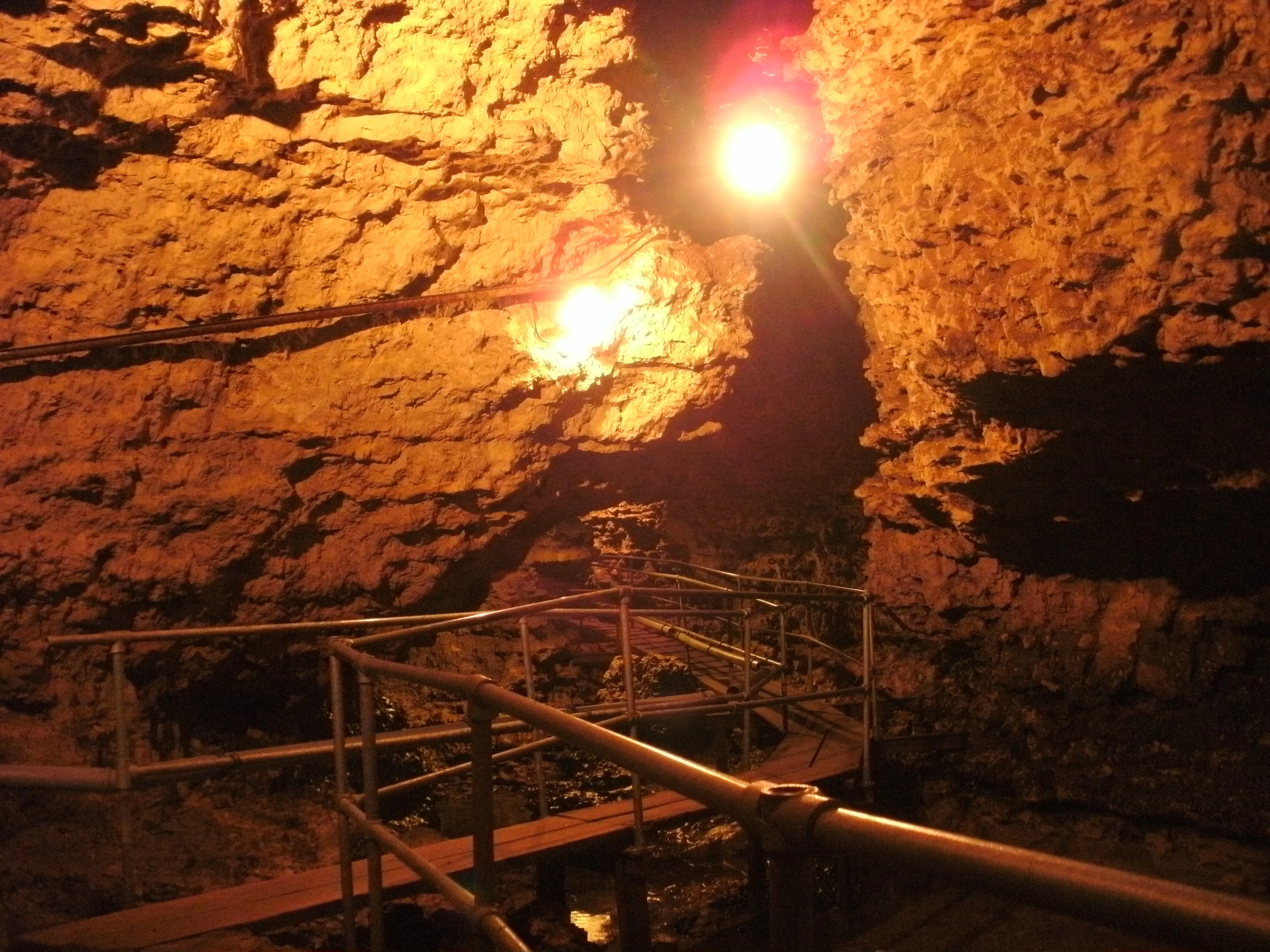
Karsthöhle Tschamberhöhle
The Tschamberhöhle is an active stream cave in the karstified Muschelkalk of the Dinkelberg with a total length of 1550 meters, of which 600 meters are open to the public.
EspeleoWorld
Karsthöhle Tschamberhöhle
The Tschamberhöhle is an active stream cave in the karstified Muschelkalk of the Dinkelberg with a total length of 1550 meters, of which 600 meters are open to the public.
Rheinfelden (Baden)
Fiche actualisée
https://espeleoworld.com/fr/c/karsthoehle-tschamberhoehle-rheinfelden-baden
Les informations peuvent changer. Vérifiez toujours les coordonnées, l'accès, la météo et l'état de la cavité avant de partir.
The Tschamberhöhle is an active stream cave in the karstified Muschelkalk of the Dinkelberg with a total length of 1550 meters, of which 600 meters are open to the public.
Photos

© Latschari · CC BY-SA 3.0, https://creativecommons.org/licenses/by-sa/3.0/ · Wikimedia Commons · https://commons.wikimedia.org/wiki/File:Tschamberh%C3%B6hle_01.jpg
Description
Morphologie
The cave lies in the karstified Muschelkalk of the Dinkelberg and has a total length of 1550 meters. The part open to the public is 600 meters.
Hydrologie
The cave is flowed through from north to south by a stream, a tributary of the Rhine. It therefore belongs to the category of active stream caves.
Autres détails
The Tschamberhöhle is one of three show caves in the Muschelkalk in Germany.
Commentaires des utilisateurs (0)
Aucun commentaire pour le moment.
Soyez le premier à partager votre expérience !
Explorations enregistrées (0)
Aucune exploration enregistrée pour le moment.
Enregistrez votre visite dans cette cavité !
Grottes à proximité
Source : Geotopkataster Baden-Württemberg (Regierungspräsidium Freiburg – LGRB) (services.lgrb-bw.de), avec modifications. Data licence Germany – attribution – version 2.0 (dl-de/by-2-0), https://www.govdata.de/dl-de/by-2-0 Datenquelle: Regierungspräsidium Freiburg - LGRB, www.lgrb-bw.de · données de 2026 · Contient des informations de © OpenStreetMap contributors, www.openstreetmap.org, mises à disposition sous la licence Open Database License (ODbL 1.0, https://opendatacommons.org/licenses/odbl/1-0/), avec modifications. · noms · obtenu le 2026-11-13 · https://www.openstreetmap.org/node/306029563 · données de 2026 · Source : Wikidata – cave items (Germany) (www.wikidata.org), avec modifications. CC0 1.0, https://creativecommons.org/publicdomain/zero/1.0/ Wikidata (CC0 1.0) · noms · obtenu le 2026-11-13 · données de 2026 · Source : German Wikipedia – article leads (cave descriptions) (de.wikipedia.org), avec modifications. CC BY-SA 4.0, https://creativecommons.org/licenses/by-sa/4.0/ Wikipedia contributors (de.wikipedia.org), CC BY-SA 4.0 · Texte de Wikipedia contributors (Tschamberhöhle) · adapté par Espeleoworld (normalisé, traduit) ; l'adaptation est sous licence CC BY-SA 4.0, https://creativecommons.org/licenses/by-sa/4.0/ · description · obtenu le 2026-11-13 · https://de.wikipedia.org/wiki/Tschamberh%C3%B6hle · données de 2026 · Les données dérivées sont disponibles sur demande sous l'ODbL : [email protected]