
Höhle am Hoeling
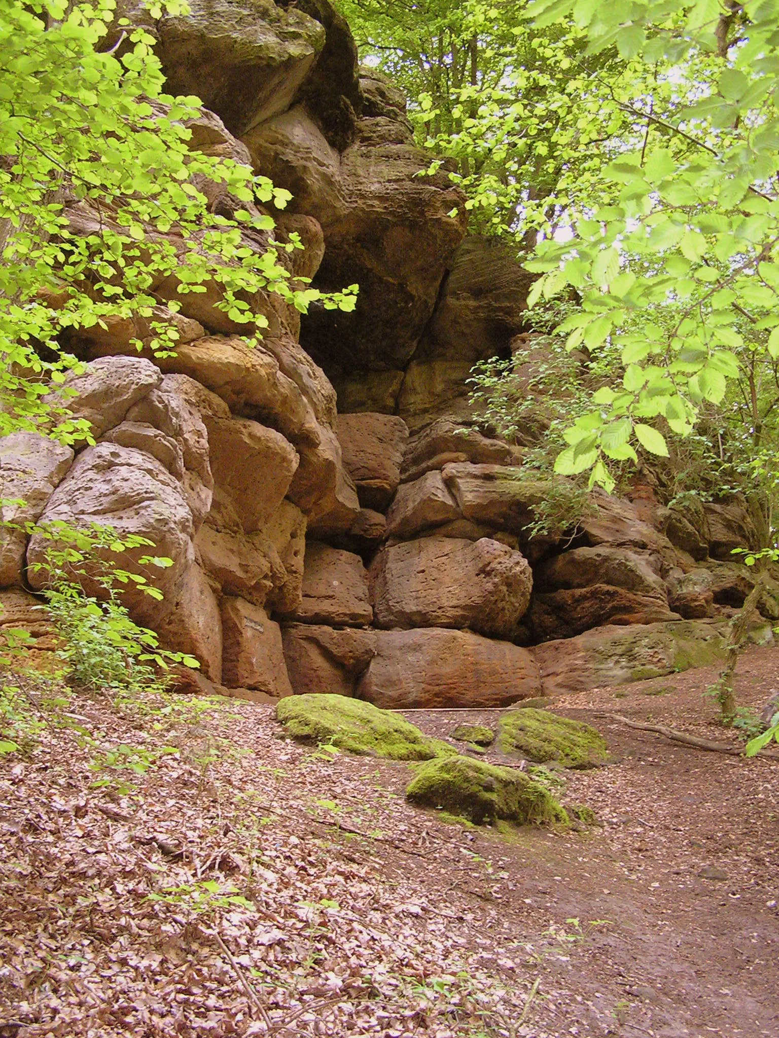
A cave about 15 m wide, 20 m deep and 10 -15 m high (hohe Höhle) is cut into the wall of an abandoned quarry at the southwest foot of the Hoeling mountain.
EspeleoWorld
Höhle am Hoeling
A cave about 15 m wide, 20 m deep and 10 -15 m high (hohe Höhle) is cut into the wall of an abandoned quarry at the southwest foot of the Hoeling mountain.
Marsberg
Fiche actualisée
https://espeleoworld.com/fr/c/hoehle-am-hoeling-marsberg
Les informations peuvent changer. Vérifiez toujours les coordonnées, l'accès, la météo et l'état de la cavité avant de partir.
A cave about 15 m wide, 20 m deep and 10 -15 m high (hohe Höhle) is cut into the wall of an abandoned quarry at the southwest foot of the Hoeling mountain.
Description
Morphologie
A large cave is cut into the approximately 200 m long, 25 m high quarry wall (dimensions about 15 m wide, 20 m deep, 10 -15 m high). On the floor of the cave lies a roughly 1.5 -2 m high mound of collapse material (ceiling collapse). The quarry is heavily overgrown in the eastern part, and overall slightly littered.
Autres détails
In the quarry and in the cave, bedded Zechstein limestones (Straßfurt sequence or z2) are exposed. The cave was fenced off (steel mats and barbed wire); the barrier has meanwhile been cut through several times. Fire pits and old sleeping bags bear witness to occasional overnight visitors. There are also several fire pits in the western part of the quarry.
Commentaires des utilisateurs (0)
Aucun commentaire pour le moment.
Soyez le premier à partager votre expérience !
Explorations enregistrées (0)
Aucune exploration enregistrée pour le moment.
Enregistrez votre visite dans cette cavité !
Grottes à proximité

Source : Geotopkataster Nordrhein-Westfalen (Geologischer Dienst NRW) (ogc-api.nrw.de), avec modifications. Data licence Germany – attribution – version 2.0 (dl-de/by-2-0), https://www.govdata.de/dl-de/by-2-0 Geowissenschaftliche Daten: INSP-GeotopeinNRW @ Geologischer Dienst NRW · données de 2026