
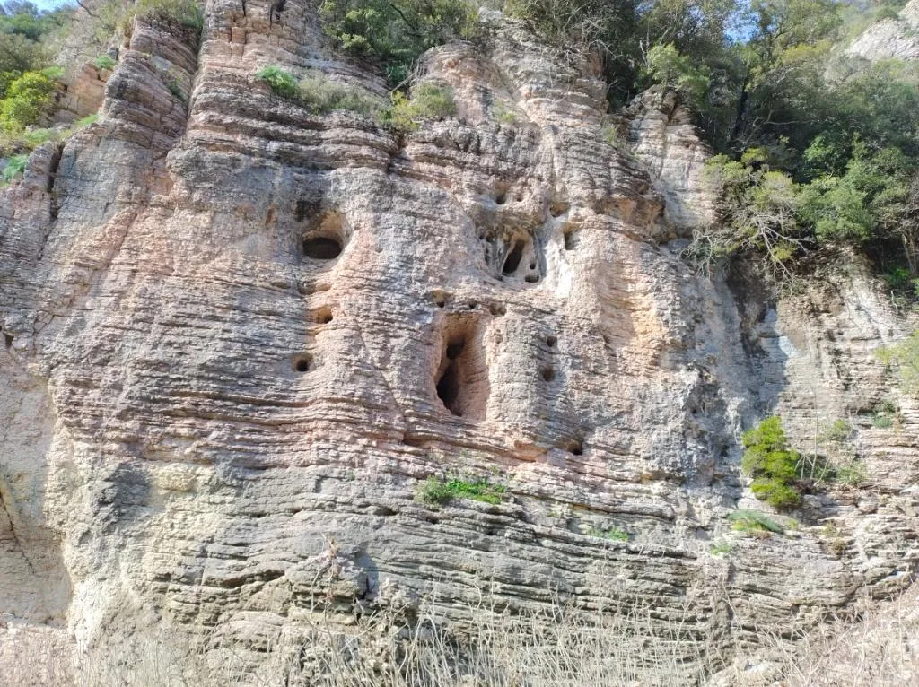
Grotta del Passo della Fede
Cavity with a horizontal passage about 9 metres in extent that ends by narrowing, with possible continuations by digging.
EspeleoWorld
Grotta del Passo della Fede
Cavity with a horizontal passage about 9 metres in extent that ends by narrowing, with possible continuations by digging.
Orvieto
Longueur: 9 m · Profondeur: 2 m
Fiche actualisée
https://espeleoworld.com/fr/c/grotta-del-passo-della-fede-orvieto-terni
Les informations peuvent changer. Vérifiez toujours les coordonnées, l'accès, la météo et l'état de la cavité avant de partir.
Cavity with a horizontal passage about 9 metres in extent that ends by narrowing, with possible continuations by digging.
Topographiques
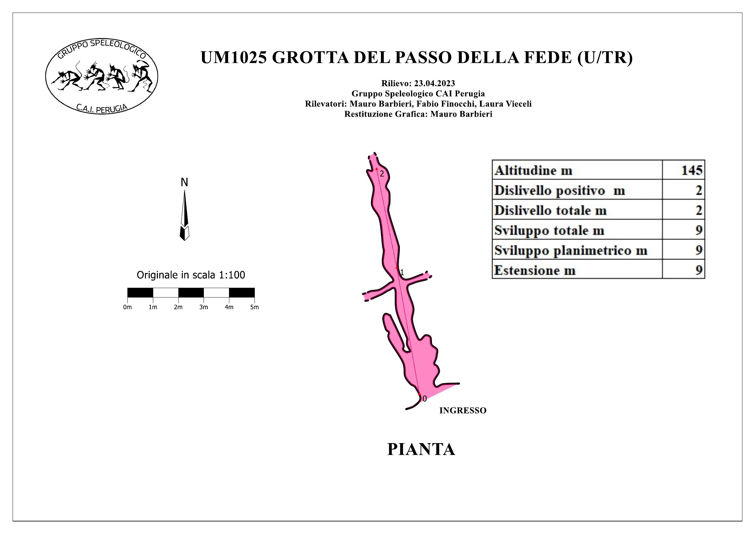
© Mauro Barbieri · CC BY-SA 4.0, https://creativecommons.org/licenses/by-sa/4.0/ · Federazione Umbra Gruppi Speleologici (FUGS), Catasto Speleologico dell'Umbria · https://catasto.fugs.it/index.php?mod=caves&op=view&id=1025
Photos
© Mauro Barbieri · LicenseRef-FUGS-media-per-item · Federazione Umbra Gruppi Speleologici (FUGS), Catasto Speleologico dell'Umbria · https://catasto.fugs.it/index.php?mod=caves&op=view&id=1025
Description
Morphologie
Horizontal passage about 9 metres in extent that closes by narrowing, with possible continuations by digging.
Trend: horizontal.
Hydrologie
Water difficulties: watercourses.
Progression
Traversability: demanding; recommended period all year round.
Hazards: dangerous access, landslides/rockfalls, floods/inundations.
Autres détails
Geology: SAA Scaglia Rossa - Upper Cretaceous-Middle Eocene (Turonian-Lutetian); stratified micritic limestones; stratified; subhorizontal.
Commentaires des utilisateurs (0)
Aucun commentaire pour le moment.
Soyez le premier à partager votre expérience !
Explorations enregistrées (0)
Aucune exploration enregistrée pour le moment.
Enregistrez votre visite dans cette cavité !
Grottes à proximité
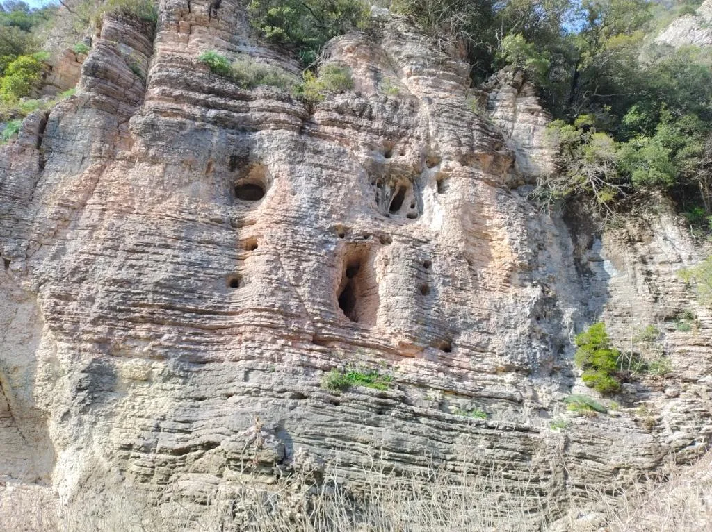
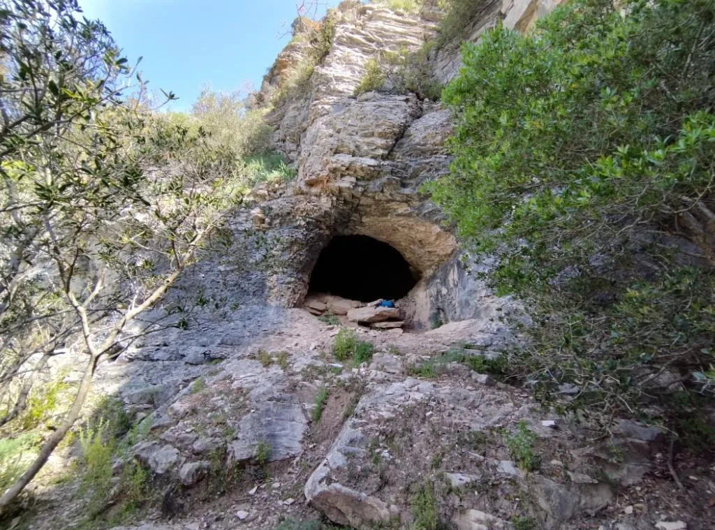


Source : Catasto Cavità Umbria (Federazione Umbra Gruppi Speleologici, FUGS) (catasto.fugs.it), avec modifications. LicenseRef-FUGS-no-licence-stated Federazione Umbra Gruppi Speleologici (FUGS), Catasto Speleologico dell'Umbria · https://catasto.fugs.it/index.php?mod=caves&op=view&id=1025 · données de 2025 · Source : Catasto Cavità Umbria (Federazione Umbra Gruppi Speleologici, FUGS) (catasto.fugs.it), avec modifications. LicenseRef-FUGS-media-per-item Federazione Umbra Gruppi Speleologici (FUGS), Catasto Speleologico dell'Umbria · données de 2025