
Foto - Pumperloch
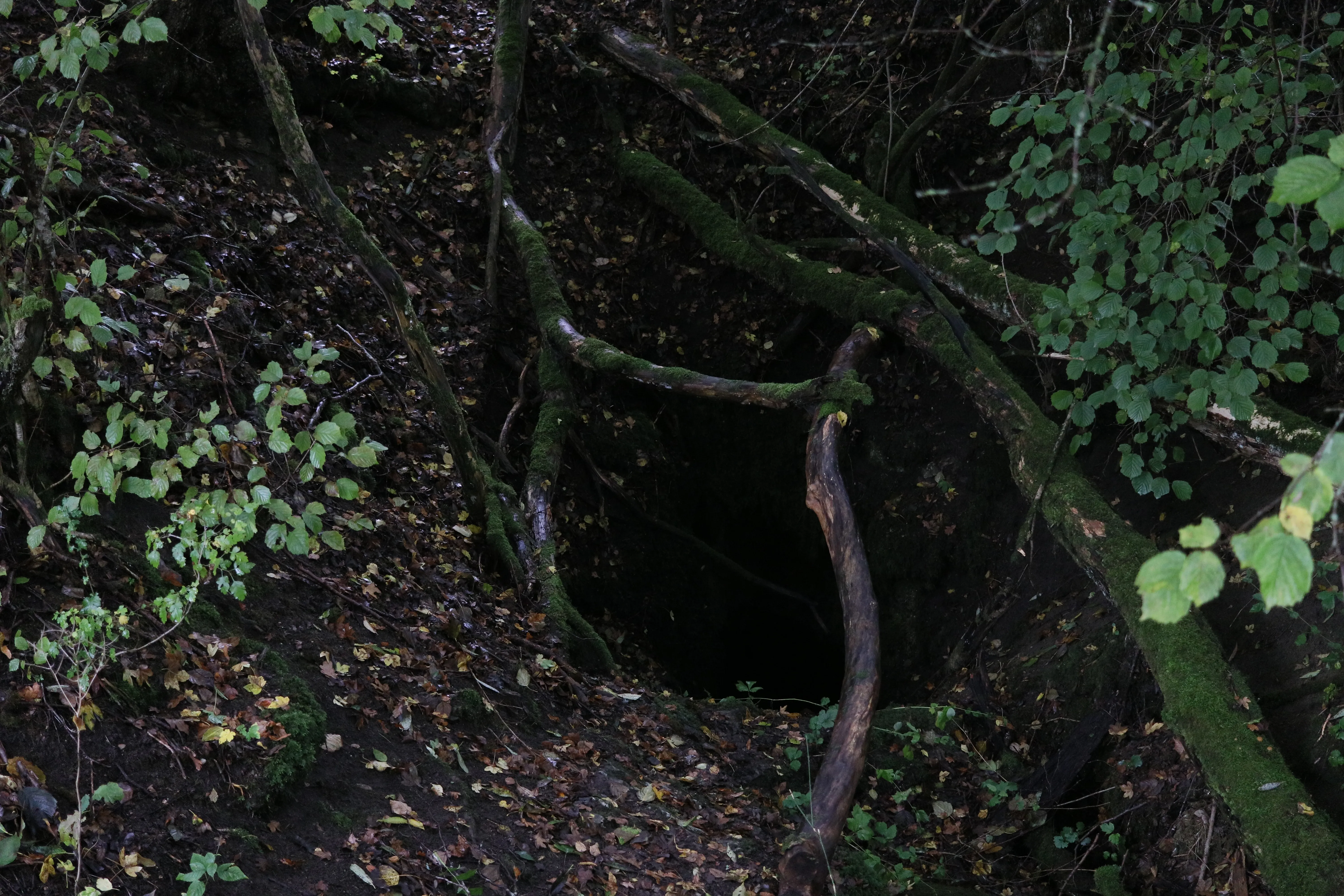


© Fabiologist · CC BY 4.0, https://creativecommons.org/licenses/by/4.0/ · Wikimedia Commons · https://commons.wikimedia.org/wiki/File:Eingang_zur_Pumperh%C3%B6hle_bei_Weilheim_1.jpg
Fuente: Geotopkataster Bayern (Bayerisches Landesamt für Umwelt) (www.umweltatlas.bayern.de), con modificaciones. CC BY 4.0, https://creativecommons.org/licenses/by/4.0/ Datenquelle: Bayerisches Landesamt für Umwelt, www.lfu.bayern.de · datos a 2026 · Contiene información de © OpenStreetMap contributors, www.openstreetmap.org, disponible bajo la Open Database License (ODbL 1.0, https://opendatacommons.org/licenses/odbl/1-0/), con modificaciones. · nombres · obtenido el 2026-11-13 · https://www.openstreetmap.org/node/8284245811 · datos a 2026 · Los datos derivados están disponibles bajo petición con la ODbL: [email protected]