
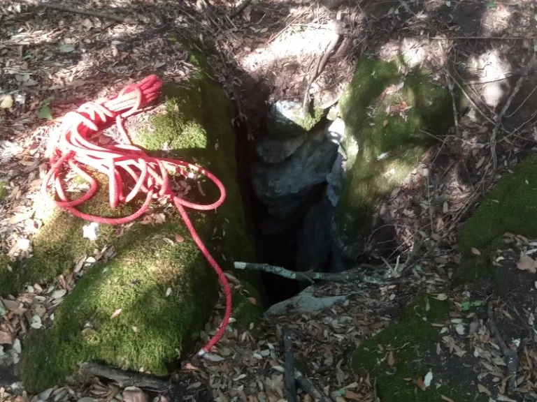
Pozzi della Piana Ingresso Dinamite
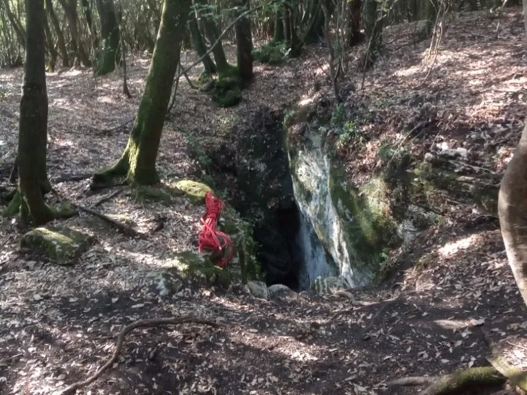
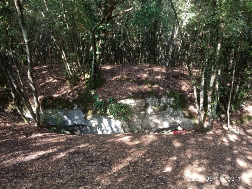
A ground-level hole near the slide entrance, with a predominantly horizontal trend and demanding traversability.
EspeleoWorld
Pozzi della Piana Ingresso Dinamite
A ground-level hole near the slide entrance, with a predominantly horizontal trend and demanding traversability.
Orvieto
Recorrido del sistema: 2555 m · Desnivel del sistema: 21 m
Ficha actualizada
https://espeleoworld.com/es/c/pozzi-della-piana-ingresso-dinamite-orvieto-terni
La información puede cambiar. Comprueba siempre las coordenadas, el acceso, la meteorología y las condiciones de la cavidad antes de salir.
A ground-level hole near the slide entrance, with a predominantly horizontal trend and demanding traversability.
Fotos
© Mauro Barbieri · LicenseRef-FUGS-media-per-item · Federazione Umbra Gruppi Speleologici (FUGS), Catasto Speleologico dell'Umbria · https://catasto.fugs.it/index.php?mod=caves&op=view&id=873
Descripción
Morfología
Ground-level hole in the vicinity of the slide entrance. On the rocks surrounding the entrance, the grooves produced by the small ladders used in the past for access can be seen.
Trend: Predominantly horizontal.
Progresión
Traversability: Demanding; recommended period: All year. Rigging: Temporary. Hazards: Dangerous access.
Otros detalles
Geology: TRA Carbonate and travertine deposits - Quaternary (Pleistocene - Holocene); Travertines; Obliterated.
Historia
Finds: Archaeological, Palaeoethnological. Studies: Archaeological, Palaeoethnological, Anthropological.
Bio
Studies and monitoring: Biospeleological.
Comentarios de usuarios (0)
Aún no hay comentarios.
¡Sé el primero en compartir tu experiencia!
Exploraciones registradas (0)
Aún no hay exploraciones registradas.
¡Registra tu visita a esta cavidad!
Cuevas cercanas

Fuente: Catasto Cavità Umbria (Federazione Umbra Gruppi Speleologici, FUGS) (catasto.fugs.it), con modificaciones. LicenseRef-FUGS-no-licence-stated Federazione Umbra Gruppi Speleologici (FUGS), Catasto Speleologico dell'Umbria · https://catasto.fugs.it/index.php?mod=caves&op=view&id=873 · datos a 2025 · Fuente: Catasto Cavità Umbria (Federazione Umbra Gruppi Speleologici, FUGS) (catasto.fugs.it), con modificaciones. LicenseRef-FUGS-media-per-item Federazione Umbra Gruppi Speleologici (FUGS), Catasto Speleologico dell'Umbria · datos a 2025