
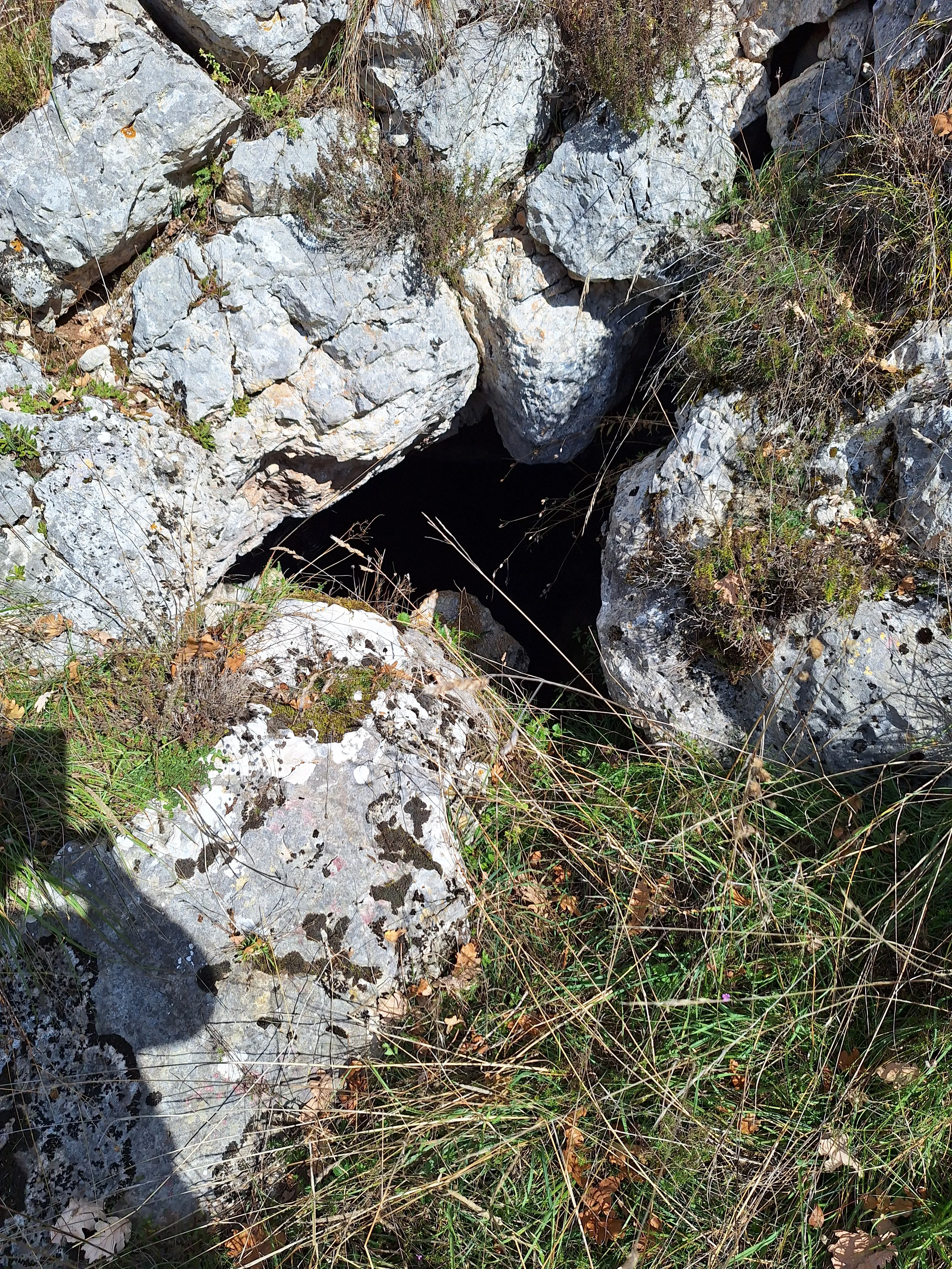
Grotta di Colle Pera
A cavity with a narrow opening and a small shaft leading to a small chamber and an ascending gallery, initially filled with earth and stones.
EspeleoWorld
Grotta di Colle Pera
A cavity with a narrow opening and a small shaft leading to a small chamber and an ascending gallery, initially filled with earth and stones.
Stroncone
Recorrido: 15 m · Desnivel: 9 m
Ficha actualizada
https://espeleoworld.com/es/c/grotta-di-colle-pera-stroncone-terni
La información puede cambiar. Comprueba siempre las coordenadas, el acceso, la meteorología y las condiciones de la cavidad antes de salir.
A cavity with a narrow opening and a small shaft leading to a small chamber and an ascending gallery, initially filled with earth and stones.
Fotos
© Mario Giacomini · LicenseRef-FUGS-media-per-item · Federazione Umbra Gruppi Speleologici (FUGS), Catasto Speleologico dell'Umbria · https://catasto.fugs.it/index.php?mod=caves&op=view&id=499
Descripción
Morfología
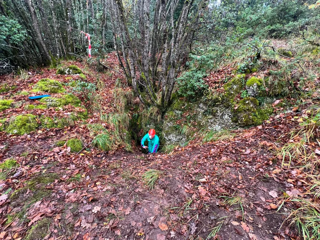
The main entrance is a hole at the foot of a rock from which one enters a fairly wide cavity crossed by a joint. The fissure also extends upwards through a narrow passage that opens into an upper entrance. The height difference between the two entrances is about 5 mt. A narrow opening and a small shaft lead into a small chamber and an ascending gallery that opens to the outside. The cave was initially filled with earth and stones. Trend: ascending/descending.
Hidrología
Hydrology and meteorology: absorbent; no circulation; environmental conditions equal to the outside.
Progresión
Traversability: easy; recommended period all year round. Rigging: temporary; single rope for ascent of about 4 mt.
Otros detalles
Geology: CDU1 Calcari Diasprigni - Middle-Upper Jurassic (Callovian-Tithonian); cherty limestones; stratified; subhorizontal; widespread, faults; stratified and corroded Diasprigni limestones. From the corrosion of these, red clay originates that filled the cave in the past.
Protection of historical-archaeological sites: no.
Notes on the name: family of shepherds from the area.
Historia
Probably used as a shelter by shepherds. Finds: archaeological. Archaeology and palethnology: discovery of fragments of fictile material that, once reassembled, formed a two-handled jug in fine ceramic dating to the late Roman period (finder Dr. Lanzi Franco). The excavations carried out by the GSS from 1975 to 1990 brought to light late Roman ceramic finds. Studies: archaeological.
Bio
Hypogean botany: algae and lichens. Environmental and biological protections: no.
Comentarios de usuarios (0)
Aún no hay comentarios.
¡Sé el primero en compartir tu experiencia!
Exploraciones registradas (0)
Aún no hay exploraciones registradas.
¡Registra tu visita a esta cavidad!
Cuevas cercanas

Fuente: Catasto Cavità Umbria (Federazione Umbra Gruppi Speleologici, FUGS) (catasto.fugs.it), con modificaciones. LicenseRef-FUGS-no-licence-stated Federazione Umbra Gruppi Speleologici (FUGS), Catasto Speleologico dell'Umbria · https://catasto.fugs.it/index.php?mod=caves&op=view&id=499 · datos a 2025 · Fuente: Catasto Cavità Umbria (Federazione Umbra Gruppi Speleologici, FUGS) (catasto.fugs.it), con modificaciones. LicenseRef-FUGS-media-per-item Federazione Umbra Gruppi Speleologici (FUGS), Catasto Speleologico dell'Umbria · datos a 2025