
Querant Petit de Paús
A cavity with 107 m of vertical drop in the municipality of Vilanova de Meià, known since ancient times and explored since 1963.
EspeleoWorld
Querant Petit de Paús
A cavity with 107 m of vertical drop in the municipality of Vilanova de Meià, known since ancient times and explored since 1963.
Vilanova de Meià · Noguera
Length: 140 m · Depth: 107 m
Updated record
https://espeleoworld.com/en/c/querant-petit-de-paus
Information can change. Always verify coordinates, access, weather, and cave conditions before setting out.
A cavity with 107 m of vertical drop in the municipality of Vilanova de Meià, known since ancient times and explored since 1963.
Topographic
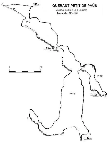

Espeleoindex · CC BY-NC 4.0, https://creativecommons.org/licenses/by-nc/4.0/ · Image © its author.
Photos

Espeleoindex · CC BY-NC 4.0, https://creativecommons.org/licenses/by-nc/4.0/ · Image © its author.
Description
Morphology
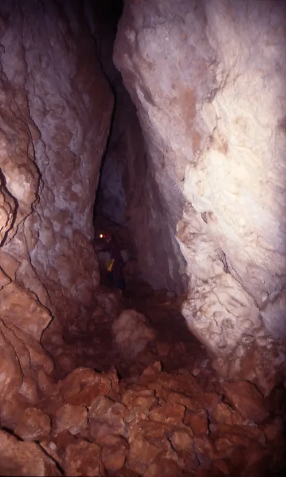
The entrance to the cavity opens in a depression 20 x 13 metres in diameter and 10 metres deep. At this point a 5-metre drop places us at the head of a ramp that will lead us to a chamber at -35 metres. Through a rather narrow passage we reach a fissure with an average section of 0.8 x 8 metres and a depth of 10 metres. At the bottom of the shaft we find a new gallery, which is closed on one side and on the other allows us to descend a few metres until we are at a depth of -107 metres.
Hydrology
At the foot of the two century-old plane trees there is a small spring that dries up in times of drought.
Progression
At this point a 5-metre drop places us at the head of a ramp that will lead us to a chamber at -35 metres. At this point, and through a rather narrow passage, we reach a fissure with an average section of 0.8 x 8 metres and a depth of 10 metres, where we find a shaft; on the other side of this the gallery continues for a few metres and widens, at which point we find a -12-metre shaft, the continuation of this sector ending at a depth of -71 metres. Back in the first shaft, this descends 45 metres until we find a small ramp, after which the shaft continues descending with much smaller dimensions, so no rope is needed to continue descending. At the bottom of this shaft we find a new gallery, which is closed on one side, and on the other allows us to descend a few metres until we are at a depth of -107 metres.
History
A cavity known since ancient times, since the flat area next to the entrance was used as a charcoal kiln. The first speleological explorations date back to 1963 by the SIRE of the UEC. In 1980 GEFOMA carried out a survey revision of the cavity, giving it a depth of -35 metres and a length of 57 metres, but a possible connection with the nearby Querant Gran de Paús was always considered. In 1996, F. Rubinat, who was part of the GEFOMA exploration team in 1980, while carrying out a solo exploration of the cavity observed a small air current at a point in the chamber; a few days later he returned with companions from the SIE, of which he was a member, to carry out the clearing and exploration of this new section of the cavity.
User Comments (0)
No comments yet.
Be the first to share your experience!
Registered Explorations (0)
No explorations registered yet.
Register your visit to this cave!
Bibliography
- Ullastre, J. (1969).-“Sobre dos simas de origen tectónico en la vertiente de Montsec de Rúbies” Boletín Puig Castellar (10):242-246. CE Puig Castellar. Barcelona.
- Escolà, O.(1970).-“Catálogo Espeleológico del Montsec” Espeleòleg (11-12):453-541. ERE-CE Catalunya. Barcelona.
- Rubinat, F.(1980).- “Revisiones topográficas” GOURS (7):47-54. GEFOMA. Barcelona.
- SIE(1998).- “Un nou -100 a Catalunya, El Querant de Paús (La Noguera)” Espeleosie (33):90-91. SIE-CE Àliga. Barcelona
- Actualització de coordenades el gener de 2017 facilitades per Juli Serrano i Montse Roca.
Nearby caves
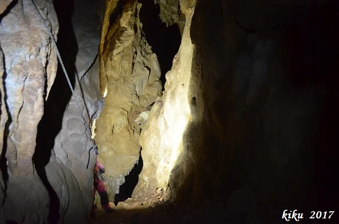
Querant Gran de Paús
0.1 km · SE
Vilanova de Meià (Noguera)
2 topo.6 photos
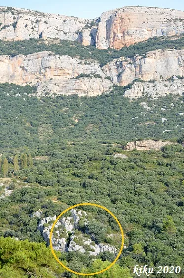
Esquerdes de l'Isaac
0.8 km · S
Vilanova de Meià (Noguera)
1 topo.17 photos
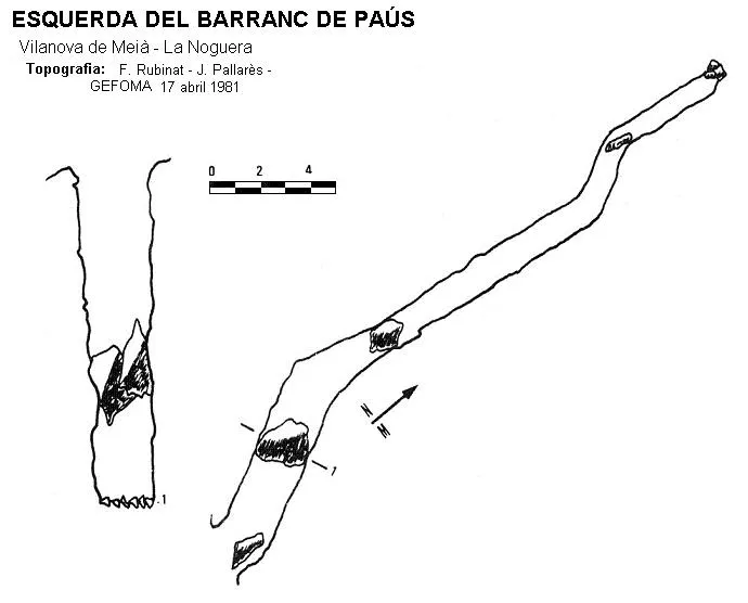
Esquerda del Barranc de Paùs
0.8 km · S
Vilanova de Meià (Noguera)
1 topo.
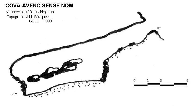
Cova-avenc Sense Nom
1.0 km · E
Vilanova de Meià (Noguera)
1 topo.
Source: Espeleoindex (espeleoindex.com), modified. CC BY-NC 4.0, https://creativecommons.org/licenses/by-nc/4.0/