
Pou de l'Encantament
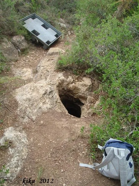
Avenc de 28 metres de fondària a Altafulla.
EspeleoWorld
Pou de l'Encantament
Avenc de 28 metres de fondària a Altafulla.
Altafulla · Tarragonès
Length: 47 m · Depth: 28 m
Updated record
https://espeleoworld.com/en/c/pou-de-l-encantament
Information can change. Always verify coordinates, access, weather, and cave conditions before setting out.
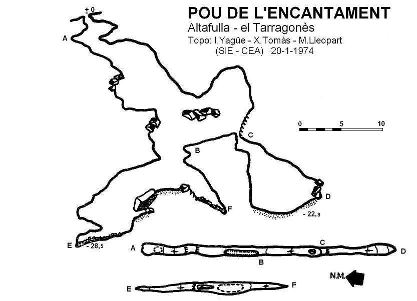
A 28-metre-deep pit in Altafulla, known since ancient times, explored by the SIE del CE Àliga in the summer of 1973 and surveyed on 20 January 1974.
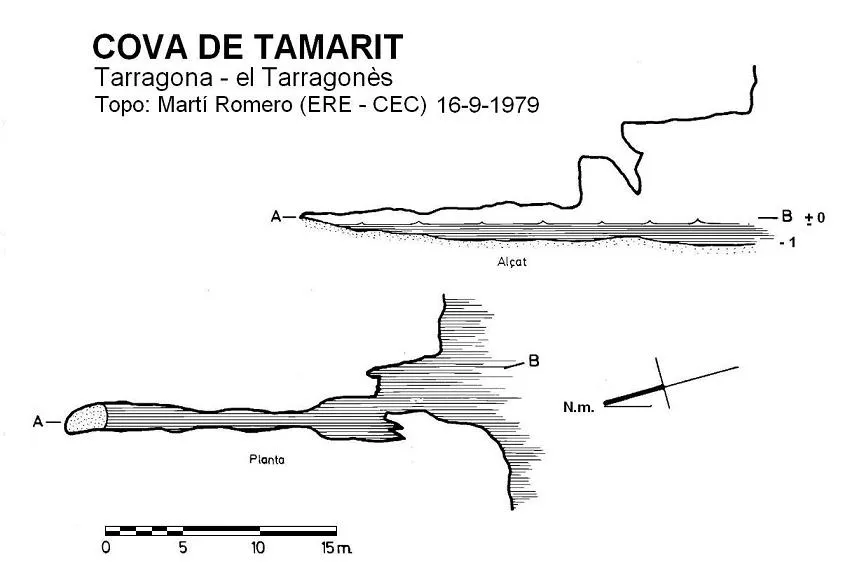
Topographic
Espeleoindex · CC BY-NC 4.0, https://creativecommons.org/licenses/by-nc/4.0/ · Image © its author.
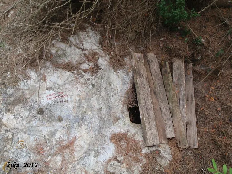
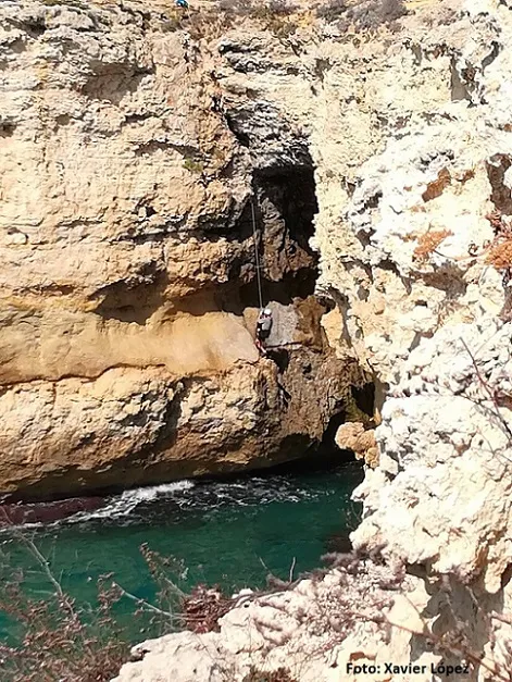
Photos
Espeleoindex · CC BY-NC 4.0, https://creativecommons.org/licenses/by-nc/4.0/ · Image © its author.
Description
Morphology
The small circular entrance 0.50 metres in diameter gives way to a first pit of 4 metres, followed by a second of 5 metres, which places us on a floor formed by fitted blocks covered in concretion. From this point we can continue by two routes: on the S side a pit drops 10 metres of vertical drop, placing us at -22.8 metres with no possibilities of continuation; on the N side, a pit of 5 metres places us at the start of a descending ramp that quickly takes us to -28.5 metres, this being the point of maximum depth of the cavity.
Speleothems
The floor formed by fitted blocks is covered in concretion.
Progression
The circular entrance 0.50 metres in diameter gives way to a first pit of 4 metres, followed by a second of 5 metres. From this point one can continue by two routes: on the S side a pit drops 10 metres of vertical drop to -22.8 metres, with no possibilities of continuation; on the N side, a pit of 5 metres places one at the start of a descending ramp that leads to -28.5 metres.
History
Known since ancient times in Altafulla, where they say that whatever fell into the hole would come out at the cova de l'Isidrot, located on the coast in the direction of Torredembarra. The SIE del CE Àliga explored it a couple of times during the summer of 1973 and surveyed it on 20 January 1974.
User Comments (0)
No comments yet.
Be the first to share your experience!
Registered Explorations (0)
No explorations registered yet.
Register your visit to this cave!
Bibliography
- Borràs, J.; Miñarro, J.M.; Talavera, F.(1978).-”l'Alt Camp, la Conca de Barberà, el Baix Penedès i el Tarragonès” Catàleg Espeleològic de Catalunya (Vol.2):1-246. Ed. Políglota. Barcelona.
- Martorell i Boada, Xavier.(2005).-Excursions pel Tarragonès. Cossetània edicions. Valls.
- Yagüe Cuevas, Ignacio.(1975).-”Nota sobre dos cavidades del municipio de Altafulla (Tarragona)”. EspeleoSie (17):35-39. SIE-CE Àliga. Barcelona.
Nearby caves


Source: Espeleoindex (espeleoindex.com), modified. CC BY-NC 4.0, https://creativecommons.org/licenses/by-nc/4.0/