
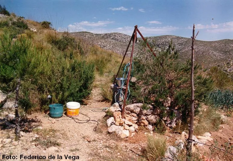
Pou de Can Jaques
Small 12 m pit used as a water well in Begues, about 150 metres NE of the farmhouse of can Jaques.
EspeleoWorld
Pou de Can Jaques
Small 12 m pit used as a water well in Begues, about 150 metres NE of the farmhouse of can Jaques.
Begues · Baix Llobregat
Length: 15 m · Depth: 12 m
Updated record
https://espeleoworld.com/en/c/pou-de-can-jaques
Information can change. Always verify coordinates, access, weather, and cave conditions before setting out.
Small 12 m pit used as a water well in Begues, about 150 metres NE of the farmhouse of can Jaques.
Topographic
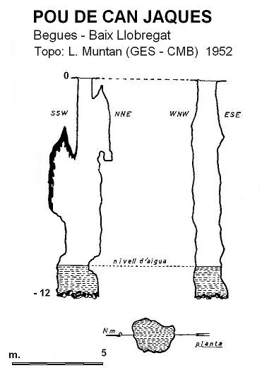

Espeleoindex · CC BY-NC 4.0, https://creativecommons.org/licenses/by-nc/4.0/ · Image © its author.
Photos

Espeleoindex · CC BY-NC 4.0, https://creativecommons.org/licenses/by-nc/4.0/ · Image © its author.
Description
Morphology
Small pit 12 metres deep, with the bottom occupied by a small water pool.
Hydrology
The bottom is occupied by a small water pool from infiltrations, with a level that varies depending on the rainfall. It was formerly fitted with masonry for its use as a water well for the nearby farmhouse.
History
The first speleological mention is the one given by Rafael Amat i Carreras, who explored it on 7 August 1924.
User Comments (0)
No comments yet.
Be the first to share your experience!
Registered Explorations (0)
No explorations registered yet.
Register your visit to this cave!
Bibliography
- Amat i Carreras, R. (1925).- “Sota el massís de Garraf. Campanya de l'any 1924” Butlletí del Centre Excursionista de Catalunya 35 (363-364): 233-267. CEC. Barcelona.
- Borràs, J. (1974).- Catálogo espeleológico del macizo de Garraf. Vol. III . 207 pp. Barcelona.
Nearby caves
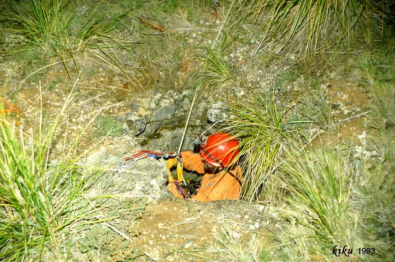
Forat de Can Jaques
0.1 km · W
Begues (Baix Llobregat)
1 topo.2 photos
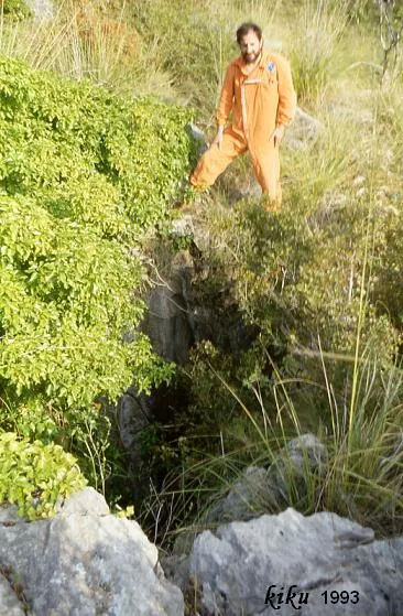
Forat del Barranc de les Mosses
0.4 km · S
Begues (Baix Llobregat)
1 topo.2 photos
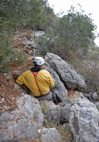
Avenc de la Germandat
0.9 km · S
Begues (Baix Llobregat)
1 topo.3 photos
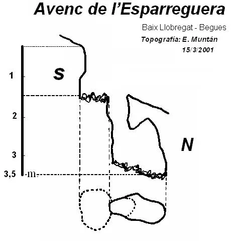
Avenc de l'Esparreguera
0.9 km · SE
Begues (Baix Llobregat)
1 topo.
Source: Espeleoindex (espeleoindex.com), modified. CC BY-NC 4.0, https://creativecommons.org/licenses/by-nc/4.0/