
Horat Deth Sud
A tiny 4 m deep pit in the Vall d'Aran, at the S end of the Plan de Tor, between the Bagergue to Liat track and the estanhot de Tor.
EspeleoWorld
Horat Deth Sud
A tiny 4 m deep pit in the Vall d'Aran, at the S end of the Plan de Tor, between the Bagergue to Liat track and the estanhot de Tor.
Naut Aran · Val d'Aran
Length: 5 m · Depth: 4 m
Updated record
https://espeleoworld.com/en/c/horat-deth-sud
Information can change. Always verify coordinates, access, weather, and cave conditions before setting out.
A tiny 4 m deep pit in the Vall d'Aran, at the S end of the Plan de Tor, between the Bagergue to Liat track and the estanhot de Tor.
Topographic
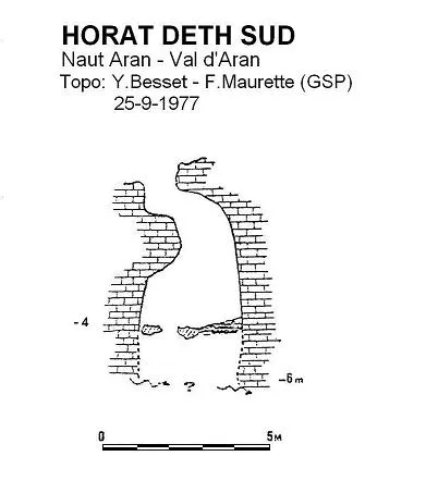
Espeleoindex · CC BY-NC 4.0, https://creativecommons.org/licenses/by-nc/4.0/ · Image © its author.
Description
Morphology
Small pit 4 m deep. It is possible to descend to the deepest penetrable point (- 4 m.), where it can be seen that the fissure continues for a couple more metres, although these are impenetrable.
Hydrology
Its first explorers (September 1977) detected a slight sound of water circulation below the deepest point reached, supposing that it came from a possible loss from the nearby estanhot de Tor.
History
Discovered by Y. Besset (GSP) on 11-9-1977. Dug open and explored on 25-9-1977 by the same Y. Besset and F. Maurette (GSP).
User Comments (0)
No comments yet.
Be the first to share your experience!
Registered Explorations (0)
No explorations registered yet.
Register your visit to this cave!
Bibliography
- Besset, Y. (1977).- “Spéléologie au Val d'Aran (Espagne)” Ouarnède (9): 57-73. Grouppe Spéléologique des Pyrénées. Toulouse.
- Quirós, M.; Galí, D.; Badiella, X.; Badiella, E. (1992).- “Uelh d'eth Tur” SIS (12): 73-84 / Arxiu del Centre Excursionista de Terrassa (75): 209-220. Terrassa.
Nearby caves
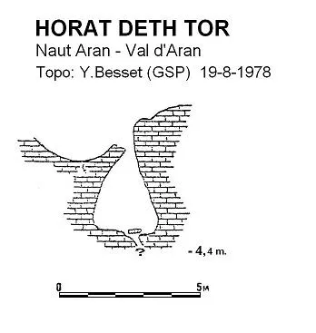
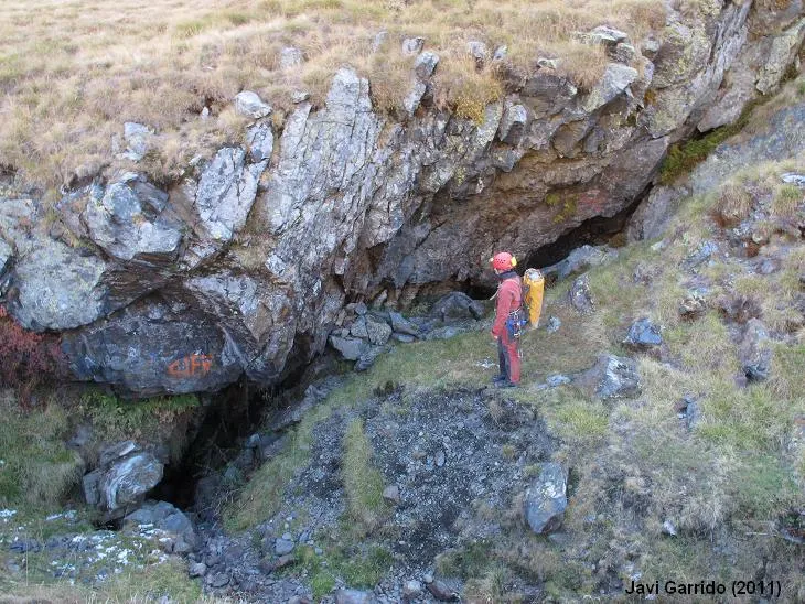
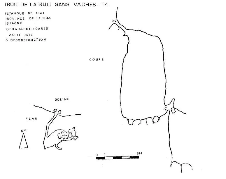

Source: Espeleoindex (espeleoindex.com), modified. CC BY-NC 4.0, https://creativecommons.org/licenses/by-nc/4.0/