
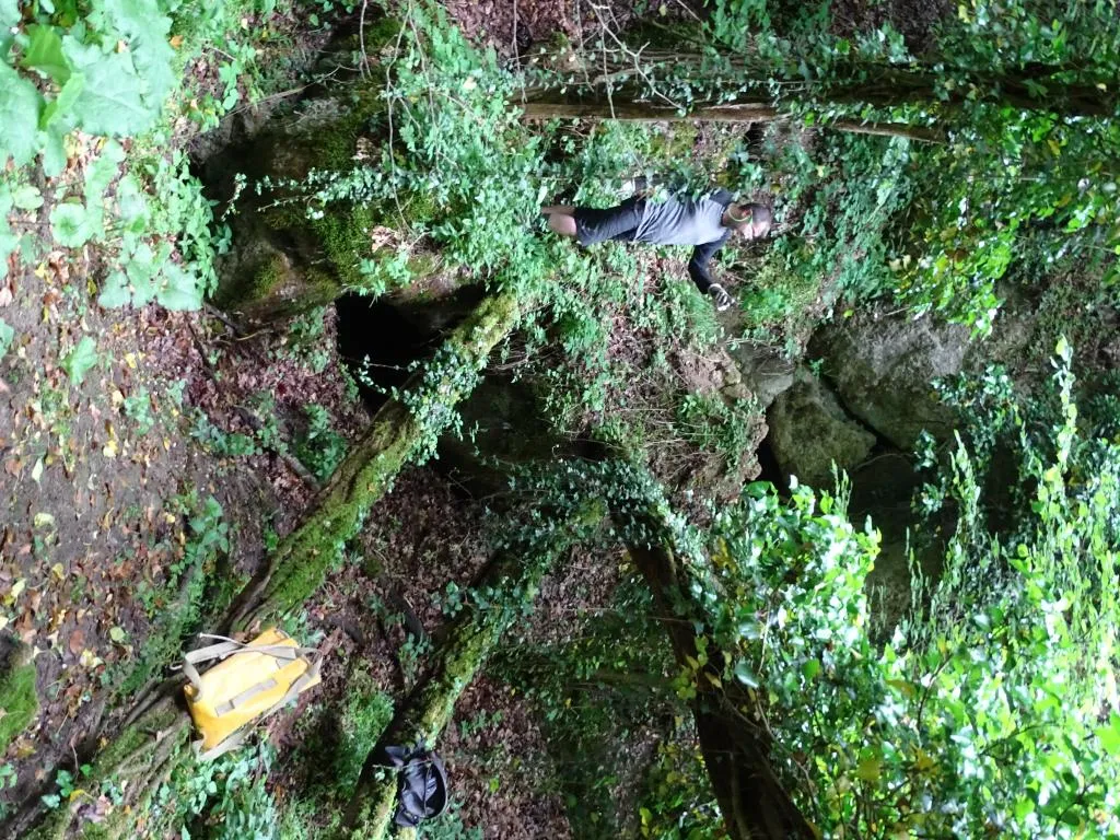
Grotta della Santa
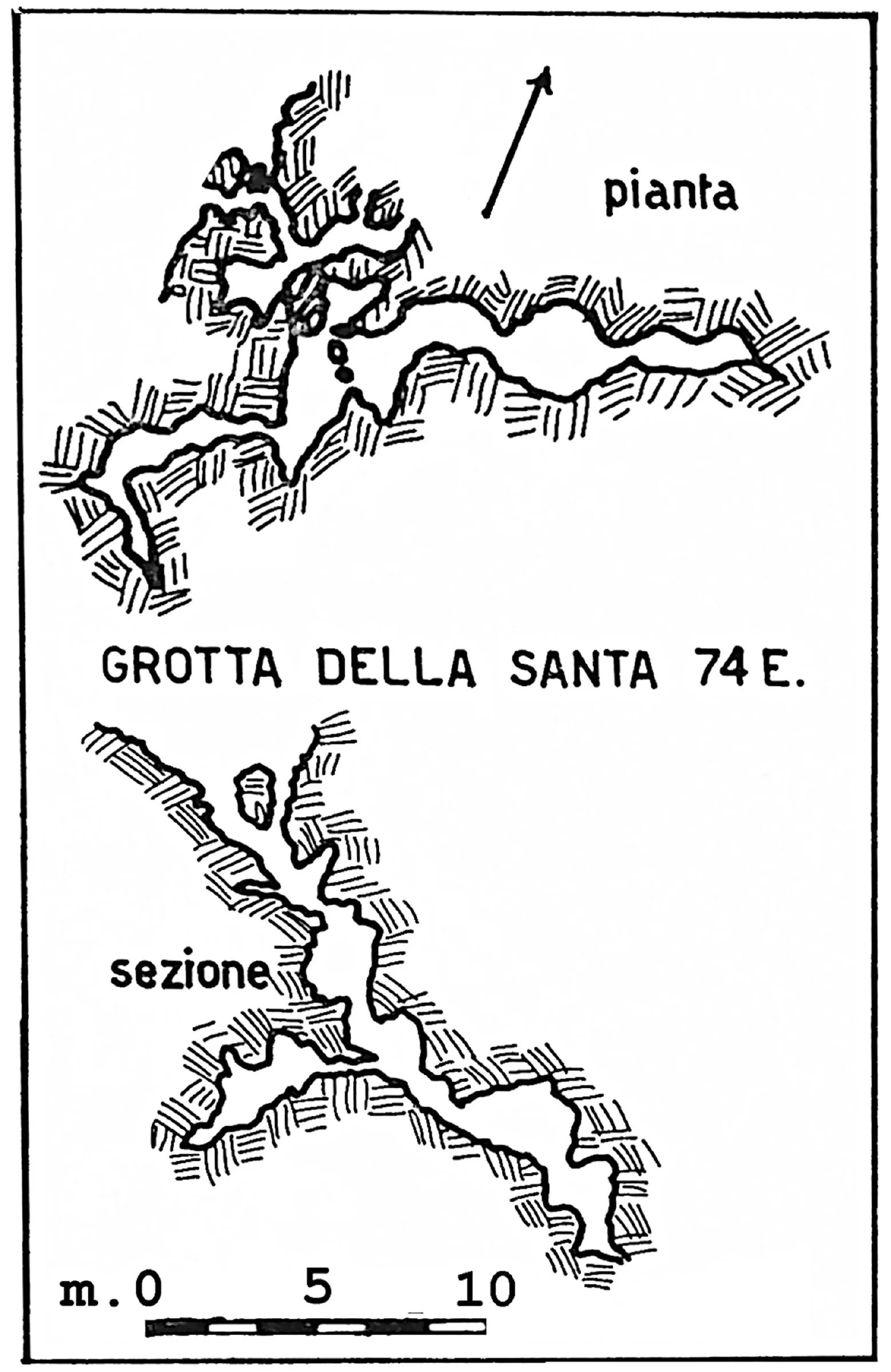
A swallow hole with a markedly steep course that divides into two short branches, both of which end by closing into narrow fissures.
EspeleoWorld
Grotta della Santa
A swallow hole with a markedly steep course that divides into two short branches, both of which end by closing into narrow fissures.
San Lazzaro di Savena
Length: 27 m · Depth: 12.5 m
Updated record
https://espeleoworld.com/en/c/grotta-della-santa-san-lazzaro-di-savena
Information can change. Always verify coordinates, access, weather, and cave conditions before setting out.
A swallow hole with a markedly steep course that divides into two short branches, both of which end by closing into narrow fissures.
Topographic

© Gruppo Speleologico Emiliano · CC BY-NC-SA 2.5 IT, https://creativecommons.org/licenses/by-nc-sa/2.5/it/ · Federazione Speleologica dell'Emilia-Romagna, http://www.fsrer.it · https://geo.regione.emilia-romagna.it/schede/speleo/index.jsp?id=74
Photos

© Gruppo Speleologico Emiliano · CC BY-NC-SA 2.5 IT, https://creativecommons.org/licenses/by-nc-sa/2.5/it/ · Federazione Speleologica dell'Emilia-Romagna, http://www.fsrer.it · https://geo.regione.emilia-romagna.it/schede/speleo/index.jsp?id=74
Description
Morphology
The description and survey clearly define the cave as a swallow hole, whose markedly steep course divides into two short branches, both of which end by closing into narrow fissures.
History
The cave was discovered and surveyed by the GSE in the early ’60s.
User Comments (0)
No comments yet.
Be the first to share your experience!
Registered Explorations (0)
No explorations registered yet.
Register your visit to this cave!
Nearby caves
Grotticella Greenpepper
0.1 km · SE
San Lazzaro di Savena
1 topo.1 photos
Grotticella dell'Intelligenza ad Est della 878
0.1 km · S
San Lazzaro di Savena
1 topo.1 photos
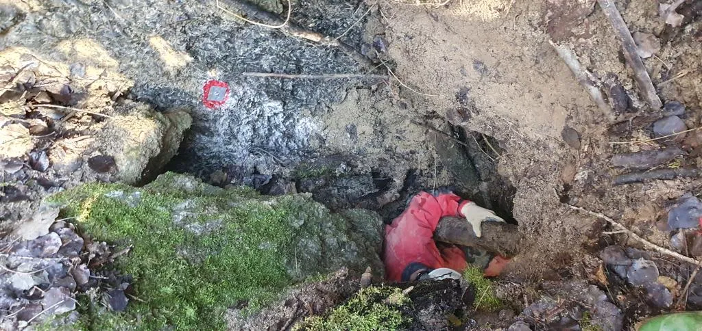
Inghiottitoio di Fondo Dolina di Goibola
0.1 km · W
San Lazzaro di Savena
1 topo.1 photos
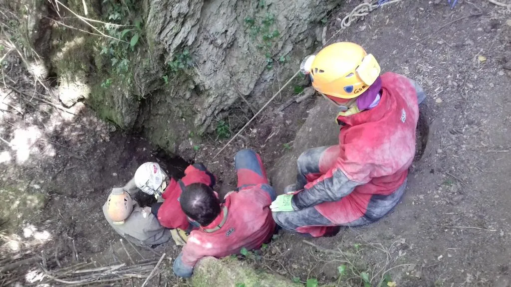
Buca delle Mani Cucite
0.2 km · NW
San Lazzaro di Savena
1 topo.1 photos
Source: Catasto delle cavità naturali dell'Emilia-Romagna (Regione Emilia-Romagna, Federazione Speleologica Regionale dell'Emilia-Romagna) (servizigis.regione.emilia-romagna.it), modified. CC BY 4.0, https://creativecommons.org/licenses/by/4.0/ Regione Emilia-Romagna, Catasto delle cavità naturali dell'Emilia-Romagna, Federazione Speleologica Regionale dell'Emilia-Romagna (FSRER) e i gruppi speleologici autori dei rilievi · data as of 2018 · Source: Catasto delle cavità naturali dell'Emilia-Romagna (Regione Emilia-Romagna, Federazione Speleologica Regionale dell'Emilia-Romagna) (servizigis.regione.emilia-romagna.it), modified. CC BY-NC-SA 2.5 IT, https://creativecommons.org/licenses/by-nc-sa/2.5/it/ Federazione Speleologica dell'Emilia-Romagna, http://www.fsrer.it · Regione Emilia-Romagna, Catasto delle cavità naturali dell'Emilia-Romagna, e i gruppi speleologici autori dei rilievi · data as of 2018