
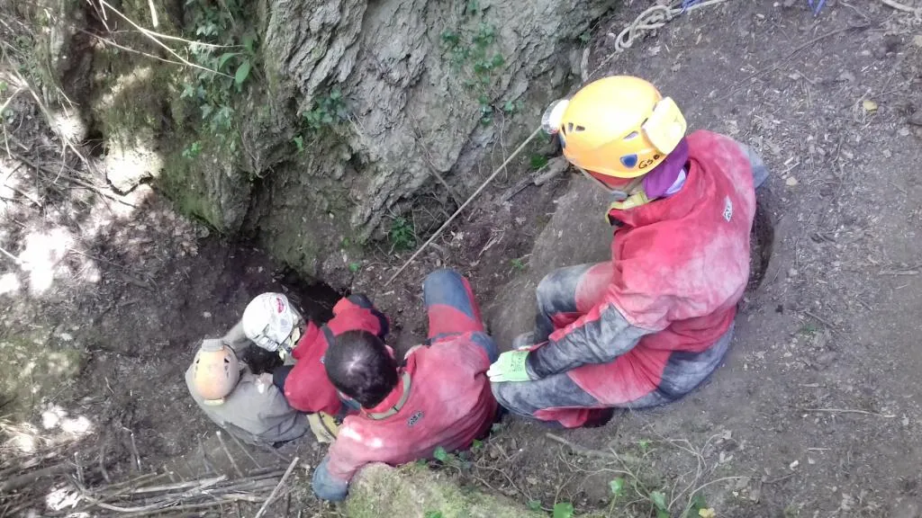
Buca delle Mani Cucite
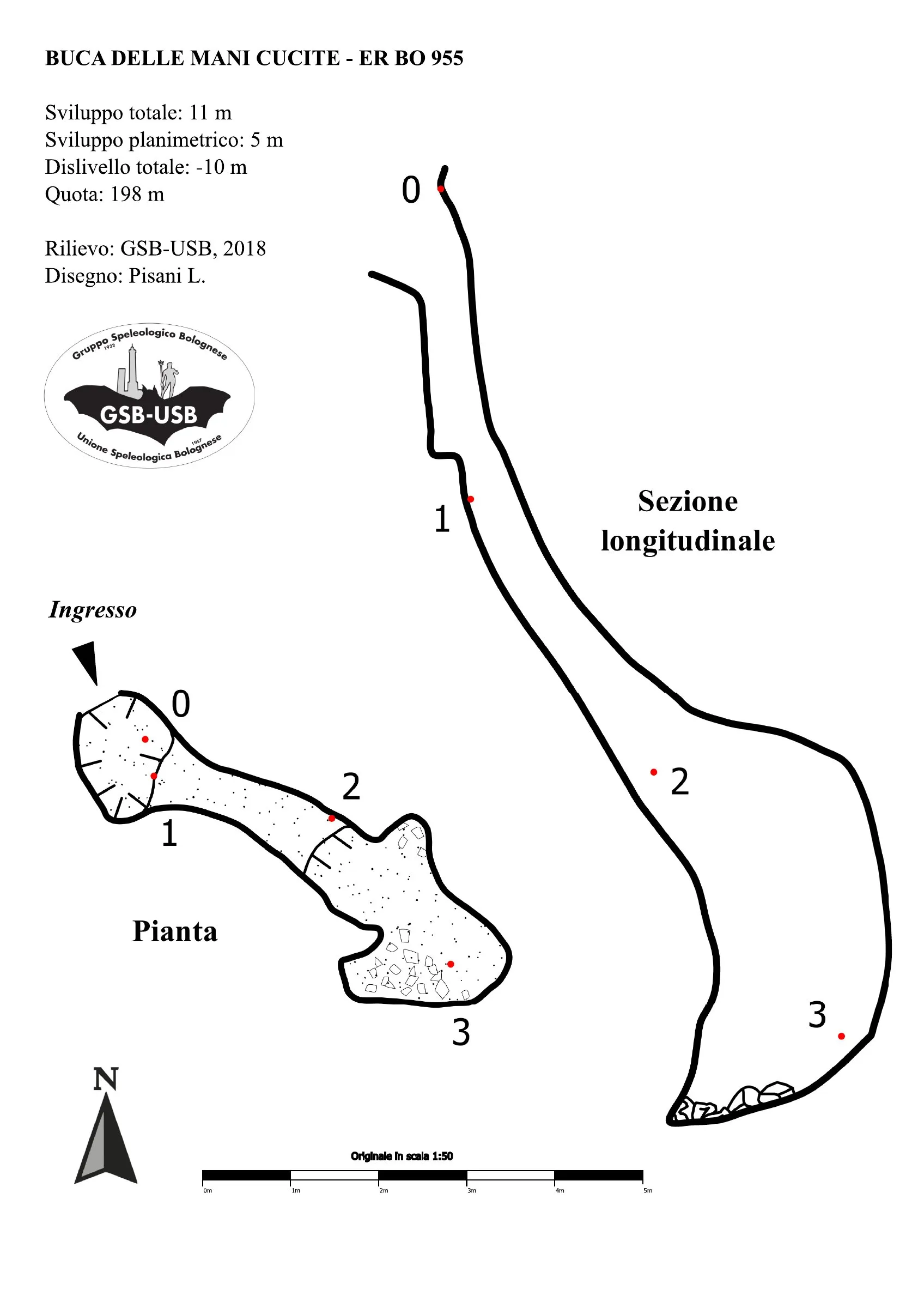
Worked sinkhole of about -10 m, discovered in 2018, opening on the bottom of a fairly large doline and ending blocked by clayey-marly sediments.
EspeleoWorld
Buca delle Mani Cucite
Worked sinkhole of about -10 m, discovered in 2018, opening on the bottom of a fairly large doline and ending blocked by clayey-marly sediments.
San Lazzaro di Savena
Length: 11 m · Depth: 10 m
Updated record
https://espeleoworld.com/en/c/buca-delle-mani-cucite-san-lazzaro-di-savena
Information can change. Always verify coordinates, access, weather, and cave conditions before setting out.
Worked sinkhole of about -10 m, discovered in 2018, opening on the bottom of a fairly large doline and ending blocked by clayey-marly sediments.
Topographic

© Gruppo Speleologico Bolognese · CC BY-NC-SA 2.5 IT, https://creativecommons.org/licenses/by-nc-sa/2.5/it/ · Federazione Speleologica dell'Emilia-Romagna, http://www.fsrer.it · https://geo.regione.emilia-romagna.it/schede/speleo/index.jsp?id=955
Photos

© Gruppo Speleologico Bolognese · CC BY-NC-SA 2.5 IT, https://creativecommons.org/licenses/by-nc-sa/2.5/it/ · Federazione Speleologica dell'Emilia-Romagna, http://www.fsrer.it · https://geo.regione.emilia-romagna.it/schede/speleo/index.jsp?id=955
Description
Morphology
The cavity presents itself as a worked sinkhole of about -10 m. The passages at the bottom suggest the presence of a fairly large meander, unfortunately completely blocked by clayey-marly sediments.
Other details
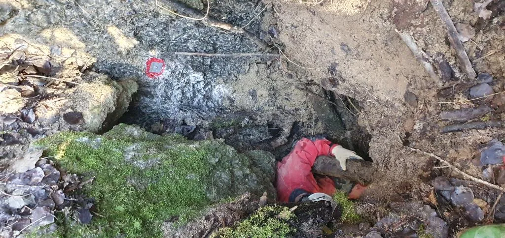
As of 2020, the cavity is partially occluded and a landslide of debris and logs weighs on the entrance. The tag was installed on the rock walls along the descent of the doline leading to the entrance, so as to remain visible even in the event of complete occlusion of the initial portal.
History
Sinkhole discovered in 2018 by GSB-USB.
User Comments (0)
No comments yet.
Be the first to share your experience!
Registered Explorations (0)
No explorations registered yet.
Register your visit to this cave!
Nearby caves
Inghiottitoio di Fondo Dolina di Goibola
0.2 km · S
San Lazzaro di Savena
1 topo.1 photos
Grotta della Santa
0.2 km · SE
San Lazzaro di Savena
1 topo.1 photos
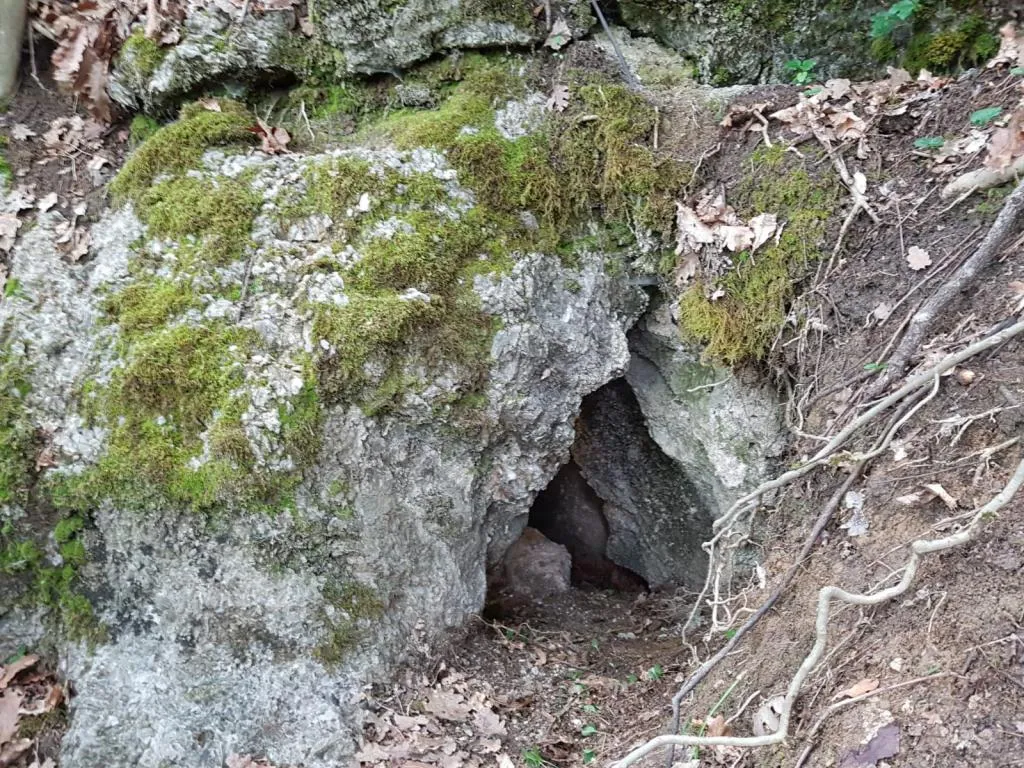
Grotticella Greenpepper
0.2 km · SE
San Lazzaro di Savena
1 topo.1 photos
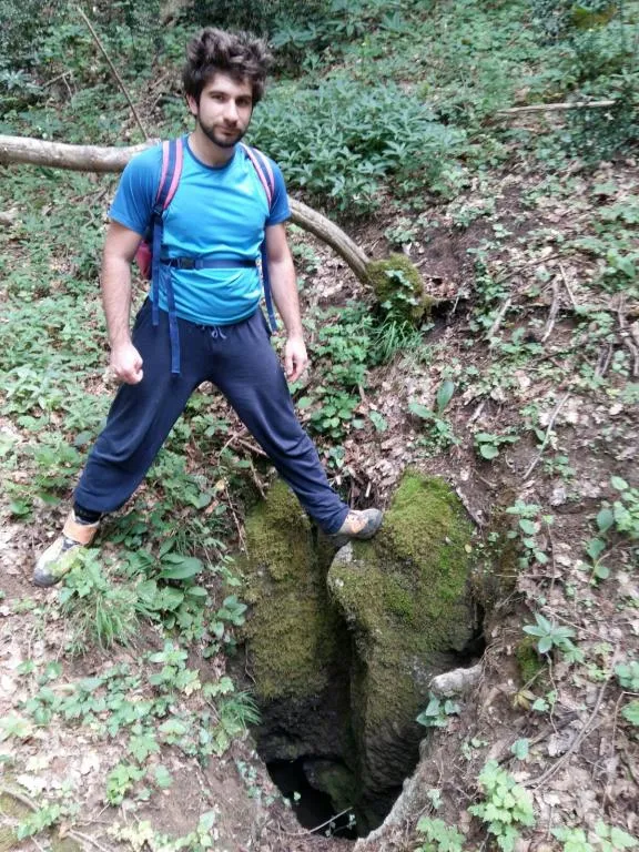
Grotticella dell'Intelligenza ad Est della 878
0.3 km · SE
San Lazzaro di Savena
1 topo.1 photos
Source: Catasto delle cavità naturali dell'Emilia-Romagna (Regione Emilia-Romagna, Federazione Speleologica Regionale dell'Emilia-Romagna) (servizigis.regione.emilia-romagna.it), modified. CC BY 4.0, https://creativecommons.org/licenses/by/4.0/ Regione Emilia-Romagna, Catasto delle cavità naturali dell'Emilia-Romagna, Federazione Speleologica Regionale dell'Emilia-Romagna (FSRER) e i gruppi speleologici autori dei rilievi · data as of 2018 · Source: Catasto delle cavità naturali dell'Emilia-Romagna (Regione Emilia-Romagna, Federazione Speleologica Regionale dell'Emilia-Romagna) (servizigis.regione.emilia-romagna.it), modified. CC BY-NC-SA 2.5 IT, https://creativecommons.org/licenses/by-nc-sa/2.5/it/ Federazione Speleologica dell'Emilia-Romagna, http://www.fsrer.it · Regione Emilia-Romagna, Catasto delle cavità naturali dell'Emilia-Romagna, e i gruppi speleologici autori dei rilievi · data as of 2018