
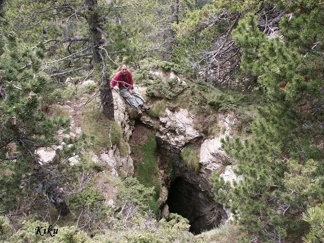
Graller de la Pleta de l'ós
A cavity with 70 m of vertical drop in the municipality of Saldes, first explored by the ERE of the CEC on 29 and 30 June 1968.
EspeleoWorld
Graller de la Pleta de l'ós
A cavity with 70 m of vertical drop in the municipality of Saldes, first explored by the ERE of the CEC on 29 and 30 June 1968.
Saldes · Berguedà
Length: 140 m · Depth: 70 m
Updated record
https://espeleoworld.com/en/c/graller-de-la-pleta-de-l-os
Information can change. Always verify coordinates, access, weather, and cave conditions before setting out.
A cavity with 70 m of vertical drop in the municipality of Saldes, first explored by the ERE of the CEC on 29 and 30 June 1968.
Topographic
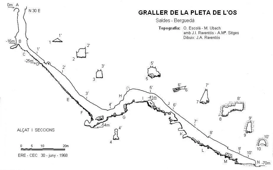
Espeleoindex · CC BY-NC 4.0, https://creativecommons.org/licenses/by-nc/4.0/ · Image © its author.
Photos
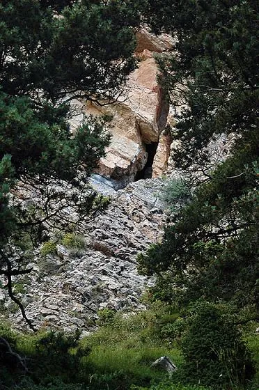
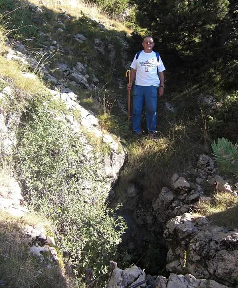
Espeleoindex · CC BY-NC 4.0, https://creativecommons.org/licenses/by-nc/4.0/ · Image © its author.
Description
Morphology
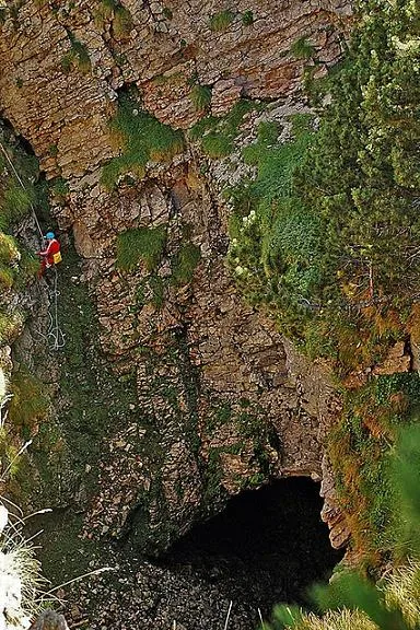
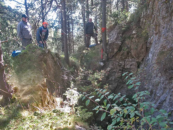
The entrance, 3.5 x 2.5 metres, is oriented along a joint trending N 30 E and opens 1.5 metres from the edge of a small cliff. It gives way to a shaft that reaches -16 metres, above a cone of debris and tree trunks that begin a steep ramp with blocks that will take us to a point where we find a small shaft between blocks that places us at -54 metres.
From here the gallery continues slightly horizontally, climbing between blocks up to -41 metres; then the gallery descends again and at -47 metres we find a step. From this point the gallery continues descending until reaching -70 metres, where the cavity ends.
Progression
At -47 metres we find a step where the help of a rope as a safety measure is appreciated.
History
This cavity was first explored by the ERE of the CEC on 29 and 30 June 1968.
User Comments (0)
No comments yet.
Be the first to share your experience!
Registered Explorations (0)
No explorations registered yet.
Register your visit to this cave!
Bibliography
Escolà, Oleguer; Ubach, Montserrat (1969).- “Graller de la Pleta de l'Os” Espeleòleg (9):367-374. ERE-CEC. Barcelona.
Nearby caves


Source: Espeleoindex (espeleoindex.com), modified. CC BY-NC 4.0, https://creativecommons.org/licenses/by-nc/4.0/