

Forat del Mont
A 60-metre-long cave in the Vall de Boí, an old local spring now inactive, with a total elevation change of 20 metres (-5/+15).
EspeleoWorld
Forat del Mont
A 60-metre-long cave in the Vall de Boí, an old local spring now inactive, with a total elevation change of 20 metres (-5/+15).
Vall de Boí, La · Alta Ribagorça
Length: 60 m · Depth: 20 m
Updated record
https://espeleoworld.com/en/c/forat-del-mont
Information can change. Always verify coordinates, access, weather, and cave conditions before setting out.
A 60-metre-long cave in the Vall de Boí, an old local spring now inactive, with a total elevation change of 20 metres (-5/+15).
Topographic


Espeleoindex · CC BY-NC 4.0, https://creativecommons.org/licenses/by-nc/4.0/ · Image © its author.
Photos

Espeleoindex · CC BY-NC 4.0, https://creativecommons.org/licenses/by-nc/4.0/ · Image © its author.
Description
Morphology
The cavity constitutes an old local spring, today totally inactive. The reconstruction process is evidenced by the flowstone that adorns much of the cavity. The total elevation change is 20 metres, (-5/+15).
Other details
In the summer of 2020, Joan Pallisé, in his biospeleological research, relocated the cavity. A few metres from the entrance, he observes on the ground some large green droppings and hears a certain noise coming from inside. Being alone and with only a headlamp, he decides to turn back. He thinks that perhaps a marmot has used the cavity as a refuge.
History
The first reference to the exploration of this cavity was made by the GELL of the Centre Excursionista de Lleida on 16 September 1984.
ADDENDUM
M. Faura i Sans in his work “La espeleología de Cataluña” (Madrid, 1911) includes an extensive bibliographic list of everything published at that time on speleology in Catalonia.
Under number 123 there appears a citation that says verbatim:
LOURDE (A.) - La grotte de l'Ourrá Vielle (Catalogne). Bull. Sec. du sud-ouest Club. Alp. Fran. No. 58, page 84. 1905.
From then on, in all the catalogues, inventories and lists of cavities of the Vall d'Aran this Grotte de l'Ourrá had been included, without having any further data about it than the aforementioned bibliographic citation.
Recently, around 2008, our colleague Jordi de Valles managed to find again in the library of the Centre Excursionista de Catalunya the copy of this bulletin of the Club Alpin Français, Bordeaux section. Consulting it made it possible to find out that the data provided by Faura are incorrect, probably due to a superficial reading and a printing error. It turns out that the cave is not called grotte de l'Ourrà, but Grotte de l'Ours, and moreover, it is not located in Viella, but in the area of Caldes de Boí (l'Alta Ribagorça).
Unfortunately, when Jordi de Valles makes this discovery, the first volume of his Catàleg Espeleològic de Catalunya had already been published, which includes the comarca of the Vall d'Aran and therefore he could not make the appropriate correction.
Informed by him about the matter, we make the enquiry and in fact it is not an article, since it is simply the review of an excursion that we transcribe verbatim below:
A. Lourde-Rocheblave et Julien Odier (Section de Paris): du 13 aoüt τ 9 septembre 1905, de Viella à Viella; pérégrinations en Catalogne, avec les guide Catala, de Luz.
13 aoüt.- De Viella à Caldas de Bohi, par les ports de Viella et de la Gélade.
14-17 aoüt.- Séjour à l'établissement de Caldas, confortable et très propre (7 pesetas et demie par jour).
Avenc M. le comte M. Delamare, qui nous avait fait un aimable accueil dans sa demeure d'Eril, visité une grotte que nous avons appelee “de l'Ours”, ouverte dans le flanc de la Coma Midyana: 250 à 300 m. de long, hauteur moyenne 1 m., trois chambres de 2m x 3 m. environ, cheminées oú la corde est assez agréable; il faut une heure et demie pour l'aller et le retour, on chemine à quatre pattes, le roc est un calcaire dur, peu de parties humides; trouvé à l'intérieur des ossements d'ours, des débris d'isards et d'oiseaux. Il y paraît-il au-dessus une autre galerie.
From reading this text by Lourde and his companions we dare to believe that their Grotte de l'Ours (Ourrà, according to Faura), is none other than the Forat del Mont. If we consult the ICC map we will see that this is located in the area of Comaminyana, with the peak and the ravine of the same name (they call it Coma Midyana). According to their description the cave has an ascending direction and is not very wide (like the Forat del Mont), the only difference is the length, which they estimate at some 250 or 300 metres, but which is no more than a very frequent exaggeration of those times.
User Comments (0)
No comments yet.
Be the first to share your experience!
Registered Explorations (0)
No explorations registered yet.
Register your visit to this cave!
Bibliography
- GELL (1984).-”Fitxer de cavitats” Grallera (1):45-62. GE Lleidatà. Lleida.
- Revisió de coordenades, situació i fotografies facilitades per Joan Pallisé (juliol 2020)
Nearby caves
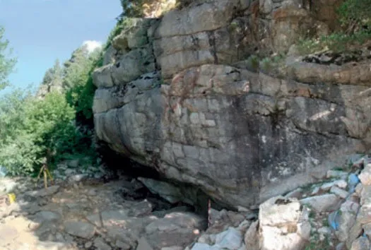
Cova del Sardo
8.0 km · E
Vall de Boí, La (Alta Ribagorça)
2 topo.2 photos

Forat del Graller
8.7 km · E
Vall de Boí, La (Alta Ribagorça)
1 topo.11 photos
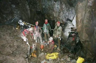
Sistema de la Bargadèra
11 km · N
Vielha e Mijaran (Val d'Aran)
2 topo.5 photos

Horat Gb-3
11 km · N
Vielha e Mijaran (Val d'Aran)
1 topo.
Source: Espeleoindex (espeleoindex.com), modified. CC BY-NC 4.0, https://creativecommons.org/licenses/by-nc/4.0/