
Forat de la Vaca
Esquerda de 16 m. de profunditat al Boumort, a Abella de la Conca
EspeleoWorld
Forat de la Vaca
Esquerda de 16 m. de profunditat al Boumort, a Abella de la Conca
Abella de la Conca · Pallars Jussà
Length: 26 m · Depth: 16 m
Updated record
https://espeleoworld.com/en/c/forat-de-la-vaca
Information can change. Always verify coordinates, access, weather, and cave conditions before setting out.
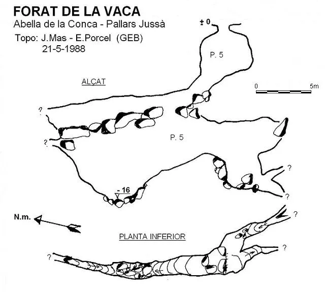
A 16 m deep fissure at Boumort, in Abella de la Conca. A collapse cavity with two 5-metre pits and a N-S joint.
Topographic

Espeleoindex · CC BY-NC 4.0, https://creativecommons.org/licenses/by-nc/4.0/ · Image © its author.
Photos

Espeleoindex · CC BY-NC 4.0, https://creativecommons.org/licenses/by-nc/4.0/ · Image © its author.
Description
Morphology
A collapse cavity with a circular mouth. There are two small pits of 5 metres each, which give access to a N-S joint where the pit is structured and which ends up closing at both ends in narrow crawls.
History
The first exploration was carried out by members of the GE Badalona in 1983, who returned on 21 May 1988 to carry out the survey.
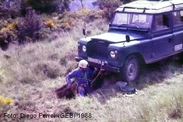
The cavity came to the surface when a cow half sank due to the collapse of the mouth.
User Comments (0)
No comments yet.
Be the first to share your experience!
Registered Explorations (0)
No explorations registered yet.
Register your visit to this cave!
Bibliography
- Porcel, E. (1990).- “Noves cavitats a la Serra del Boumort” Cavernas (22): 31-42. GE Badalona.
- AA.VV (2007).- Serra de Boumort. Mapa excursionista. 2 mapes a 1:20000. Ed. Piolet. Barcelona.
Fotografia facilitada per Enric Porcel (GEB).
Nearby caves
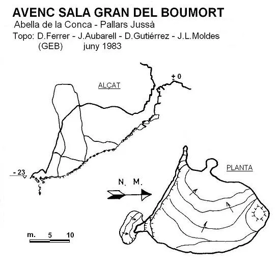
Avenc Sala Gran del Boumort
0.2 km · E
Abella de la Conca (Pallars Jussà)
1 topo.
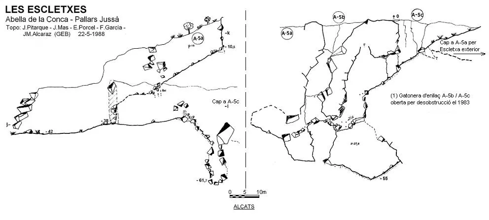
les Escletxes
0.2 km · E
Abella de la Conca (Pallars Jussà)
2 topo.
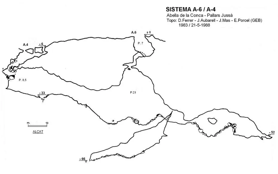
Sistema A-4/a-6
0.3 km · E
Abella de la Conca (Pallars Jussà)
2 topo.
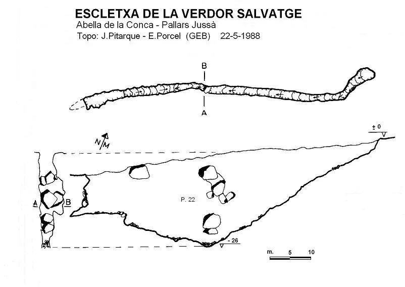
Escletxa de la Verdor Salvatge
0.3 km · NE
Abella de la Conca (Pallars Jussà)
1 topo.
Source: Espeleoindex (espeleoindex.com), modified. CC BY-NC 4.0, https://creativecommons.org/licenses/by-nc/4.0/