
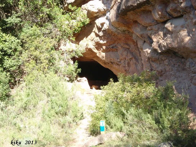
Font del Càntir
Petita cova de 18 metres de recorregut a Rellinars.
EspeleoWorld
Font del Càntir
Petita cova de 18 metres de recorregut a Rellinars.
Rellinars · Vallès Occidental
Length: 18 m
Updated record
https://espeleoworld.com/en/c/font-del-cantir
Information can change. Always verify coordinates, access, weather, and cave conditions before setting out.
Small cave with 18 metres of passage in Rellinars, opened in a sandstone stratum below the conglomerates.
Topographic
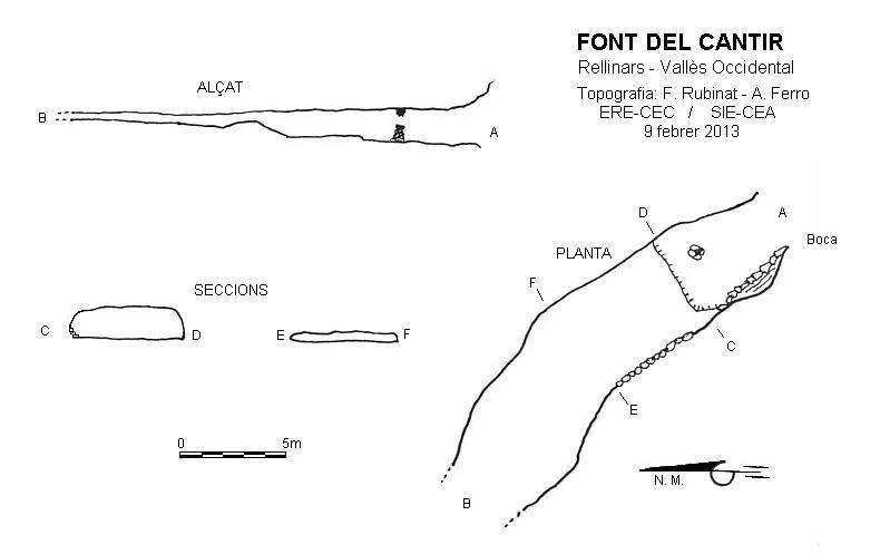

Espeleoindex · CC BY-NC 4.0, https://creativecommons.org/licenses/by-nc/4.0/ · Image © its author.
Photos

Espeleoindex · CC BY-NC 4.0, https://creativecommons.org/licenses/by-nc/4.0/ · Image © its author.
Description
Morphology
This cave opens in a sandstone stratum, located below the conglomerates. It can be seen that at some point in its history it was partially excavated for use as a dwelling, from the existing space between the sediments (most probably brought by the nearby stream) and the sandstone stratum.
The entrance is 2.65x2.39 metres and gives access to a gallery where after 3 metres we find a basin that collects the water from a drip. Two metres further on we find a step 0.4 metres high and the gallery widens to 5 metres, while the height drops to 1.7 metres. The gallery continues 5 metres more but the height gradually decreases until only a space 0.44 metres high remains; about 8 metres more can still be covered until it becomes impassable.
Hydrology
At 3 metres from the entrance we find a basin made of stones with a water trough on top that collects a drip from the ceiling. On this drip, the upper part of an upturned pitcher has been set with cement, in order to channel the drip into the trough; hence the name of the cave.
History
Despite being quite well known in hiking circles, no speleological reference about this cave is known. The name font is a euphemism, since there is no spring in the cave, it is only a small drip.
User Comments (0)
No comments yet.
Be the first to share your experience!
Registered Explorations (0)
No explorations registered yet.
Register your visit to this cave!
Bibliography
Nearby caves
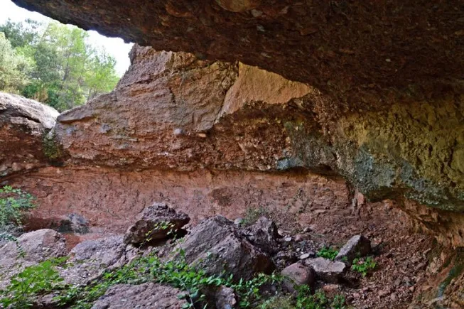
Balma del Torrent de l'esbarzer
0.9 km · SW
Rellinars (Vallès Occidental)
1 topo.4 photos
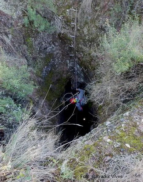
Avenc dels Plans
1.2 km · SE
Rellinars (Vallès Occidental)
1 topo.5 photos
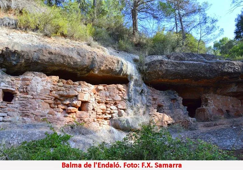
Balma de l'Endaló
1.7 km · S
Rellinars (Vallès Occidental)
1 topo.3 photos
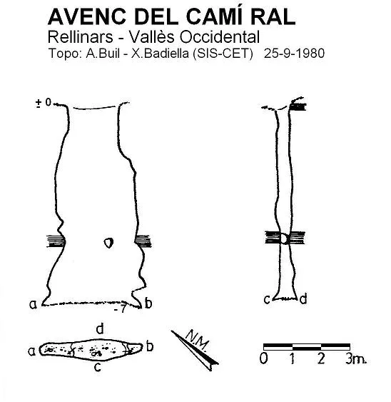
Avenc del Camí Ral
1.8 km · SE
Rellinars (Vallès Occidental)
2 topo.
Source: Espeleoindex (espeleoindex.com), modified. CC BY-NC 4.0, https://creativecommons.org/licenses/by-nc/4.0/