
Esquerda de la Via Sense Nom
Esquerda de 42 metres de fondària a Vilaverd
EspeleoWorld
Esquerda de la Via Sense Nom
Esquerda de 42 metres de fondària a Vilaverd
Vilaverd · Conca de Barberà
Length: 70 m · Depth: 42 m
Updated record
https://espeleoworld.com/en/c/esquerda-de-la-via-sense-nom
Information can change. Always verify coordinates, access, weather, and cave conditions before setting out.
A 42-metre-deep fissure in Vilaverd, known to climbers for the Sense Nom route, explored speleologically on 23-04-2026.
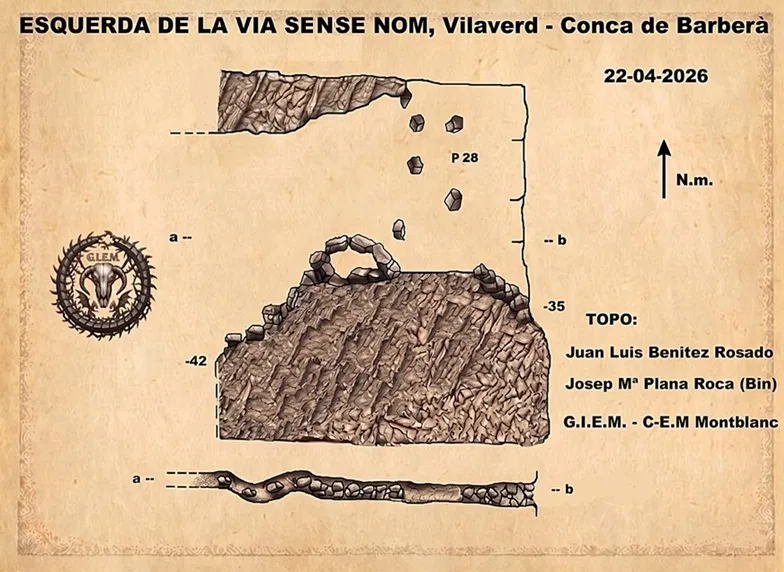
Topographic

Espeleoindex · CC BY-NC 4.0, https://creativecommons.org/licenses/by-nc/4.0/ · Image © its author.
Photos

Espeleoindex · CC BY-NC 4.0, https://creativecommons.org/licenses/by-nc/4.0/ · Image © its author.
Description
Morphology
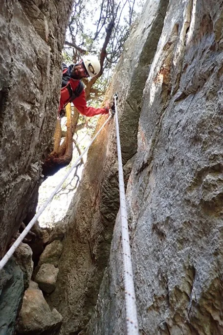
A 1-metre-wide fissure gives way to a 28-metre vertical drop. In the first metres it is 0.90 metres wide, narrowing until at some point reaching 0.50 metres. Once at the base of the vertical, in an Easterly direction it is necessary to climb up some blocks and then scramble down some steps formed by accumulation of wedged blocks; the fissure narrows until it becomes quite tight both vertically and horizontally, at -42 metres (dropping a stone it falls quite a way). Returning to the base of the vertical in a Westerly direction, scrambling down some blocks, we come out to the exterior at -35 metres.
Progression
Rigging: two plates with rings on the 28-metre vertical. At -35 metres, rigging: two plates with rings, to descend by this point, a 20-metre abseil with a 3-metre pendulum on a climbing belay to use as a deviation.
History
Speleologically, it has gone unnoticed, known to climbers, for the classic climbing route Sense Nom, which runs along the wall on the inside, remembered for having been climbed by Juan Luis Benitez Rosado; it is explored together with Josep Mª Plana Roca (Bin) of the GIEM-CEM, on 23-04-2026.
User Comments (0)
No comments yet.
Be the first to share your experience!
Registered Explorations (0)
No explorations registered yet.
Register your visit to this cave!
Bibliography
Totes les dades, coordenades, topografia i fotografies han estat aportades per Juan Luis Benitez Rosado i Josep Mª Plana Roca (Bin), del GIEM-CEM. Abril de 2026.
Nearby caves
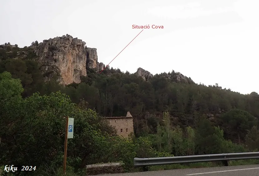
Cova del Cingle dels Pins Alts
0.0 km · NE
Vilaverd (Conca de Barberà)
1 topo.8 photos
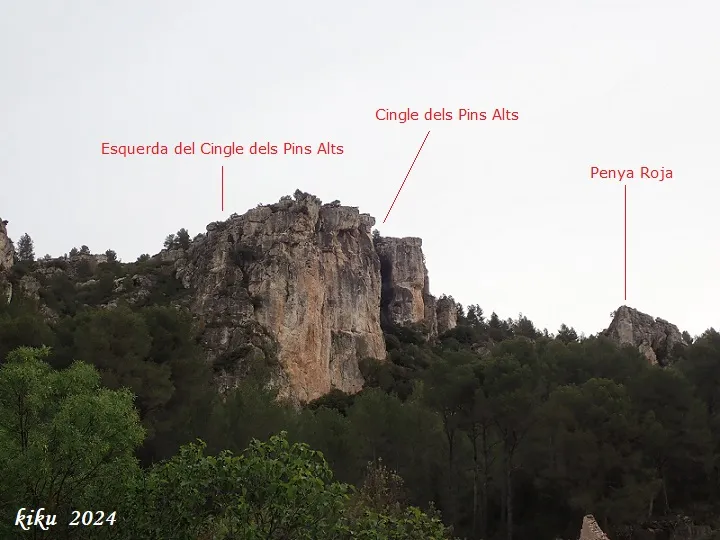
Esquerda del Cingle dels Pins Alts
0.0 km · NW
Vilaverd (Conca de Barberà)
1 topo.7 photos
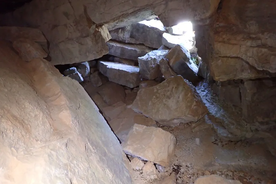
Avenc dels Blocs
0.1 km · N
Vilaverd (Conca de Barberà)
1 topo.5 photos
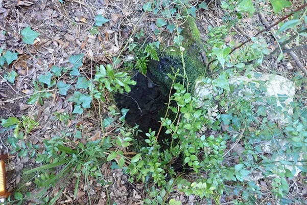
Avenc Petit dels Talpets
0.1 km · NW
Vilaverd (Conca de Barberà)
1 topo.4 photos
Source: Espeleoindex (espeleoindex.com), modified. CC BY-NC 4.0, https://creativecommons.org/licenses/by-nc/4.0/