
Esquerda de l'Infern
Small, non-continuous fissure near the Puig de les Sand (Amer), 36 metres long with a maximum height difference of 6.70 metres, related to the Amer fault.
EspeleoWorld
Esquerda de l'Infern
Small, non-continuous fissure near the Puig de les Sand (Amer), 36 metres long with a maximum height difference of 6.70 metres, related to the Amer fault.
Amer · Selva
Length: 36 m · Depth: 6 m
Updated record
https://espeleoworld.com/en/c/esquerda-de-l-infern
Information can change. Always verify coordinates, access, weather, and cave conditions before setting out.
Small, non-continuous fissure near the Puig de les Sand (Amer), 36 metres long with a maximum height difference of 6.70 metres, related to the Amer fault.
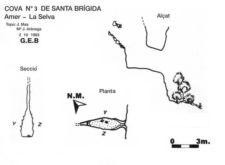
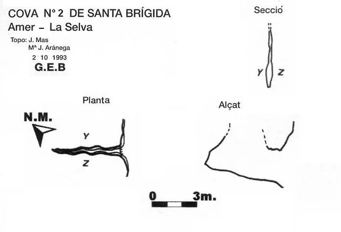
Topographic
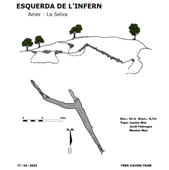
Espeleoindex · CC BY-NC 4.0, https://creativecommons.org/licenses/by-nc/4.0/ · Image © its author.
Photos
Espeleoindex · CC BY-NC 4.0, https://creativecommons.org/licenses/by-nc/4.0/ · Image © its author.
Description
Morphology
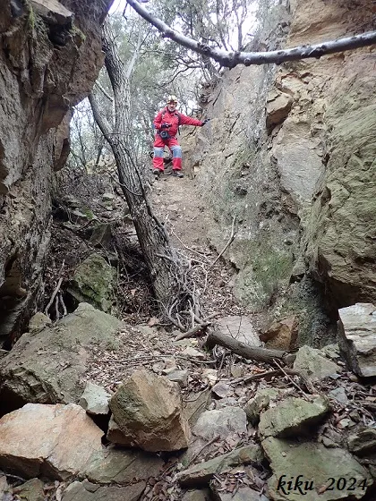
It is a small, non-continuous fissure, with a total length of 36 metres and a maximum height difference of 6.70 metres; this fissure is related to the Amer fault, in fact it is located on a fault line. We also find, parallel to and below the main fissure, some small fissures that are completely impenetrable.
History
A cavity that is not documented speleologically, known to geologists and hikers.
It is related to the earthquakes that occurred in 1427, where according to the chronicles of the time various fumaroles of toxic gases appeared at different points on the mountain, causing deaths.
From the well-verified primary historical sources, no descriptions have been cited of ground ruptures with displacements of both lips, that is, fault scarps related to the 1427 seismic events; only open fissures with subvolcanic emanations between Lloret Salvatge and Amer during the earthquake of 22-04-1427.
User Comments (0)
No comments yet.
Be the first to share your experience!
Registered Explorations (0)
No explorations registered yet.
Register your visit to this cave!
Bibliography
- Ferrer, P.; Masana, E.; Santanach, P;(1996).-”Expresión geomorfológica de la actividad reciente de la falla de Amer.(NE de la Península Ibérica). Acta Geológica Hispánica nº4, pp. 17-24. (pub.1999).
- Topografia de Jaume Mas Moiset, Free Caving Team. 17-04-2022.
- Dades i fotografies facilitades per Juli Serrano (SIE-CEA) i Francesc Rubinat (ERE-CEC). Febrer de 2024.
Nearby caves
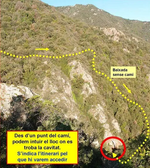
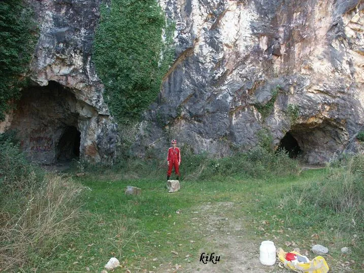


Source: Espeleoindex (espeleoindex.com), modified. CC BY-NC 4.0, https://creativecommons.org/licenses/by-nc/4.0/