
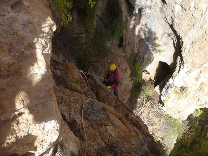
Cova Penjada del Grau d'ingla
A 42 m long cave in the Vall d'Ingla (Cerdanya), with a gallery divided by the remains of a partition and an upper entrance that descends through a shaft.
EspeleoWorld
Cova Penjada del Grau d'ingla
A 42 m long cave in the Vall d'Ingla (Cerdanya), with a gallery divided by the remains of a partition and an upper entrance that descends through a shaft.
Bellver de Cerdanya · Cerdanya
Length: 42 m · Depth: 17 m
Updated record
https://espeleoworld.com/en/c/cova-penjada-del-grau-d-ingla
Information can change. Always verify coordinates, access, weather, and cave conditions before setting out.
A 42 m long cave in the Vall d'Ingla (Cerdanya), with a gallery divided by the remains of a partition and an upper entrance that descends through a shaft.
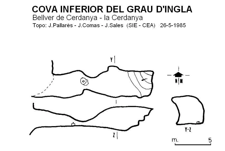
Topographic
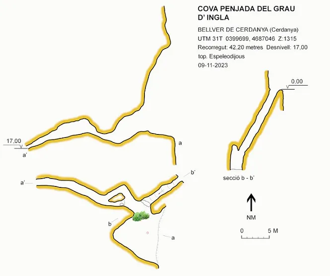

Espeleoindex · CC BY-NC 4.0, https://creativecommons.org/licenses/by-nc/4.0/ · Image © its author.
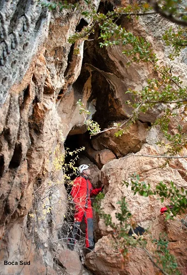
Photos

Espeleoindex · CC BY-NC 4.0, https://creativecommons.org/licenses/by-nc/4.0/ · Image © its author.
Description
Morphology
Through a large entrance one enters a gallery divided in two by the remains of a separating partition. The final section is slightly descending until it becomes impassable.
Descending the cliff gives access to an upper entrance that, through a shaft with inclined walls, emerges a few metres beyond the lower entrance.
Progression
From the upper part of the cliff a rappel is set up to access the cavity. The overhang can also be accessed by a somewhat exposed traverse.
Other details
From the sedimented floor, and on the surface, several fragments of pottery were collected which, by their typology, may date from the Neolithic to the Middle Ages.
History
The first data we have are those provided by members of the SIE – CEA who explored it in August and October 1983.
In early November 2023 members of the Espeleodijous, informed by Jordi Álvarez, a climber who knows the area well and thinking it was an unpublished cavity, visited it and updated the data and location.
User Comments (0)
No comments yet.
Be the first to share your experience!
Registered Explorations (0)
No explorations registered yet.
Register your visit to this cave!
Bibliography
- Pallarès, Joan (1986).- “Primera troballa de pintura esquemàtica al vessant meridional del Pirineu”. EspeleoSie (28): 2-7. SIE – Centre Excursionista Àliga. Barcelona.
- Revisió de coordenades, topografia 2023 i fotografies extretes del web: espeleodijous.cat Apunt d'activitat del 9-11-2023
Nearby caves
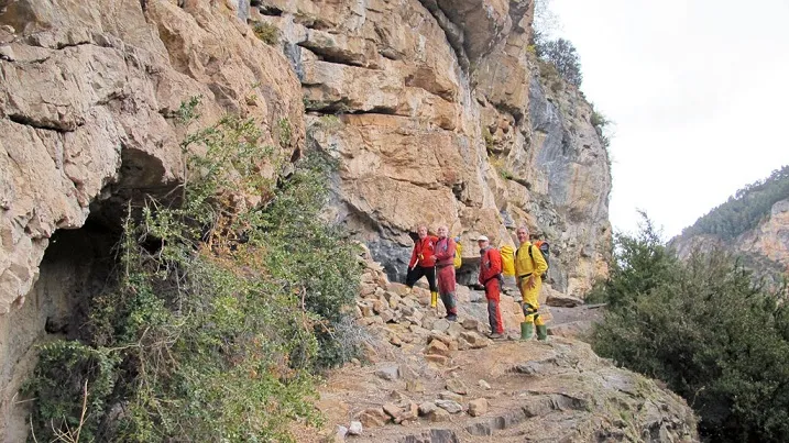
Abric de la Vall d'ingla
0.0 km · N
Bellver de Cerdanya (Cerdanya)
1 topo.2 photos
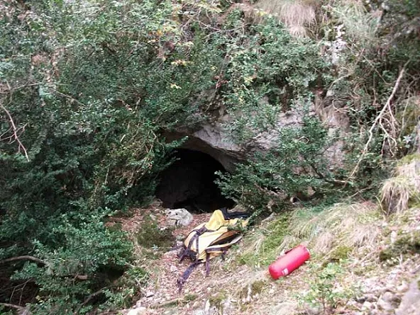
Forat de l'Esclop
0.3 km · NW
Bellver de Cerdanya (Cerdanya)
1 topo.12 photos
Túnel de Vent d'ingla
0.4 km · NW
Bellver de Cerdanya (Cerdanya)
1 topo.8 photos
Cova Inferior del Grau d'ingla
0.6 km · N
Bellver de Cerdanya (Cerdanya)
1 topo.
Source: Espeleoindex (espeleoindex.com), modified. CC BY-NC 4.0, https://creativecommons.org/licenses/by-nc/4.0/