
Cova Gran
Cova de 38 m. de recorregut a Collbató
EspeleoWorld
Cova Gran
Cova de 38 m. de recorregut a Collbató
Collbató · Baix Llobregat
Length: 38 m
Updated record
https://espeleoworld.com/en/c/cova-gran
Information can change. Always verify coordinates, access, weather, and cave conditions before setting out.
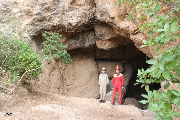
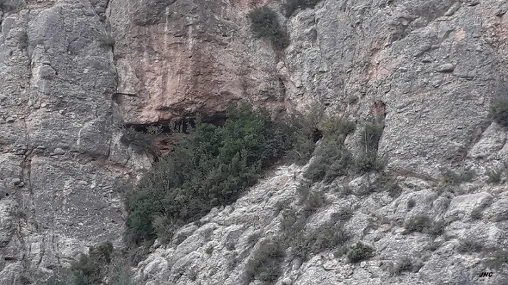
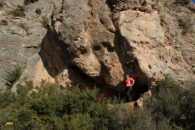
Cave with a 38 m route in Collbató, with a large entrance 7 m high by 8 m wide and a 30 m gallery. Remains of an ancient spring and an interesting prehistoric site.
Topographic
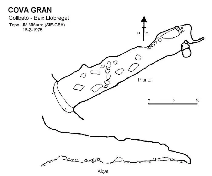
Espeleoindex · CC BY-NC 4.0, https://creativecommons.org/licenses/by-nc/4.0/ · Image © its author.
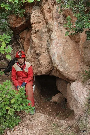
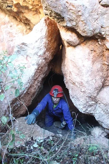
Photos
Espeleoindex · CC BY-NC 4.0, https://creativecommons.org/licenses/by-nc/4.0/ · Image © its author.
Description
Morphology
Large entrance about 7 metres high by 8 wide that gives rise to a single gallery about 30 metres long that decreases in proportions as one advances. The floor is full of blocks, some of large proportions.
Hydrology
These are the remains of an ancient spring, the most important of those located in the area of the torrent de la Font Seca.
Other details
Interesting prehistoric site.
History
Known since time immemorial. The first data and topography are the result of the campaign carried out in the area of Collbató during the years 1946, 1947 and 1950 and directed by Llopis and Thomas, of the Club Muntanyenc Barcelonès.
User Comments (0)
No comments yet.
Be the first to share your experience!
Registered Explorations (0)
No explorations registered yet.
Register your visit to this cave!
Bibliography
- Llopis, N.; Thomas, JM. (1953).- “Estudio hidrogeológico de la vertiente meridional de Montserrat”. Speleon IV (3-4): 121-192, Universidad de Oviedo.
- Ostiaelfantasma.blogspot.com.es Els Forats de la meva memòria, blog de Ferran Vergés.
- Revisió de coordenades i fotografies facilitades per Jordi Navarro (Centre Excursionista de Castellar del Vallès) (març 2022)
Nearby caves


Source: Espeleoindex (espeleoindex.com), modified. CC BY-NC 4.0, https://creativecommons.org/licenses/by-nc/4.0/