
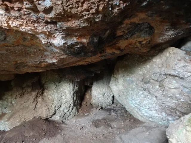
Cova del Camí Nou
Small cave near the Cavall Bernat, in Matadepera, with an entrance about 5 m wide and 3 m high.
EspeleoWorld
Cova del Camí Nou
Small cave near the Cavall Bernat, in Matadepera, with an entrance about 5 m wide and 3 m high.
Matadepera · Vallès Occidental
Length: 15 m · Depth: 5 m
Updated record
https://espeleoworld.com/en/c/cova-del-cami-nou
Information can change. Always verify coordinates, access, weather, and cave conditions before setting out.
Small cave near the Cavall Bernat, in Matadepera, with an entrance about 5 m wide and 3 m high.
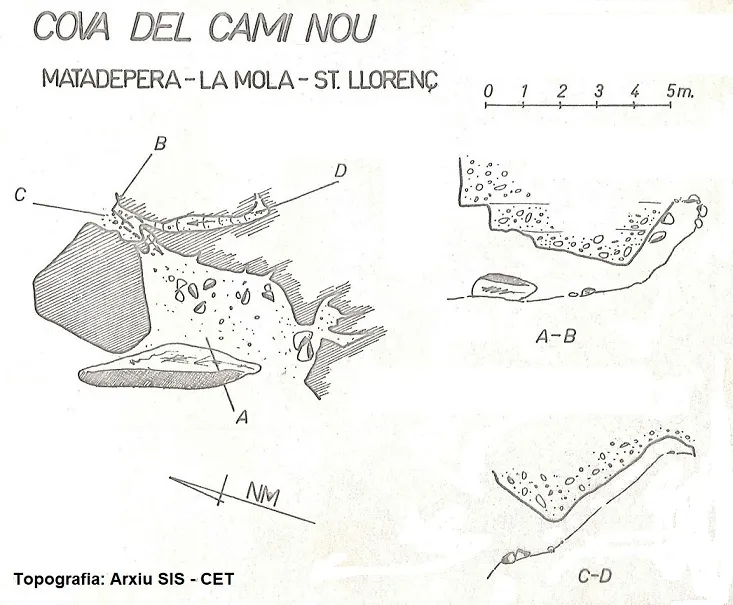
Topographic

Espeleoindex · CC BY-NC 4.0, https://creativecommons.org/licenses/by-nc/4.0/ · Image © its author.
Photos

Espeleoindex · CC BY-NC 4.0, https://creativecommons.org/licenses/by-nc/4.0/ · Image © its author.
Description
Morphology
An entrance about 5 m wide and 3 m high forms the vestibule of a chamber of little length that soon drops in height; the presence of large blocks is remarkable. Continuing toward the N there is an ascending passage that ends choked by blocks and sediments. In this same sector there is another entrance, of much smaller dimensions, which also connects with another ascending passage that ends blocked after a few metres.
History
Explored and surveyed, we do not know the date, by members of the SIS – CE Terrassa, approximately at the beginning of the 1990's.
User Comments (0)
No comments yet.
Be the first to share your experience!
Registered Explorations (0)
No explorations registered yet.
Register your visit to this cave!
Bibliography
- Valles, Jordi de (2011).- Catàleg Espeleològic de Catalunya. Vol. 5. 560 pp. Espeleo Club de Gràcia / Federació Catalana d'Espeleologia. Barcelona. (2016)
- Dades inèdites arxiu de topografies SIS – CET i Xavier Badiella
- Fotografies extretes del blog: trailsantllorenc.blogspot (de Lluís R. Hernández, Matadepera)
Nearby caves
Cova del Cap del Faraó
0.2 km · NE
Matadepera (Vallès Occidental)
1 topo.3 photos
Cova de la Cinta
0.2 km · NE
Matadepera (Vallès Occidental)
1 topo.1 photos
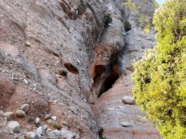
Cova de les Gaites
0.2 km · SE
Matadepera (Vallès Occidental)
1 topo.1 photos
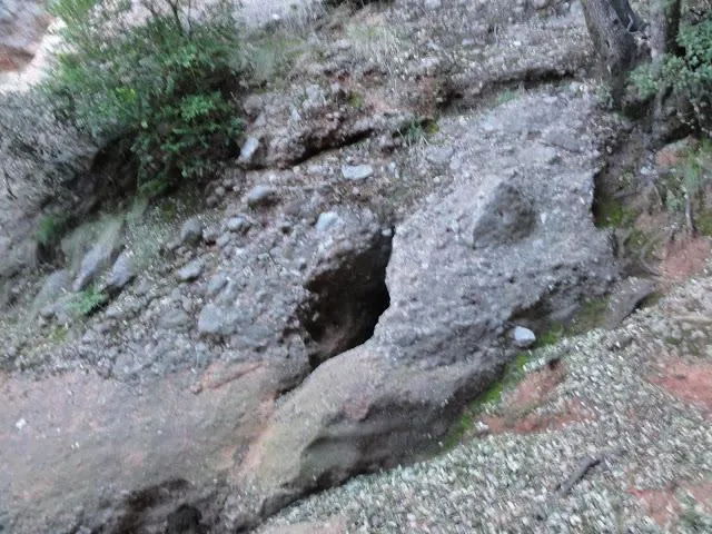
Avenc de la Canal de l'esquirol
0.3 km · SE
Matadepera (Vallès Occidental)
1 topo.1 photos
Source: Espeleoindex (espeleoindex.com), modified. CC BY-NC 4.0, https://creativecommons.org/licenses/by-nc/4.0/