Cova del Bruto

Cova del Bruto

Small and almost unknown cave on the NW slope of the Montsià (Freginals), located in 2015 by Pep Badia.

Freginals • Montsià 15m

Small and almost unknown cave on the NW slope of the Montsià (Freginals), located in 2015 by Pep Badia.

Characteristics

Location

Small and almost unknown cave on the NW slope of the Montsià (Freginals).

We leave Freginals along the old road to la Ràpita. At the height of the Serreta, on the left, the road forks and we go down to the right. We cross the barranc de les Fenoses and now take the road on the left, and we follow it always straight on towards the Montsià, until the end, at some olive and carob tree estates of the racó de les Fossetes. We leave the car in a lay-by on the road.

We cross the last olive estate on the road and we can already see a path at the back that heads towards the ravine that opens up before us. We leave a small dry-stone hut on the left and go up the path that at first leaves us on the right-hand part of the ravine, among old abandoned terraces, now used by hunters. When the sparse terraces end, we try to go down and cross the ravine to change slope, to the left-hand part.

To say we are following a path would be very pretentious, we trace small trails, which hunters and hunted have been leaving, to climb steeply up the left of the ravine. The reference must be a high crag point, which has a fairly large pine tree beside it. The trail passes below it.

Once we have reached the pine tree we continue in an E direction, levelling out without losing height, almost along the base of the crags that remain on our left and that make up the cingle de Talarn. Behind us we leave a good panorama of the Racó de les Fossetes, and of the Freginals.

The ravine turns to the left. Some large rock gendarmes, which we can skirt at the base, show us the way, which now becomes steep again, broken up by different trails here and there that quickly gain height. We are nearly there, we are at the so-called racó de Peret.

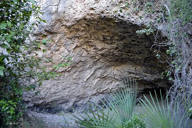
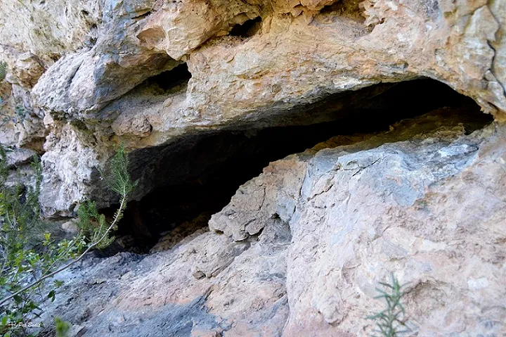
The reddish crag on our left is the landmark. We have to climb almost to the end of the crag, and at its very base, next to a large strawberry tree, we find the mouth of the Cova del Bruto.

Map

Entrances

Always verify coordinates and access conditions before setting out.

  1. Cova del Bruto

    Elevation: 345 m

    40.656837, 0.540321
    UTM 31T (ETRS89) 292058 4503573
Download all entrances as GPX

Photos

Cova del Bruto - Photo, Freginals, MontsiàView image
Click to enlarge

Espeleoindex · CC BY-NC 4.0, https://creativecommons.org/licenses/by-nc/4.0/ · Image © its author.

Image 1 of 5

Description

Morphology

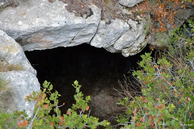
It is a kind of diagonal joint that sinks into the crag. At the bottom it widens, but always maintaining this strong inclination.

We do not know the exact dimensions of the cavity as we do not know any survey of it.

Speleothems

It gives us numerous formations. A large fossil flowstone stands out, following the direction of the crag that hides the cave.

Progression

At the bottom, a fissure reveals a very narrow crawlway, from which a draught can be felt, and which could be a continuation of the cave. Towards the upper and lower part there are also fissures that could have a certain continuity.

History

Certainly known since remote times, even so a speleological mention had never been made. Geolocated, although erroneously, on different hiking maps of the Montsià massif. Located in 2015 by Pep Badia.

User Comments (0)

No comments yet.

Be the first to share your experience!

Registered Explorations (0)

No explorations registered yet.

Register your visit to this cave!

Bibliography

  • Totes les dades, coordenades i fotografies han estat extretes del blog: senderes.blogspot (de Pep Badia, la Ràpita). Apunt del 26-3-2018

Source: Espeleoindex (espeleoindex.com), modified. CC BY-NC 4.0, https://creativecommons.org/licenses/by-nc/4.0/