
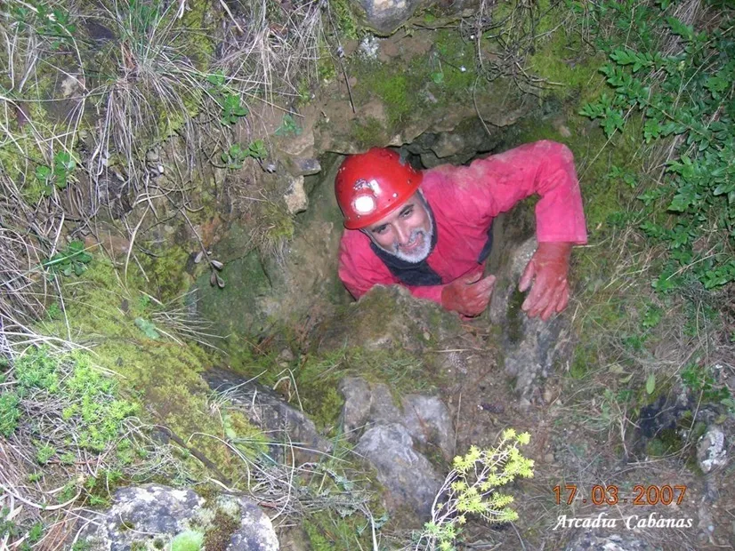
Cova del Brugal
Cavitat de 44 m. de fondària i 279 de recorregut al municipi de Sant Esteve de la Sarga.
EspeleoWorld
Cova del Brugal
Cavitat de 44 m. de fondària i 279 de recorregut al municipi de Sant Esteve de la Sarga.
Sant Esteve de la Sarga · Pallars Jussà
Length: 279 m · Depth: 44 m
Updated record
https://espeleoworld.com/en/c/cova-del-brugal
Information can change. Always verify coordinates, access, weather, and cave conditions before setting out.
A cavity 44 m deep and 279 m long in the municipality of Sant Esteve de la Sarga, known since ancient times and explored since 1958.
Topographic
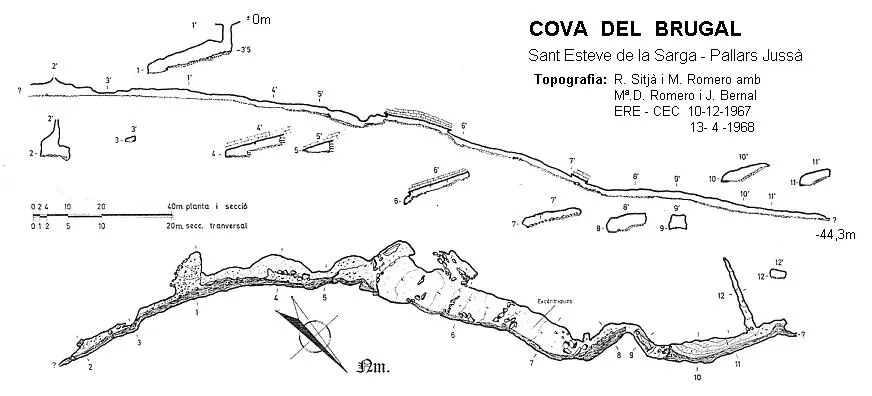

Espeleoindex · CC BY-NC 4.0, https://creativecommons.org/licenses/by-nc/4.0/ · Image © its author.
Photos

Espeleoindex · CC BY-NC 4.0, https://creativecommons.org/licenses/by-nc/4.0/ · Image © its author.
Description
Morphology
The entrance mouth (1x0.60) with a small step gives access to a descending gallery that will place us on the main axis of the cave. If we go up the gallery towards the East it becomes narrow and after about 25 metres it becomes impenetrable; on the other hand, if we follow the direction of the watercourse we will find a sector with a flat ceiling with a height that goes from 1 to 1.60 metres, while the width is much greater. The continuation is half blocked by boulders and one must search for the passage that will place us at the widest point of the cave (18 metres). The gallery follows the dip of the bedding planes, finding the floor covered with sediments and fallen slabs of strata. Next the gallery makes an 'S' with a parabolic ceiling and a width of 2.5 metres, shortly after the gallery narrows until it becomes impracticable.
Speleothems
In the stretch where the gallery follows the dip of the bedding planes we find various lithogenic phenomena. In the 'S' gallery the floor is covered by very white concretion.
Hydrology
A small watercourse runs along the main axis of the cave; we lose the stream momentarily only to find it again a little further on. A dye tracing with fluorescein gave a positive result at the font del Pasterot de la maçana and at the font dels Horts.
Progression
The entrance mouth (1x0.60) with a small step gives access to a descending gallery that will place us on the main axis of the cave. If we go up the gallery towards the East it becomes narrow and after about 25 metres it becomes impenetrable; on the other hand, if we follow the direction of the watercourse we will find a sector with a flat ceiling. The continuation is half blocked by boulders and one must search for the passage that will place us at the widest point of the cave (18 metres). Next the gallery makes an 'S' and shortly after it narrows until it becomes impracticable.
History
The first exploration of this cavity, known since ancient times by the inhabitants of Alsamora and Sant Esteve de la Sarga, was by members of the CGB, in 1958. Later in 1963 a team from the GIE led by Josep Castell visited it. On the same dates F. Chavarria and J. Sangenís of the GES visited it. For almost five years it was forgotten, until a campaign of the ERE-CEC in December 1967 in which its survey began.
User Comments (0)
No comments yet.
Be the first to share your experience!
Registered Explorations (0)
No explorations registered yet.
Register your visit to this cave!
Bibliography
Borràs, J; Miñarro, J.M.; Talavera, F.(1979).-'el Pallars Jussà'. Catàleg Espeleològic de Catalunya (Vol.3):1-211. ed. Políglota. Barcelona.
Escolà, O. (1970).-'Catálogo espeleológico del Montsec'. Espeleòleg (11-12): 453-541, ERE del CEC, Barcelona.
Romero i Rectoret, Martí (1970) .-'La cova del Brugal'. Espeleòleg (11-12):554-558, ERE-CE Catalunya, Barcelona.
Sas Planas, Francisco.(1967).-'Graller Gran del Corralot'. Cavernas (9): 10-28. G.E. Badalona.
Valles, Jordi de (2008).-'Alta Ribagorça, Pallars Jussà, Pallars Sobirà i Val d'Aran'. Catàleg Espeleològic de Catalunya (vol.1):1-319. EC Gràcia/FCE.
Fotografies extretes del web espeleodijous.cat post del dia 29-4-2021.
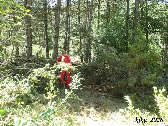
Fotografies facilitades per Francesc Rubinat i Arcadia Cabanas (2007 i 2026)
Nearby caves
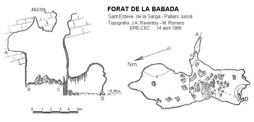
Forat de la Badada
1.3 km · W
Sant Esteve de la Sarga (Pallars Jussà)
1 topo.
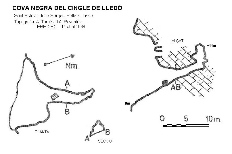
Cova Negra del Cingle de Lledó
1.5 km · SW
Sant Esteve de la Sarga (Pallars Jussà)
1 topo.
Forat del Barranc del Teix
2.0 km · SW
Sant Esteve de la Sarga (Pallars Jussà)
Cova dels Mosquits
2.1 km · S
Sant Esteve de la Sarga (Pallars Jussà)
1 topo.6 photos
Source: Espeleoindex (espeleoindex.com), modified. CC BY-NC 4.0, https://creativecommons.org/licenses/by-nc/4.0/