

Cova de Montaspre
Cova sota les ruïnes de l'església de Sant Miquel de Montaspre a l'Ametlla de Montsec (Camarasa).
EspeleoWorld
Cova de Montaspre
Cova sota les ruïnes de l'església de Sant Miquel de Montaspre a l'Ametlla de Montsec (Camarasa).
Camarasa · Noguera
Length: 32 m · Depth: 16 m
Updated record
https://espeleoworld.com/en/c/cova-de-montaspre
Information can change. Always verify coordinates, access, weather, and cave conditions before setting out.
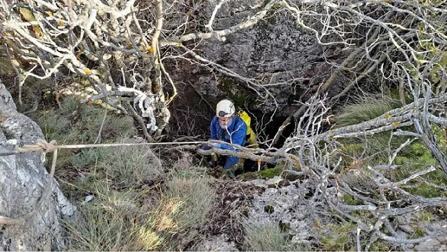
Cave beneath the ruins of the church of Sant Miquel de Montaspre, in l'Ametlla de Montsec (Camarasa).
Topographic

Espeleoindex · CC BY-NC 4.0, https://creativecommons.org/licenses/by-nc/4.0/ · Image © its author.
Photos
Espeleoindex · CC BY-NC 4.0, https://creativecommons.org/licenses/by-nc/4.0/ · Image © its author.
Description
Morphology
The mouth, divided by the ceiling, gives access by means of a step of just over one metre to a fairly high gallery that descends in a ramp. Halfway along the route there are some blocks that form a step of just over one metre of drop. The gallery continues descending until it becomes impenetrable at -16.5 metres of drop. The average width of the gallery is 0.9 metres.
History
The cave takes its name from the old castle and the church of Sant Miquel de Montaspre, which lies just above the cave.
The first reference to the place called Asper Mons is found in the year 1048, in the will granted by Arnau Mir de Tost and his wife Arsenda.
In the year 1057, in a document of an exchange, it is cited as Asperum Montis; and in the year 1066, in a document of distribution of goods of the abbey of Àger, it is cited as Aspremont.
It is in the year 1112, in a will of Guillem Gilabert, where it is already cited as Montaspre.
The cave, despite being known by local people, some hikers from Lleida and being signposted on the signs of the itinerary to the castle, has remained unpublished in the speleological bibliography.
User Comments (0)
No comments yet.
Be the first to share your experience!
Registered Explorations (0)
No explorations registered yet.
Register your visit to this cave!
Bibliography
- Dades i coordenades facilitades per Joan Ramon Segura, del seu blog (excursionsdeljoanramon.blogspot.com) post del dia 12-12-2022. També hi ha l'enllaç al track per arribar-hi.
- Dades, topografia i fotografies facilitades per Juli Serrano (SIE-CEA) i Francesc Rubinat (ERE-CEC), desembre 2022.
Nearby caves


Source: Espeleoindex (espeleoindex.com), modified. CC BY-NC 4.0, https://creativecommons.org/licenses/by-nc/4.0/