
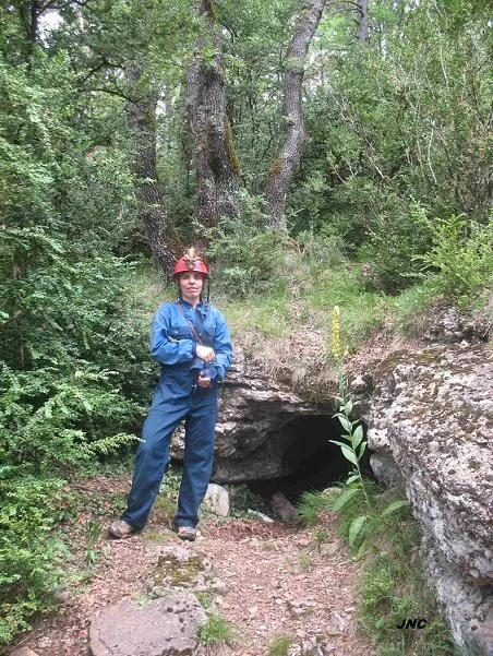
Cova de Llentes
Cova de 145 m. de recorregut a les Llosses (Ripollès)
EspeleoWorld
Cova de Llentes
Cova de 145 m. de recorregut a les Llosses (Ripollès)
Llosses, Les · Ripollès
Length: 145 m · Depth: 19 m
Updated record
https://espeleoworld.com/en/c/cova-de-llentes
Information can change. Always verify coordinates, access, weather, and cave conditions before setting out.
Cave with a 145 m route in les Llosses (Ripollès), on the S slope of the Rasos de Tubau, in the Serra de les Ajagudes. Access updated in 2025.
Topographic
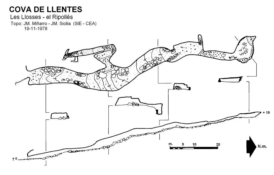

Espeleoindex · CC BY-NC 4.0, https://creativecommons.org/licenses/by-nc/4.0/ · Image © its author.
Photos

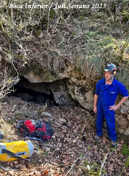
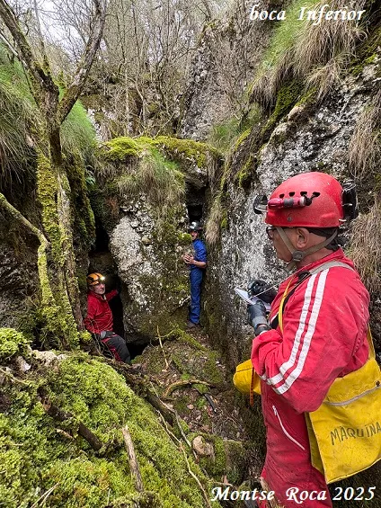
Espeleoindex · CC BY-NC 4.0, https://creativecommons.org/licenses/by-nc/4.0/ · Image © its author.
Description
Morphology
At the bottom of a natural trench the entrance mouth to the cavity opens, giving way to a gallery about 2 metres high on average and with a slightly ascending floor, which will be the general pattern throughout the whole route. About 30 metres from the entrance the gallery gains height and width, and at this point the only existing branch opens, made up of an ascending gallery 25 metres long that ends blocked by boulders.
The main gallery continues with the previous characteristics, narrowing at some points because of the existing boulders. About 100 metres from the entrance a narrow passage opens that leads to the last chamber of the cavity, about 10 metres wide and 1.5 metres high.
Speleothems
The lithogenic forms are few, except for the final chamber.
Hydrology
The origin of the cave seems to be due to the runoff of waters taking advantage of the dip of the conglomerate mass and leaving the sandy materials on the roof. The small side gallery was possibly the last drainage conduit for the waters.
Progression
The approximate route from the road is 11 kilometres. The cavity is on the left and below the track.
Other details
The clastic process is important at some points of the gallery.
History
Cavity known to the locals of the area for a very long time, but which had gone unnoticed in the old catalogues and the only references could be found in hiking bibliography and cartography.
The oldest record they know of a speleological visit is from May 1966 (we do not know who could have made the first exploration) in which Josep Castell took part (we do not know which speleological group he was in at that time).
We also know that around 1970-1972 it was visited by members of the ERE – CEC and that they made a survey that was never actually drawn.
In November 1978 members of the SIE – CEA visited it and produced the only survey we know of.
User Comments (0)
No comments yet.
Be the first to share your experience!
Registered Explorations (0)
No explorations registered yet.
Register your visit to this cave!
Bibliography
- Borràs, J.; Miñarro, JM.; Talavera, F.(1980).-”el Ripollès, la Garrotxa i l'Alt Empordà”. Catàleg Espeleològic de Catalunya. (vol. 4):1-296. Ed. Políglota. Barcelona.
- Valles, Jordi de. (2009).-”Berguedà, Cerdanya, Garrotxa i Ripollès”. Catàleg Espeleològic de Catalunya. (Vol.3):1-381. E C Gràcia/FCE
- Coordenades i fotografies facilitades per Jordi Navarro (Centre Excursionista de Castellar del Vallès).
- Situació i fotografies 2025 extretes del web Espeleodijous (post del 13-02-2025).
Nearby caves
Cova d'en Nil de la Riba
1.4 km · NW
Llosses, Les (Ripollès)
1 topo.11 photos
Esquerda Nº1 del Clot de l'infern
1.4 km · NW
Llosses, Les (Ripollès)
1 topo.9 photos
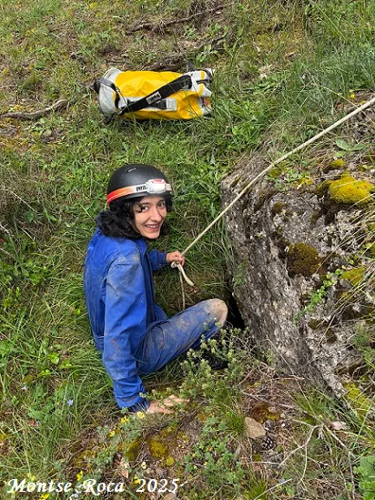
Forat de Cal Gil
2.0 km · S
Llosses, Les (Ripollès)
1 topo.4 photos
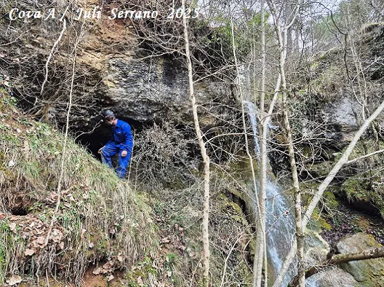
Coves de l'Aigua de Caselles
2.1 km · W
Llosses, Les (Ripollès)
1 topo.13 photos
Source: Espeleoindex (espeleoindex.com), modified. CC BY-NC 4.0, https://creativecommons.org/licenses/by-nc/4.0/