
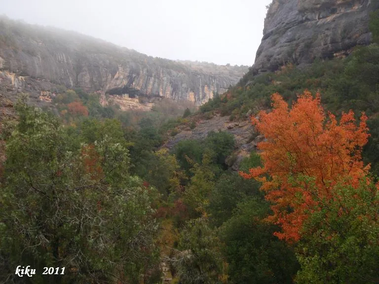
Cova de la Vansa
Large worked rock shelter 135 metres long and 21 deep in the barranc de Fontfreda (Vilanova de Meià), inhabited until 1932 and frequented by climbers.
EspeleoWorld
Cova de la Vansa
Large worked rock shelter 135 metres long and 21 deep in the barranc de Fontfreda (Vilanova de Meià), inhabited until 1932 and frequented by climbers.
Vilanova de Meià · Noguera
Length: 21 m · Depth: 2 m
Updated record
https://espeleoworld.com/en/c/cova-de-la-vansa
Information can change. Always verify coordinates, access, weather, and cave conditions before setting out.
Large worked rock shelter 135 metres long and 21 deep in the barranc de Fontfreda (Vilanova de Meià), inhabited until 1932 and frequented by climbers.
Topographic
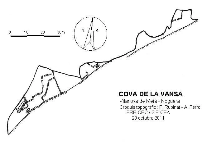

Espeleoindex · CC BY-NC 4.0, https://creativecommons.org/licenses/by-nc/4.0/ · Image © its author.
Photos

Espeleoindex · CC BY-NC 4.0, https://creativecommons.org/licenses/by-nc/4.0/ · Image © its author.
Description
Morphology
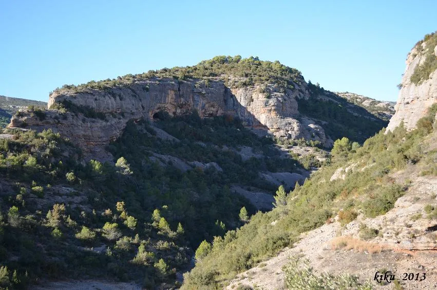
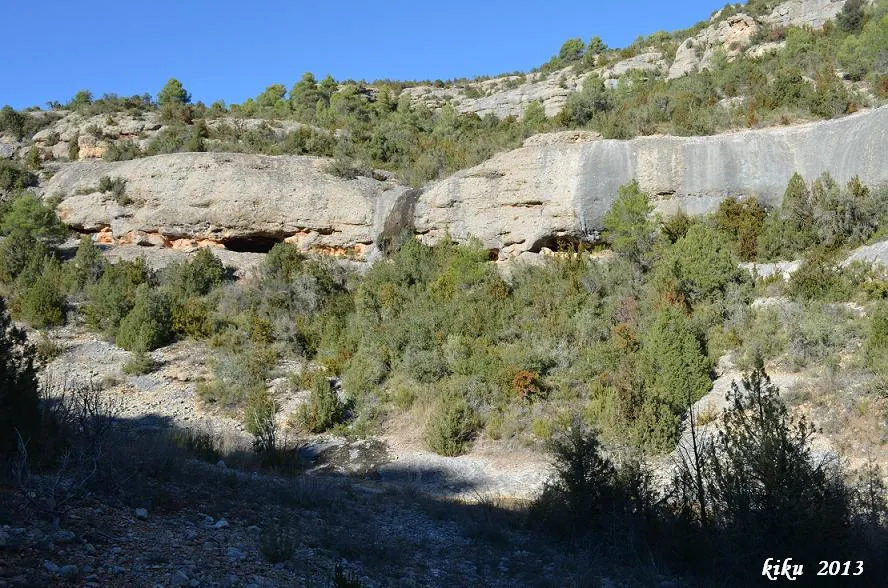
It is a large rock shelter 135 metres long divided into two sections. In the one situated further W and closer to the entrance of the ravine, we find a building two storeys high and divided into several compartments; in one of them an enormous wine vat is still preserved. The deepest point is found in this sector at 21 metres, as well as the maximum height of the shelter, which is 9 metres. At the eastern end of this section we also find a series of worked compartments. In the eastern section of the continuation of the shelter we find a small shelter and, after passing a stone frame, we will reach the last shelter, which is also worked.
Hydrology
The word "bansa" or "vansa" is a hydronym (a toponym related to water). It comes from the Basque and Franco-Provençal word "laban", meaning soft, slippery, like the river that is born at the Font Freda and descends through the barranc de Fontfreda.
Progression
To reach the eastern part of the continuation of the shelter, one must descend to the foot of the cliff and then climb back up.
History
The toponym has been known since the beginning of 1010, as it appears as a boundary of the endowment made by Count Ermengol II of Urgell to the church of Montmagastre. Later it formed part of the Barony of Lavansa and in 1926 it was annexed to the municipality of Vilanova de Meià.
Inhabited permanently until the year 1932 by the Puigpinós family. It served as a hiding place during the civil war; later Solé, nicknamed "el Grives", lived there; from 1941 until 1950 it was inhabited by Ventura Puigpinós, born in the house at the beginning of the 20th century; afterwards it remained abandoned. On 29 October 1967 it was visited by several members of the SAS-CGB and of the ERE of the CEC. At present the place is much frequented by climbers.
User Comments (0)
No comments yet.
Be the first to share your experience!
Registered Explorations (0)
No explorations registered yet.
Register your visit to this cave!
Bibliography
- Cortés i Ribelles, Manuel.(1984).- El Montsec i Muntanyes Veïnes. Centre Excursionista de Lleida.
- Escolà i Boada, Oleguer (1970).- “Catálogo Espeleológico del Montsec”. Espeleòleg (11-12):453-541. ERE del CEC. Barcelona.
- Reig,Joan; Aymamí,Gener; Peidró,Eliseo.(1998).-”Baronia de Lavansa: Romànic i trogloditisme amb incògnites”. Excursionisme (270):230-236. UEC. Barcelona.
- Pallarès-Personat, Joan.(1998).-”Manifestacions rupestres de la cova de Lavansa”. Excursionisme (270):237. UEC. Barcelona.
- Vega, Josep de la. (1981).-”Aplec de documents arqueològics de les coves del Montsec i llur projecció a les comarques i serres properes”. Mediterrània (12): 1-359.
Nearby caves
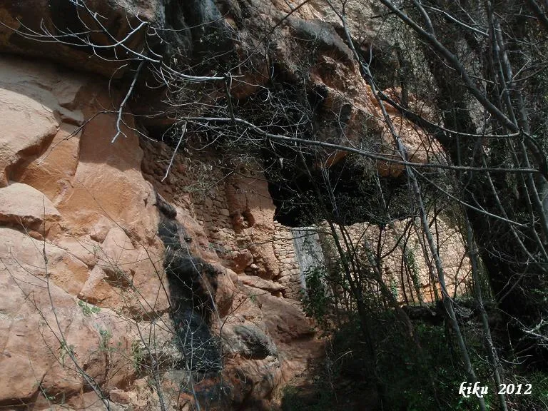
Cova Inferior de la Vansa
0.1 km · NE
Vilanova de Meià (Noguera)
1 topo.3 photos
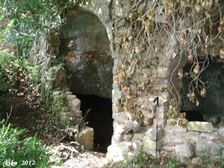
Cova de l'Ermita de la Vansa
0.1 km · SW
Vilanova de Meià (Noguera)
2 topo.4 photos
Cova dels Carrers de Lluçars
0.3 km · W
Vilanova de Meià (Noguera)
1 topo.8 photos
les Tres Coves
0.5 km · W
Vilanova de Meià (Noguera)
1 topo.4 photos
Source: Espeleoindex (espeleoindex.com), modified. CC BY-NC 4.0, https://creativecommons.org/licenses/by-nc/4.0/