
Cova de la Vall
Petita cova de 45 m. de recorregut a Sant Llorenç del Munt
EspeleoWorld
Cova de la Vall
Petita cova de 45 m. de recorregut a Sant Llorenç del Munt
Sant Llorenç Savall · Vallès Occidental
Length: 45 m
Updated record
https://espeleoworld.com/en/c/cova-de-la-vall
Information can change. Always verify coordinates, access, weather, and cave conditions before setting out.
Small cave with a 45 m passage in Sant Llorenç del Munt, an old spring with two crossing galleries and three entrances.
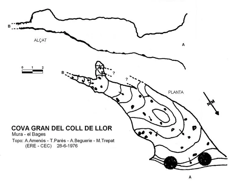
Topographic
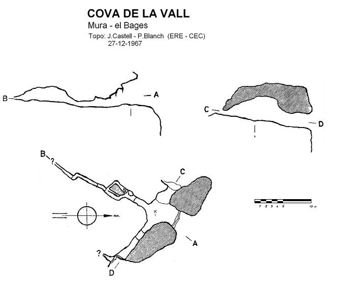
Espeleoindex · CC BY-NC 4.0, https://creativecommons.org/licenses/by-nc/4.0/ · Image © its author.
Photos
Espeleoindex · CC BY-NC 4.0, https://creativecommons.org/licenses/by-nc/4.0/ · Image © its author.
Description
Morphology
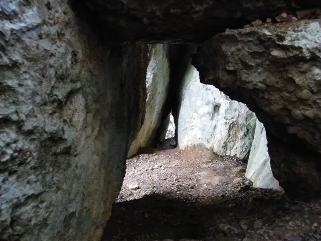
An old spring of which two crossing galleries still remain, structured along two main joints that intersect orthogonally. The cave is now completely inactive and represents an old resurgence point at the contact with the marly materials. The main gallery is of reduced dimensions.
As a result of the disintegration of the rock in this area, the cova de la Vall has three entrances arranged in the shape of a cross that connect it with the outside. But the only one that allows access on flat ground is the western one, which is the one that gives onto the path and the gully. Once past the access entrance, which forces us to crouch down, we will stand up and advance along a gallery that at its start is wide, with a passage of about fourteen metres, reaching a maximum height of four metres, at which point a second large entrance opens on our left and on the right open the narrow galleries that make up most of the cavity. If we follow the first gallery straight ahead, we will come out upright at another outside entrance hidden behind a holm oak.
Speleothems
Only the southern galleries show remains of concretion on the walls, with some block fallen from the ceiling.
Progression
These galleries become impassable.
History
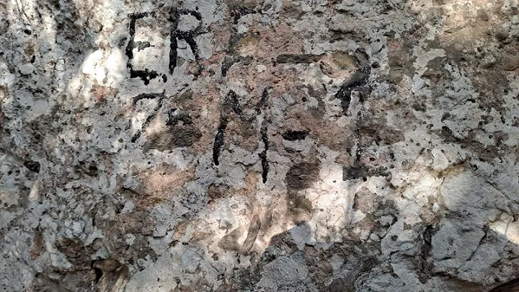
The only reference we knew of was the one given by the members of the ERE – CEC who explored and surveyed it on 27 December 1967.
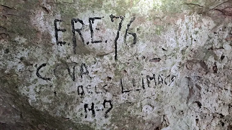
On the map of Sant Llorenç del Munt published by the Centre Excursionista de Terrassa in 1987 it locates the cavity, but erroneously calls it Cova dels Llimacs. This confusion was resolved years later by our colleague Jordi Guillemot (SIS-CET).
User Comments (0)
No comments yet.
Be the first to share your experience!
Registered Explorations (0)
No explorations registered yet.
Register your visit to this cave!
Bibliography
- Romero, M. (1974).- “Les cavitats del Turó del Montcau (Sant Llorenç del Munt)” Espeleòleg (21): 37-62. ERE del Centre Excursionista de Catalunya. Barcelona.
· Fitxa actualitzada a partir de les dades, topografia i fotos extretes del web: elcaudelguille.net (Jordi Guillemot; SIS - CET)
Nearby caves


Source: Espeleoindex (espeleoindex.com), modified. CC BY-NC 4.0, https://creativecommons.org/licenses/by-nc/4.0/